Tuesday 23/8

Jågåsjbuollda – Sitasjaure
| Horizontal distance: | 13.5 km |
| Vertical distance: | +180 m, -420 m |
| Time: | 4 h 30 min |
| Lunch break: | 30 min |
| Dinner: | Pasta with walnuts |
| Night accommodation: | Cottage |
| Stage classification: | Easy/medium |
| Map point: | Sitasjaure |
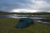
Temperatures dropped quite a bit during the night, and I had to pull the sleeping bag shut more closely to compensate. The wind and showers continued, but there was more of the former than the latter. I checked the weather around 7, finding the clouds to be mostly the same as the evening before, but there were also blue patches of the sky visible. I stayed in "bed" a bit longer, timing an outing to one of the brief breaks between (light) showers. The wind was chilly and the clouds low, but the ones around Álitoajvve seemed to be about to lift. While I was having breakfast inside the tent this proved true, and my intended ascent was soon in the clear. I struck the tent in rather a strong wind the direction of which had shifted around to due westerly, and then left wearing the rain jacket at 10:00.
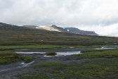
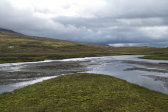
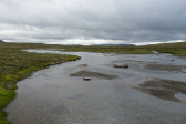
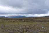
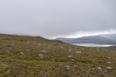
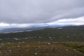
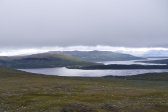
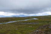
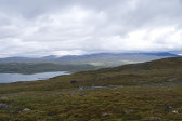
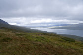
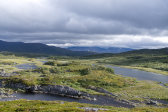
First I had to walk a short distance upstream to find safe footing off the islets, and then I aimed straight for the marked outrunner south of the main rise of Álitoajvve. The terrain shifted between bumpy and wet, and there were a number of small brooks running down the slope – indeed, the name Jågåsjbuollda means exactly that: "slope of small streams". At times there were faint traces of a path – of human or reindeer origin – but progress was not difficult anyway. The wind was still on the strong side, and it took a kilometer or two before I noticed that I was still wearing the micro fleece shirt which I had put on against the morning cold, so I decided to leave it on for now. Showers competed with sunlight in the distance, and all the peaks were cut off.
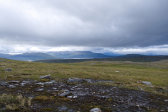
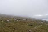
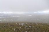
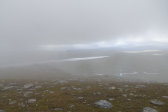
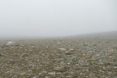
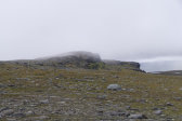
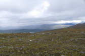
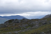
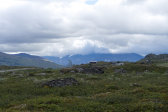
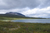
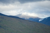
When I was perhaps halfway to the outrunner a drifting cloud had appeared which just touched its top, and as I got closer it sank further. My heading was not in doubt, however, and once I found myself in the mist I also found that visibility wasn't as bad as it had looked from the outside, especially since the density and precise distribution kept shifting. I soon reached the top of the slope where the ground consisted of dirt, moss and small rocks, which then turned into flatter rocks; the whole area was very sterile, especially with the fog, and gave a sense of a lunar landscape. As I crossed this barren expanse the mist moved on and I could see more and more of my surroundings. I went over the next, lower crest, on the other side of which was a simple descent leading down to the plain between Álitoajvve and Gähtjoajvve.
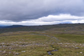
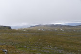
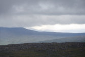
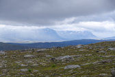
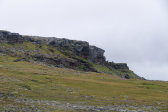
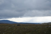
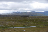
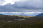
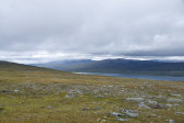
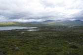
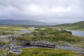
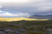
I had a considerable wind in my back as I went down, coming to a wet area and more tracks from both motorcycles and ATVs. I walked eastwards beneath the steep face of Boajmásjbákte, and as expected – the name means "rough-legged buzzard cliff" – I both heard and saw a couple of the large raptors riding the winds above it. The weather all around was an unstable mixture of showers and sunlight, which made for interesting sceneries. The ground was mostly grassland, but I noted the clear absence of the map's reindeer fence; a bit later I spotted a large bundle of mesh on a flat rise, so apparently it had been decommissioned. The wind was now even stronger, and I made my way to the largest rock I could find at 12:15, seeking shelter for lunch.
This shelter was only partial, but it was still much preferable to being unprotected; I did feel the need to put my gloves on, though. When I was ready to go again the wind was even worse, and I literally had to hold onto my hat. The rucksack with the flappy rain cover on also caught a lot of it whenever I walked at an angle to the air streams, imparting a fair bit of angular momentum. My first plan had been to pass Gähtjoajvve and then find my way down the slope between Gättsak and Snuohkke, but now I was of a mind to go east and stay in the Sitasjaure cottages instead; I'm sure the wind and the cold had something to do with the decision...
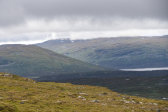
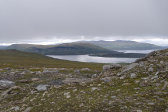
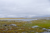
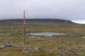
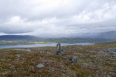
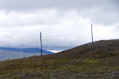
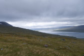
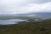
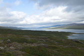
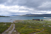
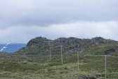
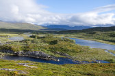
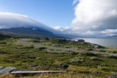
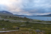
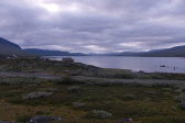
I traversed Gähtjoajvjåhkå easily enough and then passed between a series of pools, where the ground was mostly wet. I then crossed a long line of very high poles with no mesh between them, and according to a plaque they were used to measure the snow depth. Just as the terrain started to slope down towards Siiddasjávri I saw a couple of large cairns tracing a line along the precise heading I intended to take, so I just followed those. Here the ground was drier, and now there was a bit of sunlight off to the north. The view over the large lake grew as I descended, and the cairns grew sparser and were few in number, and soon the Sámi encampment at its southern end appeared as well.
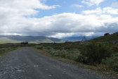
The next reindeer fence noted on the map did have a mesh, but I almost immediately found a place close to a sharp bend where it was compressed over a small rise in such a way that I could simply step over it. There were some more cairns as well as motorcycle tracks and path fragments along my continued route, but I often found my own way across the uneven slope, feeling some discomfort in my ankles. The wind was much lessened, however, and it was now a bit warm with the extra shirt. I espied a car driving up to the northernmost part of the encampment, but saw no other movement. I carefully made my way towards that part over bumps, wet patches and heathland, since the direct route to the cottages was blocked by a large marsh, and then had to cross another fence in a similarly simple manner as the mesh had come loose in several places.
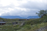
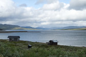
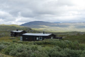
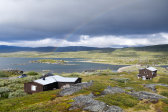
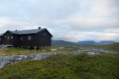
On the other side were a multitude of paths, but most of them went off in the wrong direction, so instead I ended up in an area of low osier thickets, eventually landing on an ATV track leading past the first buildings of the encampment. They were all deserted and most were barred shut, and I soon reached the end of the dirt road at a couple of piers jutting out into Siiddasjávri. I walked this road southwards, passing a newer house with the car outside, and just as I was rounding the last bend I saw a single hiker making his way over to the main cottage at 14:30. Before doing so myself, however, I walked over to the warden's cottage to announce my arrival.
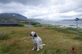
I talked some with said warden outside, after a while also getting acquainted with his eager dog. The weather had been improving for some time, but now the wind was back in force and another shower arrived. I entered the main cottage, where the other man was having a meal, and sat down for some afternoon tea myself. I took it easy while conditions shifted greatly outside, and a while later the other hiker left, continuing along the road towards Ritsem. As it was fairly chilly I fired up the stove and prepared for a wash. Before I could start, however, the warden and his dog came in for some maintenance tasks and we talked a bit more. After the wash I went out to pick some cloudberries, which just like last time were mostly undisturbed even right next to the cottage. It was rather chilly outside in the wind, but the clouds were breaking apart more and more.
After dinner it was still windy, but more and more of the peaks were slowly emerging. I spent the time with crosswords and sudoku; it didn't look like there were going to be any other guests this time either. I kept feeding the fire and read in my book as the evening progressed, and after another warden/dog visit it was snack time. Now there was only a weak breeze, but it was indeed cold as I climbed into bed before 22.
