Monday 22/8

Noajdeluokta – Jågåsjbuollda
| Horizontal distance: | 15.5 km |
| Vertical distance: | +100 m, -70 m, +200 m, -30 m |
| Time: | 5 h 15 min |
| Lunch break: | 30 min |
| Dinner: | Chicken curry |
| Night accommodation: | Tent |
| Stage classification: | Easy |
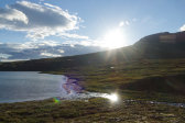
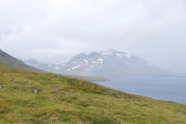
I awoke sometime during the night from a powerful gale, which was followed by higher mean wind speeds and continued gusts that made the tent rather a noisy place to be, and sleep was difficult. The wind pulled back somewhat later, and I could get some quality rest until the morning sun warmed the tent enough that getting up seemed like a good option. It was around 06:45 when I did so, looking out on a semi-clear sky with all peaks visible, and the wind was no longer something to reckon with even though it was still blowing, and very uneven. I had breakfast inside while darker clouds amassed above the peaks from the south, but behind and in front of them the sky was still clear.
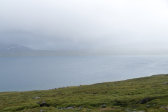
A brief and very light shower coming over Márggo hit when I was just done washing up, so I packed all my stuff inside while it passed out over the lake. A thick layer of cloud had appeared off to the southwest, which planted some worry in me, but conditions at my location were still good. I struck the tent wearing the wind jacket, changing into the rain jacket when I was almost done as another light shower of the same type started. This time, however, my worry proved merited, for that grey wall in the southwest now rushed towards me in the form of heavy rainfall coupled with strong winds, and I hunkered down behind the covered rucksack. After a while I put on the rain trousers over the hiking trousers, and when the rain showed signs of abating around 9 I thought I might just as well start walking.
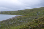
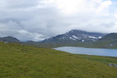
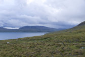
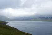
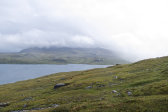
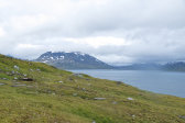
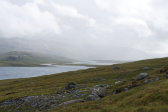
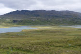
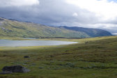
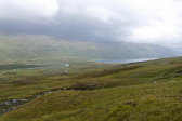
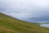
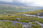
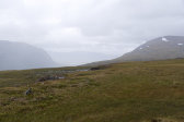
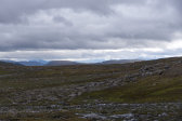
I followed reindeer paths along the shore, passing a larger beach with a good campsite nearby in the next bay. The two streams coming down from Márggo were easily passed, and as I went diagonally up the slope of the upper parts of Noajdenjárgga the rain slowly moved on northwards across the lake. The ground mostly consisted of grassy heath and progress was easy, and the temperature was so far comfortable despite the hardshell. Now glimpses of the sun were appearing in the direction of Pauro and things also seemed to be improving further ahead along my line of travel. I maintained my altitude going around the bend, utilizing one reindeer path or another, and then another shower hit, which was quickly followed by more sunlight.
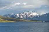
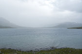
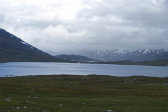
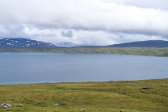
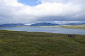
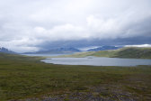
I had to descend a short distance to find a good crossing place at a swift stream with rapids, which was followed by more of the same type, but smaller. As I approached the wide and winding connection between Gåbddåjávrre and Máttajávri – the map line between Lule Sámi and North Sámi orthography passes right here – I noted that the wide headland right at the outflow from the former sported a very appealing flat surface next to yet another beach, and from what I could see from a distance there was a reindeer fence there as well (or at least poles for one). The terrain leading up to the next bend was such that it was easiest for me to go down a bit, but I also noted that it would be no use to trace the water here as the ground looked very wet along the little sub-lake (luoppal) after the headland.
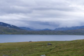
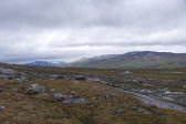
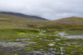
Once I saw fit to start ascending again the ground had turned bumpy, and there were more wet patches than before. I continued around the bend to get a view of the continued valley, noting that the reindeer-watching hut below looked to be of considerably newer make, with some support buildings; that must be a very nice place to live (discounting possible hardships arising from the work for which one would be doing so). It had been a while since the last shower, but now another one passed by; it was quite short, however, and the sun was coming out again as I approached a large rock where I sat down for lunch at 11:45.
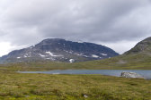
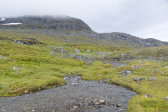
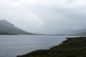
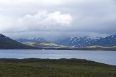
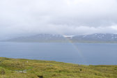
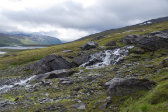
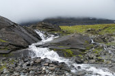
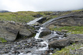
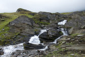
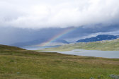
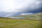
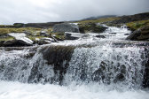
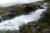
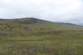
Another shower passed by in the west while I was eating, but only a few drops made it over to my rock, and the result was a strong rainbow out over Gåbddåjávrre. The slope leading up to the pass between Márggo and Álitoajvve looked very amenable to passage from where I was sitting, so I simply started ascending at the proper angle. The ground consisted of good heathland and I made good progress even as another bout of rain made things slightly misty, and the wind was on the verge of being chilly. I came to a larger stream with many a waterfall and the like, but after scouting around a bit I managed to get across in the boots where it spread out into several arms.
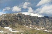
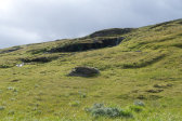
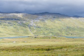
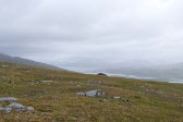
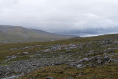
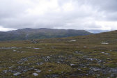
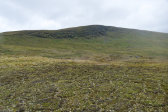
After that the ground shifted to more moss and stones as I got higher, and I noted a motorcycle track or two, which was not too surprising given the nearby reindeer-watching hut. The rain and wind continued in a shifting fashion as I entered the pass, where the ground consisted of hard moss-dirt, getting a glimpse or two of the far-off lands on the southern side. Once past the threshold I switched to the eastern side of the new valley, crossing the higher reaches of Njuovtjavjåhkå, and then ended up in an area of flattened hills intersecting at different angles. Ahead of me there was a bit of sunlight upon Unna Sievgok and the lower parts of Áhkká were visible, and the rain had stopped too.
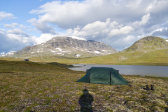
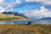
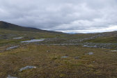
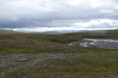
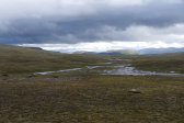
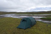
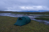
I passed some hills and came to an area where the stream spread out in many courses separated by sand banks and small grassy islets. Here I started looking around for a campsite, and after finding a couple of so-so candidates among said hills – the ground was uneven and rock-bound – I decided to investigate those islets. The sand banks turned out to be rather soft, but not quite quicksand-like, so I had to watch my footing, but I reached the grass without incident. On one of the larger islets there was a good spot with mossy grass that wasn't too wet, and the elevation above the stream coupled with the state of the vegetation around it made me feel safe about potential flooding risks, so I decided to go for it around 14:30.
A light shower started just as I was about to pitch the tent, so I decided to go hunt for guyline rocks while it passed, which involved some walking as the sandy bottom did not present many of an appropriate size. When the shower went on for longer than expected given how the preceding ones had behaved throughout the day I decided to start anyway, and as I worked it even intensified. Once inside I put on some more (dry) clothes as it was now rather cool, while the rain continued outside with only a few very short breaks, and the wind was still of a shifting nature. I passed the time doing crosswords and studying the map, and eventually things grew lighter, with a bit of sun here and there.
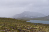
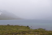
As I was preparing dinner inside there was another shower accompanied by more wind, which turned into full rain while I ate. I then read in my book and/or rested wrapped in the sleeping bag, while the outside conditions kept shifting back and forth with sharp turns. On a quick excursion in a brief break I noted that the cloud base was lower and that the further reaches were no longer visible. After my evening snack the clouds descended even further, now hiding my intended route for the morrow, but the wind was slowly growing less. I turned in after 21:45, with no extra garments on as the bag gave more than sufficient warmth at the moment.
