Wednesday 24/8
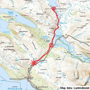
Sitasjaure – Rijtsemjávrátja
| Horizontal distance: | 15.5 km |
| Vertical distance: | -50 m, +130 m, -30 m |
| Time: | 5 h |
| Lunch break: | 1 h |
| Dinner: | Cashew rice |
| Night accommodation: | Tent |
| Stage classification: | Easy |
| Map point: | Sitasjaure |
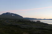
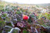
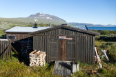
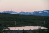
When answering a call of nature in the early morning I discovered that the sky had cleared completely and the temperature had dropped to around freezing as a consequence, so naturally I had to make some rounds with the camera before going back to sleep. I arose around 07:30 next, and it was still clear with a weak southeasterly wind, and just a very beautiful albeit chilly morning. I walked around a bit and then produced replacements for the firewood I had consumed before sitting down for breakfast, again fortified by cloudberries. I packed up and cleaned, and then went to fetch water in the lake, finding a good spot to submerge the bucket that was fairly easily reachable. The warden had already gone out on a day tour with his dog, so when I left before 09:45 the site was entirely deserted.
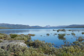
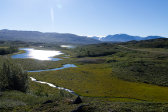
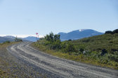
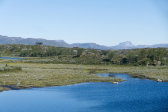
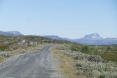
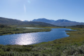
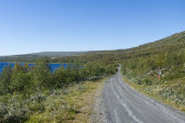
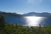
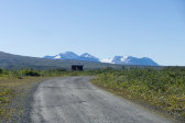
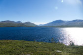
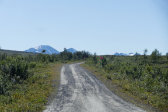
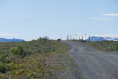
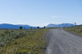
It was now quite warm in the sun, so I walked without jacket. There was a direct path leading due west south of the hill which the road bent around, which meant a somewhat shorter route, so I followed that out to the southbound road while the sun glittered like crazy on Basseluoppal. Once there I walked right at the edge where the dirt was less packed and interspersed with some blades of grass and the like, so the feeling wasn't much different from a well-travelled footpath hiking-wise.
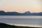
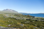
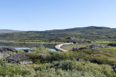
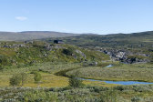
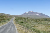
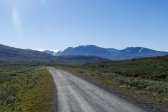
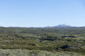
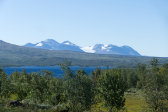
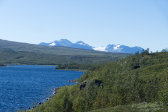
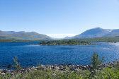
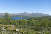
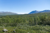
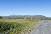
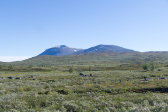
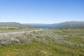
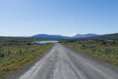
Once I reached the crest of a low slope a considerable wind had picked up, which made for more comfortable walking conditions, and going down the other side I met a couple of men with large packs and a brisk pace. The views were great, even with the blemish of the power lines (and the road itself), and the higher peaks bore traces of snowfall. I soon rounded the sharp bend between Vuojadakluoppal and Snuohkke, which brought Ávddajávri into full view, upon which the wind gave rise to sizeable waves. Unlike last time the road gate curtain thingie in the reindeer fence was broken, and I soon found myself at the shore of the lake.
The next portion consisted of a slight ascent, but despite the slightness it felt a bit cumbersome going up – meh. There was wind most of the time as I walked on, noting that parts of the forest were just starting to turn yellow. I soon reached a small cabin beside which was a parking, and there a trio of bicyclists were just getting ready to go after a break. I conversed with them for a bit, learning that they were from Piteå and that fresh weather reports spoke of three days' worth of fair weather, including this one. We went off in separate directions, and after another somewhat recalcitrant slope I came to Ávdaluokta, the southwestern end of the lake. Here I went out onto a low hill beside the road just after a stream crossing, where I sat down for lunch shortly before noon.
I put on the wind jacket against the wind, which was still considerable, but it was also quite warm still. After eating I sat resting and looked over the map, considering my next move. My original plan allowed for traversing the long shelf running along the southern side of Gállaktjåhkkå, and I was still within bounds to do this time- and food-wise – and weather-wise, obviously – so now I had to decide whether I wanted to. On the pro side was, of course, the favorable weather conditions and with those the promise of great views over Sarek, while among the cons were my apparently reduced stamina, plus the fact that I would land at Vakkotavare and then have to get straight on the bus, whereas going down to Ritsem would enable me to have a nice finish in Saltoluokta, which is something I always at least try to bring about whenever I'm in the area. My feet were also feeling fairly worn after a week of hiking, and in the end the latter option won out, so I mentally aimed for Salto.
An older couple came walking towards Sitasjaure along the road, and when I was just about to leave they were followed by a small van. I held a lower tempo than before going up the slope from Ávdaluokta, and here the wind was almost gone. After passing some "rougher" terrain on my lefthand side I noted a path going off in that direction, perfectly tracing the direction I would have taken had I decided to go for the shelf, which would have involved going through the small pass where Jårmejávrre is situated, so I noted this fact for future reference.
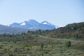
As I approached the top of the slope the wind started to come back, but only a little, and the peaks of Áhkká rose above the horizon. I did not intend to go all the way down to Ritsem this day, but rather remain in the wild (for certain values thereof), so when I passed the first and largest of Rijtsemjávrátja I started looking around for the old trail which the map had breaking off between the smaller tarns and pools of the northwestern side of the road, hoping to find a good campsite off to the side there. I caught sight of a couple of large cairns a short distance away, and started following them; the route they traced was clear, even though the path had obviously been in disuse for some time.
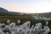
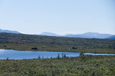
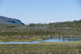
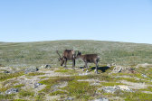
I passed through a number of smaller thickets and wet patches, often in combination, and between the water bodies there were grassy connections which however posed no particular problems. It was now almost still and very warm, and ahead of me were a few reindeer. Having cleared the wetness I followed the cairns and mostly faint path across ground that was very bumpy; as a consequence there wasn't much in the way of tent-friendly spots here, and I only found a couple of maybes at first. At the far end of the next tarn there were some low hills, and one of these had a flat top which looked somewhat promising, so I decided to try it out around 14:45.
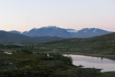
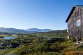
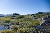
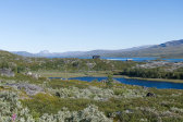
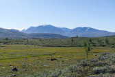
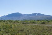
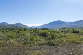
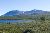
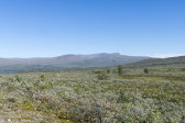
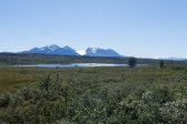
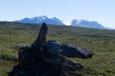
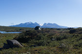
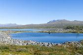
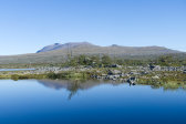
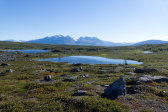
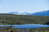
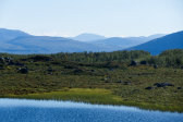
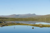
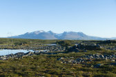
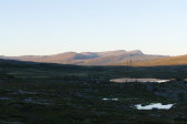
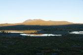
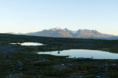
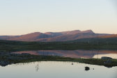
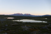
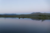
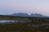
As it turned out it just worked – if the spot on day 2 had been tight, this was surgical; especially due to the fact that there were a couple of larger rocks which couldn't be moved. Luckily enough what wind there was was perfectly aligned with the only orientation of the tent thus allowed, and the end result was quite acceptable, even though it involved a bit of a slope inside (again perfectly aligned). The vantage point just beside and above the rocky tarns with Áhkká and its neighbors rearing their crowns in the distance, and Gállaktjåhkkå and Suorggečorru et al closer by, was a very pretty one, but it was a bit of a shame that two power lines bisected the scene.
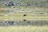
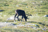
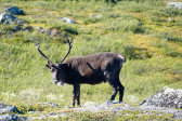
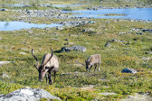
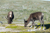
I went down to the water to have a wash and then sat down on the tent-adjacent rock, observing a bold reindeer that passed by at close distance. I walked up onto a higher hill nearby, from which the view was grand indeed, and I had some more near-reindeer experiences while sitting on another rock there. Back at the tent I prepared dinner and ate out on the tent rock, seeing no movement now that the reindeer had moved on. Crosswords followed, during which I noted several passages of geese overhead, and then I returned to the rock with my book; the temperature was a bit cooler now, but it was still very summery. When the sun finally passed behind Stuor Sievgok I went back inside the tent.
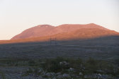
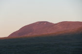
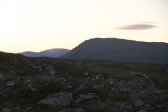
I read some more and then went out for another hill climb to photograph the pretty evening light playing across the peaks. I returned to the tent rock for my evening snack, and then went up onto the hill a third time, as the light was peaking, so to speak. I ate some cloudberries on my way back after the light had faded, and sat down on the rock again in the still evening. Tranquility was the word, especially since the wind had died down completely. I turned in around 21:45, listening to the calls of a loon that had landed on the closest tarn.
