Friday 19/8

Sievgoktjavelk – Gálavárddo
| Horizontal distance: | 17 km |
| Vertical distance: | +40 m, -170 m, +80 m, -80 m, +260 m, -150 m, +120 m, -90 m |
| Time: | 7 h |
| Lunch break: | 30 min |
| Dinner: | Couscous with mushroom soup and dried sausages |
| Night accommodation: | Tent |
| Stage classification: | Medium |
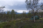
It was a fairly windy night of the gusty kind, and in the early morning raindrops started being carried in the moving air on and off. I arose at 7 at which time the sky was entirely covered by clouds that were low enough to hide the summits otherwise in view, but off to the east things looked lighter – and of course I was headed west...
I carried out breakfast procedures inside the tent in a leisurely manner, and then started packing up while the frequency of the drops increased. It was, however, quite light as I struck the tent, but I still changed into the rain jacket as things were not really looking up. I spotted the other guy in among the trees, and as I was finishing up he walked over munching on his own breakfast; we were both trying for that bridge today, and he said he would be about half an hour behind me in case either of us would turn out to need assistance once there. Having this settled, I left before 09:45.
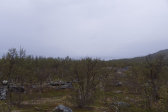
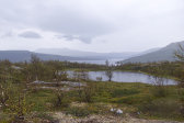
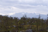
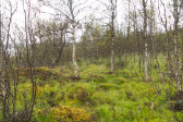
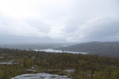
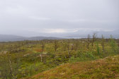
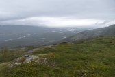
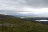
At first I tread gingerly over moss-clad rock faces which soon gave way to cloudberry mires, and there were quite a few quite wet areas. A light rain was falling, but visibility was fairly good, with even Áhkká behind standing out through the haze. As I passed some pools I misstepped and almost hurt my ankle, but after resting a short bit I could press on normally. A series of rises/summits making up Sievgoktjavelk followed, and once again I thought my progress slow.
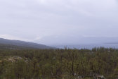
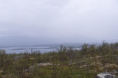
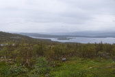
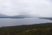
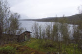
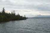
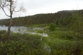
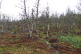
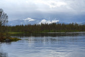
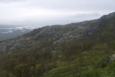
The trail then took a sudden turn down through the forest, where the vegatation was denser but still not very leafy, and then passed right by a cabin by the shore. Next up was a portion where it ran right along said shore, or would normally have done so, for with the high water levels in Áhkájávrre/Ruotjajávrre what lay in front of me at the moment was a bay of drowned bushes. This necessitated a circumvention through a high osier thicket with a very watery basis; my trouser legs got soaked, but the boots still held. Waves were rolling in in the fairly strong wind, causing quite the sound, but once I got back to the trail it started climbing Ubmasvárásj and left the lake behind again.
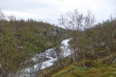
The first bit consisted of moss in more of that sickly-looking forest as at the start, and then the trail went straight over several summits once again, where the rain intensified and the wind had a greater say. Soon I could hear the rapids in Ubmasjåhkå and presently I caught sight of the stream as well. When the bridge came into view I didn't think it looked particularly afflicted; it hung fairly low over the surface and had a considerable slant, sure, but... However, when I got closer I realized that the far landing was actually in the stream – the water was high enough that the far shore was no longer a shore, but rather the new bottom.
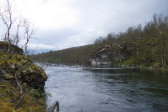
I carefully crossed to the other side, as the wooden planks making up the bridge were both slanting sideways and creaking, and inspected the obstacle up close. Judging from a submerged fully green shrub the water was at least two meters higher than at the start of the vegetation season, and the newly formed part of the stream was about 1–1.5 m deep, but also entirely calm in stark contrast to the strong current under the bridge proper. The carrying wires, arranged in two pairs, extended into a cliff 3–4 meters further ahead, and there were also guide wires hanging above them, so it was certainly possible to get to the other side, but also somewhat scary/precarious. I tried out a few methods just to get a feel for it, but ultimately returned across the bridge to have a more restful lunch and consider what to do around 12:45.
I went down to the outflow a short distance away and ate standing; the rain had stopped and visibility was unhampered, but everything around was quite wet. As I stood there I noted a number of fish breaking the surface nearby, so my fishing comrade would probably have a good time here later, unlikely as he was to make the crossing as he had to be certain that he could get back on his own without problems. Myself, I was leaning heavily towards turning back as well – disappointing as that was – seeing as how I had no way of knowing the state of my continued route and therefore also my return.
However, as I stood there I heard the sound of an engine – something I imagined I had heard when going over Ubmasvárásj – which quickly resolved into a boat rushing across the water from the cabin on the southern side of the lake. It contained two fishermen who offered to give me a lift across – apparently they had performed the same service the day before – and after considering this for a bit while they fished in the bay I decided to accept their offer, especially since they said that it was only here around the reservoir that water levels were as high as this. Instead of just depositing me on the western side of the stream they drove me to the wind shelter at the actual western end of the reservoir, where one also lands when ordering boat transfer from Ritsem in order to skip the first bit of the trail, saving me about a kilometer's hiking. Thanks, guys!
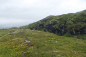
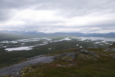
The trail rose somewhat steeply up out of the forest, above which mires made it hard to make it out, so I had to keep an eye on the cairns. It was now raining more again and I was starting to perceive a feeling of moisture in the boots, so I did my best to avoid the wettest parts of the ground and vegetation. Despite my cairn watch I lost the trail again up among the subsequent hills, having to backtrack a bit lest I end up in a ravine heading downwards again. Both the rain and the wind were increasing, and now only vague shapes were visible in the distance through the haze. After crossing Vakkatjavelk the trail did head down for real beside a very green crevice, which it then crossed where it grew more shallow.
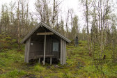
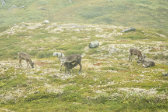
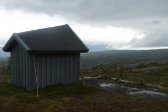
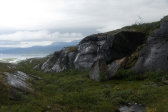
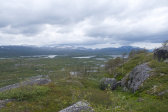
There was a group of reindeer up on the next shelf beneath a line of cliffs, and as I started descending again I felt the presence of actual water in my right boot. The rain was abating, however, although clouds lay low on the other side of the valley below. I finally caught sight of the next wind shelter, Gálavárddo, but getting down to it involved another section of lost trail and some careful negotiation of wet and slippery slopes with lush vegatation. There were quite a few footprints around the buildings, but no humans (or other life). I paused for a short while and had some chocolate before pressing on, aiming for the tarn beside the trail some 3 km off.
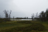
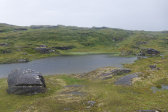
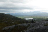
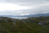
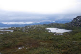
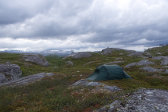
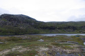
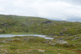
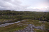
The trail ascended for a bit up onto a new shelf, and now the clouds were actually breaking up in a few places, with some glimpses of the sun down in the valley. Some more trail-spotting followed as the mild ascent continued, and once it flattened out I could see the tarn. The following descent was straightforward, and once at the water I started looking for campsites. This was not that easy, however, for the terrain was very uneven and/or wet, with quite a few surface rock faces; the wind was also quite strong, so I needed to be sure that I could anchor the tent properly. I went back and forth between the ends several times, eventually deciding to try out something that looked like an old campsite where I was unsure about the depth of the soil layer at 16:45. This turned out better than expected, but the tent just barely fit the available space given the orientation mandated by the wind.
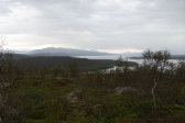
I immediately set about preparing dinner in the vestibule's opening and then ate outside sheltered by the tent, while some blue sky appeared above. After having a quick wash I went up onto the nearby rise to get a better look at the surroundings, as the view from down by the tarn was limited. I then spent some quiet time inside while the wind shifted rather much, but never abating fully. There were some reindeer at the northern end of the tarn, and above that a circling bird of prey, and then I also spotted a human atop the crest along the continuation of the trail, soon followed by his companion.
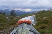
I met them outside just as I was going out to pick cloudberries; they were a German couple who said they had been searching for a campsite for an hour already and were stressed out about finding one before it got too late in the day, so our chat was a brief one. I continued picking, amassing quite a catch, but I also had to wave off quite a few mosquitos. I soon found myself up on a higher rise from where I had full visibility westwards, and then returned inside to read. After my evening snack I went back among the rises to catch the light of the sunset, which reflected beautifully in the many surfaces of Sårgåjávrre. The wind had died down during the evening, but as I was going to bed at 22 it started up again, and the clouds pulled shut once more.
