Sunday 21/8

RÝysvatn – Noajdeluokta
| Horizontal distance: | 16.5 km |
| Vertical distance: | +30 m, -200 m, +110 m, -70 m |
| Time: | 6 h 30 min |
| Lunch break: | 30 min |
| Dinner: | Mashed potatoes with dried sausages |
| Night accommodation: | Tent |
| Stage classification: | Easy/medium |
| Map point: | RÝysvatn |
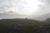
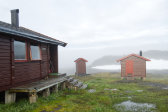
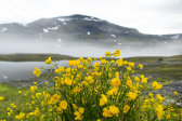
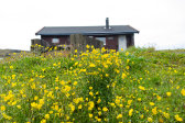
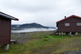
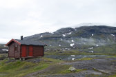
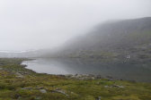
I slept well apart from waking periods due to (others') snoring, and got up at 07:15. It was still foggy all around, but it seemed to be on the verge of lifting/dissipating, with some weak sunlight getting through. It was also entirely still, and the rain was definitively over. All the ones who had been present when I arrived had already left, while the rest of us had breakfast in the still (or, rather, once again) very warm common room, since the drying was still going on. As we were packing up visibility slowly but steadily improved, to the point that the MuvrrajŠvrre wind shelter on the southern side of the lake by the same name could be seen. I left in light attire at 09:15, not too long after the Dutch girl.
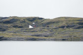
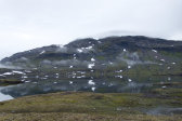
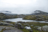
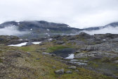
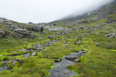
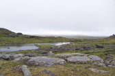
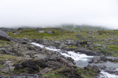
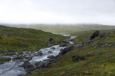
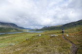
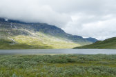
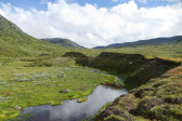
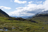
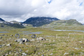
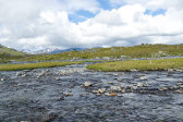
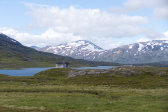
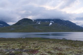
The air was fresh as I started to ascend a bit along the trail, the marking cairns of which often had to be carefully located among all the hills and rock faces making up the terrain around the border. After passing the highest point I carefully made my way down a slippery section to a snowfield, shortly after which I caught up with the Dutchie, whom I had seen ahead of me almost since the start. From there on we walked together, taking turns leading and cairn spotting, while the clouds made for a very interesting scene in the somewhat steep vale of SvŠrtijŠvrre.
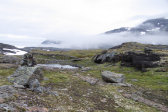
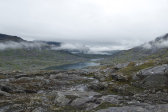
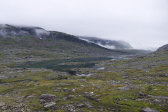
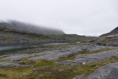
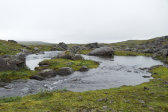
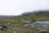
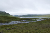
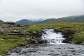
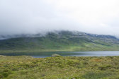
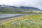
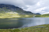
Then a haze of rain approached from the east, so we stopped to put jackets on, but it was only light and did not really speak of a return to the miserable weather of the evening before; indeed, what rain there was came in a series of showers with limited contents. We spoke on and off as we walked, at times ending up on a slightly wrong course, but the valley made the overall direction clear. Said valley was oftentimes shrouded in mist, lending an ethereal feel to the surroundings, while conditions looked "better" in the larger basin of SkuogejŠvrre further ahead.
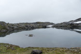
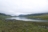
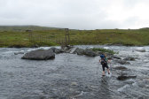
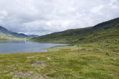
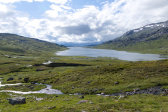
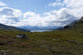
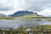
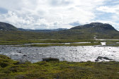
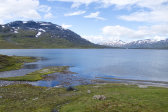
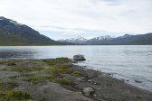
The slope leading down there after we had rounded SvŠrtitjŚhkkŚ offered better ground, and now there was even a path – or several. Glimpses of sunlight could be seen on the slopes ahead, and since the showers had stopped I eventually took the jacket off again; my companion had already done so. The upper bridge over SvŠrtijŚhkŚ also turned out to be too short, but whether this was the result of overflowing or an intentional design decision was not immediately obvious. In any case this necessitated an actual ford to reach the hither landing, which was uncomplicated. Once on the other side we decided to walk a little bit further before pausing for lunch in order to get a better view over the lake. Here the ground was nice and the path clear, so we soon arrived at a large trail-side rock to sit on overlooking a beautiful bay at 12:15.
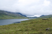
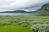
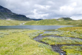
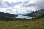
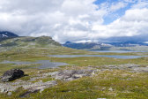
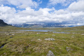
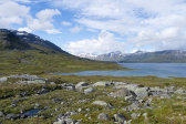
Now the sun was coming out every now and then, and it was quite warm. A single hiker was walking the trail down towards the bridge, which was surely the German woman since she would also be heading in this direction, but there was no other movement. The continuation of the northbound trail was similarly pleasant, with large expanses of grass, which made for a good tempo, and we continued to take turns leading. All along the shore were strips of sand beaches, adjacent to which were fantastic campsites, and the whole scene was a very welcoming one. In crossing an area of low osier thickets we lost the path, only regaining it on the other side as the trail started curving around a steeper section.
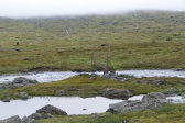
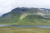
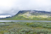
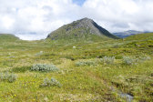
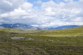
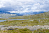
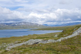
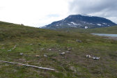
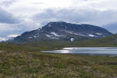
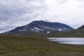
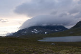
The nearby peaks, which were rather green in hue, were still piercing the remaining clouds. After we had passed the stream south of SpadnetjŚhkŚtja, which was simple enough where it spread out in several osier-laden courses, my companion wanted to take a longer break and walk on herself for a bit, so I went on by myself. Almost immediately I lost the trail/path again after a sharp drop leading down to a wet area, so I made my own way up the slope to the little pass above. A line of poles for a reindeer fence came up through said pass from the outflow of the stream below, but the mesh was lying flat against the ground next to them, so crossing was no issue.
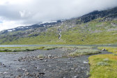
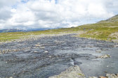
I got back to the cairns close to the highest point, while the sun had taken to hiding behind clouds, and a wind had picked up. The trail crossed the fence poles several more times before it started descending, and all the while the views ahead grew, over both lakes and peaks. Eventually it neared MŠrggojŚhkŚ, which was a fairly large stream, and I could see a couple of people just finishing a ford further ahead. When I reached it I easily negotiated the first course, which was followed by an old alluvial cone, but upon reaching the next one I immediately saw that it would require a change of footwear. I plotted what looked like a good route and set off into the water; it wasn't too deep or cold, and even though the last bit was swifter my heading proved to be a good one, and I reached the northern shore easily enough.
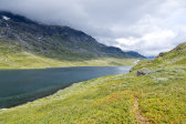
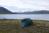
As I was putting the boots back on the Dutch girl caught up with me, splashing across in her trail shoes, and we restarted our joint cairn spotting. This proved problematic, however, and we were over the crest overlooking GŚbddŚjŠvrre before we could see the actual continuation of the trail towards Pauro down at Noajdeluokta. At this point we said our second goodbye of the day, as I had resolved not to go to Pauro this time, but rather seek a campsite down by the lake. I made for the reindeer-watching hut a short distance further down, and then aimed for a strip of beach across a shallow brook. There was a maybe-spot there, and another on the western side of the brook, but I thought they were both a bit too close to the water for comfort, so I ended up choosing an area atop the adjacent little plateau at 15:45, where the ground consisted of mossy dirt.
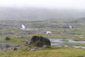
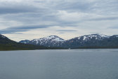
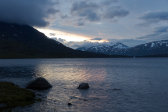
The wind was tricky to judge as it kept shifting in direction, but I did my best when pitching the tent. The sun was mostly hidden by a large bank of cloud, but it was still quite warm. I went down to the beach to have a wash, and then spent some time inside the tent while fairly strong gusts shook the fabric. I prepared dinner inside and then went out to eat, sitting on the edge of the plateau looking out over a weak glint on the lake. All the peaks were now fully visible, along with several glaciers of varying size, and a flock of seagulls had taken up residence at the shore below.
I read inside the tent while the gusts continued; over time they increased in power, and were now also hitting the tent at an angle, but not so much that I deemed a rotation necessary. Clouds were forming around the western peaks, and it was getting cooler. Later on the sky was growing clearer but the peak-clouds both remained and grew. After my evening snack a pretty evening light appeared across the lake, but it quickly waned. I secured the tent further against the wind; it was still a bit off the desired direction on average, but it also kept shifting around all the time. It was almost 22 when I went to bed, keeping the sleeping bag partially open as usual.
