Wednesday 7/7

CunojŠvrihytta
| Horizontal distance: | 13.5 km |
| Vertical distance: | (negligible) |
| Time: | 5 h 15 min |
| Lunch break: | 2 h |
| Dinner: | – |
| Night accommodation: | – |
| Stage classification: | Easy |
| Map point: | CunojŠvrihytta |
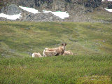
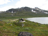
I started walking upon the trail to Norway in weak sunlight that soon turned to shadow. The ground was a bit wet at first, but then it turned to dry heathland. A herd of reindeer with quite a few calves was loitering ahead, and I carefully made my way past/through it. I took a side path leading over to border cairn 263, getting a close look at it; with my binoculars I could see the previous one to the south (262B), but the northern neighbor (263A) was not in sight.
I took another path down, coming out onto an alluvial cone consisting of flat and open but rather stony ground. Upon closer investigation I found several possible campsites, as well as a perfect little "shelf" of grass close to an arm of RŠdjejohka. There were several blind paths that ended either in the water or in the high osier, so I followed a lower one which took me south of some hills, and I landed on the actual trail again just as it passed into more bushes. I then emerged at the sandy beach of ČunojŠvri, beside which there were nice (but mosquito-rich) grass patches.
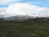
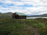
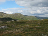
The trail then went on past a little cabin, passing over some red-tinted brooks close to their outflows. The terrain was a bit uneven or wet at times, and the wind was chilly; ahead the peaks of Storsteinsfjell were in the process of being hidden in cloud. I had not looked at the map for a while, but I thought that I was closer than expected to the lake, and when I suddenly spotted CunojŠvrihytta but a few hundred meters away I knew that something was off.
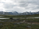
The trail on the map clearly described an arc landing at a bridge over Sealggajohka a kilometer or so north of the cottages, but I now found myself at a ford of the same stream. This ford looked easy enough, but it was deeper than my boots, so I followed Sealggajohka upstream, looking for other spots. None presented themselves, and eventually I came onto another path marked by a few cairns leading up to the bridge over a large flat and open area. This bridge was of curious construction, being high and somewhat rickety, and I was glad that I did not have a full pack on me. The remaining portion was easy but muddy, and I made good speed, reaching the cottages shortly after noon.
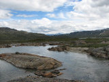
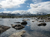
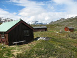
I relieved myself of my li'l rucksack and walked around the premises, which seemed empty at the moment. There was a warden's cottage which looked very recent, and in the middle of everything stood a pump with an optional shower connection – but no booth like Unna Allakas has. I had my lunch against the wall of the larger guest cottage, and then used my DNT key to gain access; it was as homely as the Norwegian places typically are, and I made an entry in the guestbook. Outside the sun had returned, but a few drops came in the wind from a light haze that was passing before ČŠihnavŠggi. I checked out the smaller cottage and the storage building, and then the weather started improving for real. I walked around some more, finding the boat that belongs to the site, and then followed the shore. I sat down on a rock out in the water as the clouds broke apart, and everything was just splendid. After another walk the clouds grew more numerous again, and I prepared to leave.
Just before NuorjjovŠrri was hidden behind Ńkšu I saw another light haze making its way in front of it, so I hoped that it would remain thereabouts. After the bridge I followed the path that led off eastwards, wanting to see whether I had missed a trail branch somewhere earlier, but it soon became faint, and when I reached a rather large wet area it disappeared entirely. Rather than attempting to cross this or walking above it I made my way towards ČunojŠvri beside it, and then made a quick crossing at a more narrow place, which went well. This brought me back to the trail, which obviously was the trail, but as I passed an isolated bay I broke off again. I walked across heath and low shrubs, finding no footpath, but after crossing two arms of a brook I came onto a reindeer path which continued above the cabin – called Knertebu according to the sign on the door.
I continued above the trail in this fashion for a short bit, but the thickets and the bumpiness made me return to the main path. Here there were mosquitos in hordes, and I had to apply repellant for the first time, which alleviated the situation. Behind me the clouds were spreading more and more, but it was still warm. I followed the trail past the border cairn, passing a smaller herd of reindeer, and then broke away upwards when I was nearing home; I had seen some strange poles tracing a line and wanted to see what they were. I found some remnants of a path as well as mining, but it was mostly shrubby at a low level, so I made my own way, coming back beside the shower booth at 15:30.
« Return to Unna Allakas report

