Sunday 20/8
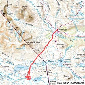
Steinhytta
| Horizontal distance: | 21 km |
| Vertical distance: | +160 m, -150 m, +150 m, -160 m |
| Time: | 5 h 45 min |
| Lunch break: | 1 h |
| Dinner: | – |
| Night accommodation: | – |
| Stage classification: | Easy/Medium (comment)
'Twas a long one.
|
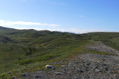
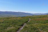
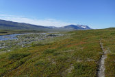
I walked the trail to the bridge in a cool wind, noting a small herd of reindeer loitering nearby. There was a tent a short bit upstream on the other side, and as I passed I saw two people sitting outside. The path was hard-packed dirt with low shrubs on the sides, and going was easy until it started to climb the closest of a series of gravel ridges, atop which it joined an ATV track. Shortly thereafter it left the ridge again and returned down, and now the ground was bumpier and not as dry.
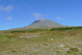
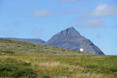
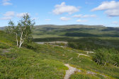
As I gained altitude it dried out again, however, and turned to heathland. I passed a winding brook for the second time, and by now I could see the Norwegian woman a ways ahead. A grassy portion followed, after which it was back to heath as I neared the top of the slope – or at least the tangent which the trail traced, since the slope per se was the entire southern rise of JuoksavŠtnjunni. The Norwegian had stopped for a breather there, and I talked some with her before pressing on ahead.
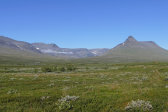
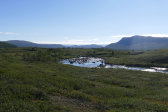
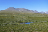
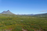
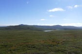
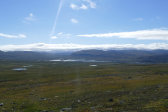
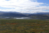
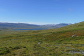
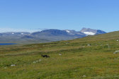
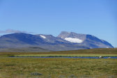
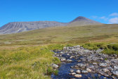
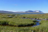
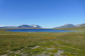
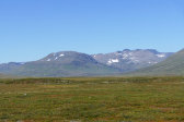
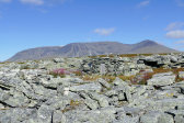
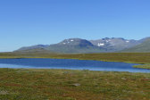
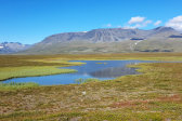
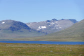
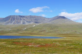
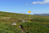
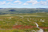
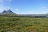
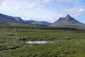
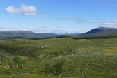
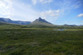
It was entirely clear and rather warm, and in front of me now lay a plateau riddled with small lakes. Up on the level section the ground was all grass, but as the terrain started slanting downwards the heath returned once more. I passed the Norwegian border, which was marked by a simple signpost, and made good progress in the pleasant surroundings, with peaks emerging from hidden angles all around. I crossed a stony stream with ease and then came upon first dirt and then wet ground before reaching the dual inflow to MoskŠnjŠvri, which I also crossed with the help of rocks.
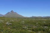
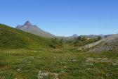
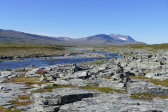
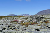
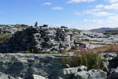
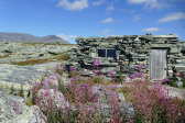
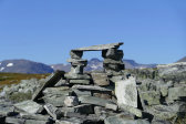
I saw two people sitting by the trail further ahead, but I soon turned off it and headed due south across the low outrunner from the nearby oversized hill. Here the ground was dry, level and very nice to walk on – at least for the most part – and I chose a heading which took me just past a small rise with cliff sections. A stonier portion past another smaller rise followed, but then it was back to perfect ground. As I neared Rostaelva I noted that the section above the bend was one of ravines, and I soon started seeing a multitude of large cairns. One of these rock mounds was, however, not a rock mound, but rather the stone hut (aptly named Steinhytta on some maps) which was my goal; it was quite well hidden in among all the other formations and flat rock faces. I angled around it at 11:45, coming up to it from the waterfront just as two people left along the path leading towards Rostahytta.
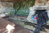
I looked inside, and apart from a perfectly serviceable shelter saw an abandoned mobile phone. There was a high probability that it belonged to one of the pair who had just left, so I brought it out – and saw that one of them was already heading back along the path. I waited for him outside and it was indeed his phone; he and his wife (both Norwegians) were staying in a tent some distance downstream and were out on a day tour to the stone hut, just like me. Having said goodbye I sat down on one of the many flat rocks lying around and had my lunch.
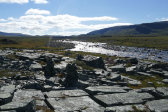
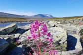
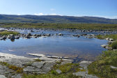
I remained seated for a good while, watching the sunlight glitter on the water, and then strolled around the immediate area. There were some perfectly OK campsites nearby, and just before the confluence of the stream from RiehttejŠvri with Rostaelva there was a rock lagoon of sorts which looked inviting for a quick dip. I did no such thing, however, and after inspecting the hut some more I finally left for the equally long trek back home.
I set out along the path the Norwegians had taken, and it wasn't a very large one. After a while I realized that this was not, in fact, the path that was marked on the map, so when I came to a couple of small tarns I broke off and headed for the MoskŠnjŠvri inflow again. I followed a gravel ridge at first and then crossed what probably was the map's path; it had marking cairns but was only partially extent as an actual path, so I just kept my heading. More clouds were appearing in the sky, one of which positioned itself atop JuoksavŠtnjunni as I came back to the trail, starting to feel a bit tired in my legs.
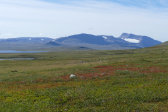
The ascent to the border was uneventful, and once back in Sweden I sat against a rock and had a short break. Ahead of me the clouds were casting spotty shadows on the plain, and I could see the cottages from quite a long distance. I observed two people making their way over there as I descended, and back down at the bridge the tent was still in place. One of the cottage people left towards the east as I covered the last bit and I saw no other movement, but I smelt wood smoke and just as I rounded the corner of the warden's cottage at 15:15 I discovered two fishing rods outside it.
« Return to Pšltsa report
