Friday 18/8
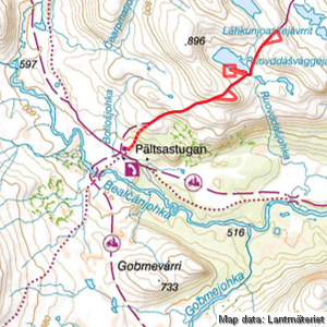
Ruovddášvággejávri
| Horizontal distance: | 10.5 km |
| Vertical distance: | +240 m, -70 m, +110 m, -110 m, +70 m, -240 m |
| Time: | 5 h |
| Lunch break: | 30 min |
| Dinner: | – |
| Night accommodation: | – |
| Stage classification: | Easy |
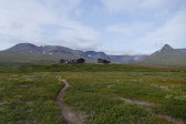
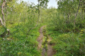
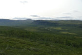
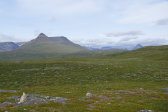
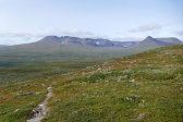
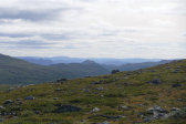
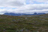
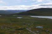
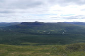
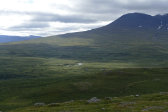
There was a shifting wind as I walked the well-trodden path towards the forest, traversing two wide and dry gulleys. The first bit up among the trees was rather steep, and the path was quite eroded. When I reached the top of the slope – and the end of the forest – the wind came back in force, but I was also rewarded with a beautiful view over the valley.
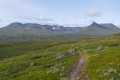
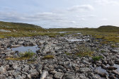
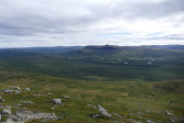
Next up was an extensive hollow which was partially wet, but no worries. On the far side the terrain rose markedly again, and the path turned stony interspersed with gravel which resulted in somewhat careful foot placement. I walked to the side of a brook the course of which had turned onto the path itself, and soon reached the flat crest of the long slope offering an even grander view.
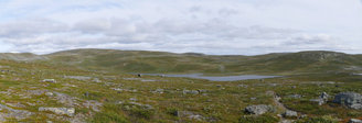
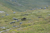
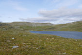
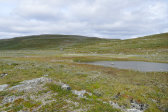
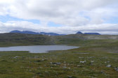
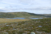
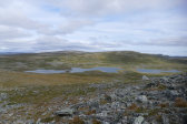
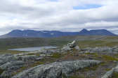
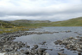
On the way down the other side a couple of reindeer passed by in front of me as I aimed for the outflow of Ruovddášvággejávri, while the strong wind had quite a chilling effect. Once at the water I followed the shore northwestwards, where the ground was quite uneven with rock-bound tufty grass, and then started fishing, immediately putting the jacket on against the wind.
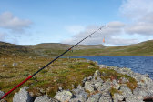
This was somewhat tricky given said wind, but it was not howling at the same strength all the time, so I tried to time my casts to calmer moments. I continued further along the shore, finding deeper waters better suited for my limited reach, but the fish (if there were any) were not having any of it. I spotted a single hiker coming down the trail in the next slope, and at noon I sat down in the shelter of a larger rock to eat, during which another two hikers approached from the other direction.
I then fished some more, keeping the down jacket I had put on, even though the air felt somewhat warmer; my bare hands had grown rather cold in the wind before, but it was better now. I saw no point in keeping it up for too long given the conditions, and when the sun passed into new clouds rolling in from the northwest I packed up and returned to the trail, now in just the wind jacket.
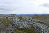
The outflow was easily passed on rocks, wide and shallow as it was, after which followed a muddy section where rocks and tufts also helped. I held a high tempo up the slope, and now the wind was noticeably lessened. This time the crest was further off than it had seemed at first (not an uncommon occurrence, that), but I reckoned that I had time to reach the next vantage point before heading back. Once there I didn't see quite as far as I had expected, so I sprinted up onto the nearby rocky summit as well.
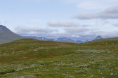
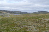
From there the view was wider, but Finland was still hidden by the rolling heights of Duoibal. I went down in the general direction of the previous lake, walking across nice dry heath until I reached the trail. Again the wind grew as I approached the lake – figures – and then I took an alternative, somewhat wetter path to the outflow which passed by a couple of campsites.
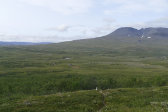
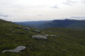
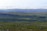
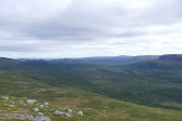
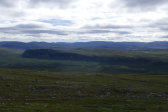
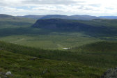
Once atop the next rise I turned off the path again and headed out to the edge of the elongated flat summit – and I'm glad I did, for the view that opened up over the valley below was stunning. It was all in shadow at first, but as I stood there the sun broke through in places, and the scene was totally worth the whole outing.
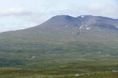
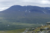
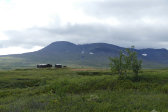
Going down felt a bit burdensome in the knees – a really long slope, that – but at least there was less wind again. The clouds were more extensive, however, and the highest peaks in the massif were in the process of being hidden by them. In my binoculars I could see some people sitting on the porch of the guest cottage, so I expected to find visitors once I got back myself. Going down through the steep forest was a careful affair, and then I sauntered across the plain to greet the new arrivals at 15:00.
« Return to Pältsa report
