Thursday 17/8
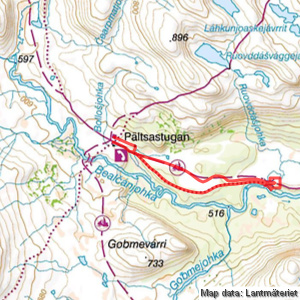
RuovddŠšjohka
| Horizontal distance: | 9 km |
| Vertical distance: | -80 m, +60 m, -40 m, +60 m |
| Time: | 3 h 45 min |
| Lunch break: | 45 min |
| Dinner: | – |
| Night accommodation: | – |
| Stage classification: | Easy/Medium (comment)
That thicket gulley wasn't too great...
|
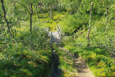
I walked along a small footpath following the winter trail markers, but before long it dwindled and low shrubs took over. A bit further down I came back to it – or at least to a path – which had cut deeply into the undergrowth in places, and was barely visible in others. This led me to a footbridge over a small but noisy stream from which a much clearer path led to the neighboring cabin I had looked upon from up the hill for many a day now.
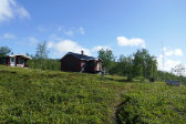
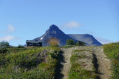
This cabin, which is very sturdy and larger than it looks at first glance, belongs to the Swedish military, and is sometimes called the "King's Cabin", presumably because said highness has visited it at least at some point. At the time it was thoroughly shut, though, as I ascertained while snoping around the premises. I did find a more suitable walking stick, however, so I exchanged that for one of those I had brought, and then went to see if I could get down to the trail in a direct fashion.
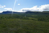
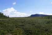
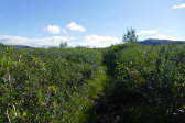
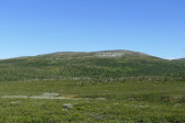
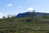
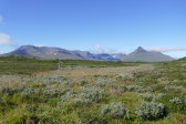
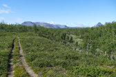
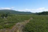
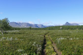
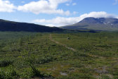
The first bit was sparse forest interspersed with rock faces, but suddenly I found myself on the crest of a veritable precipice with debris at the bottom, so I backtracked somewhat and managed to go around it without too much hassle. Another small path later I came to a low bridge on the winter trail, and kept to the markers from there where there was a much better path. I soon emerged onto the large open expanse clearly visible from higher up, and although the ground was dry at first I then came to a wet area which was however easily negotiated. After passing through a trench of sorts through a high osier thicket I came out onto nice heathland and progress was easy.
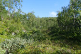
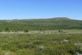
Around there I found a better walking stick again in the form of one of a multitude of temporary trail markers put out in winter – many of the permanent ones were in bad shape, fallen, or missing altogether – and did another exchange, this time fixing the shorter hooked one onto the rucksack. A bit further ahead I went up onto a low rise and then returned to the crosses in a nice grassy hollow. Said hollow soon morphed into a jumble of shrubs, tufts, gulleys and holes, and going was somewhat tough. After a bend the hollow turned into an actual ravine with even more thickets, and since this state of affairs appeared to continue onward I felt I had had enough and instead climbed out of it onto the southern rise.
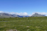
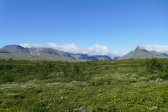
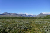
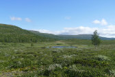
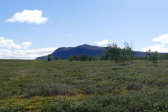
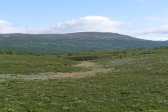
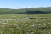
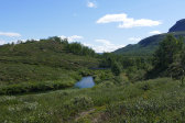
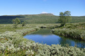
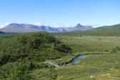
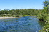
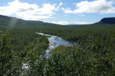
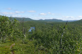
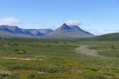
There I found the ATV track, so going was once again easy. Before long I came to the edge of the forest band I was currently in, and came out onto another large plain. Some distance ahead I neared the highly convoluted course of RuovddŠšjohka, meandearing lazily across the flatland in quite a picturesque manner, which was spanned by another bridge. Here I refilled my flask and then walked up onto the start of the marked rise on the other side, where I sat down for lunch at noon.
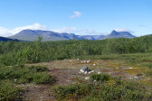
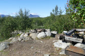
A surprisingly cold and strong wind was blowing, so I put the down jacket on. Having eaten I remained seated on a rock for some time, looking at the steadily shrinking clouds. I also spotted what looked like a well-utilized campsite out by BealčŠnjohka, and decided to check it out. After crossing the bridge again I followed a path in among the trees on the western side, and took the eastward one after a split, passing a sheltered spot before coming out onto a large plateau where there was indeed a sizeable patch devoid of shrubs that bore clear traces of repeated camps. Just below it was a fireplace with some left-behind fishing gear and the like, and a path leading down to the stream. Nice!
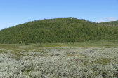
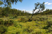
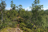
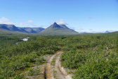
I then took a larger path back into the woods, this time selecting the other direction which led up onto the tree-covered continuation of the rise on this side of RuovddŠšjohka. Since the path continued up there I saw no reason not to keep following it, and it was a pleasant walk. I saw the stream between the trees at first, but after a while the distance grew. Suddenly the sole on one of the boots came loose entirely at the front, so I had to stop to apply tape. This worked out well, however, so no immediate worries (but plenty of longer-term ones).
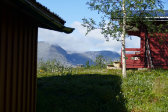
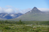
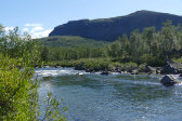
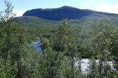
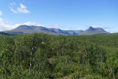
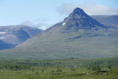
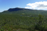
When the trees ended the path rejoined the ATV track, and so did I. From this point I had a clear view of the cottages, but saw no movement. BealčŠnjohka was also back in sight, and gave an attractive impression. At the crest overlooking the slope down to the vale beneath the military cabin I went out onto a gravel patch for a better view of the waterfall, the whole scene of which with the massif looming behind was very impressive from this direction, and I made a mental note to return here when autumn had fallen.
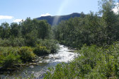
The tracks were rather deep in the soft soil as I went down, and after a couple of small bridges at the bottom I noted a very pretty mossy brook splashing down – the same one I had crossed earlier in the day near the cabin. It was still here sheltered from the wind and therefore rather warm, but the air motion grew substantially once I had climbed up the somewhat steep slope beside Bollošjohka, returning to an empty site at 14:15.
« Return to Pšltsa report
