Friday 29/6
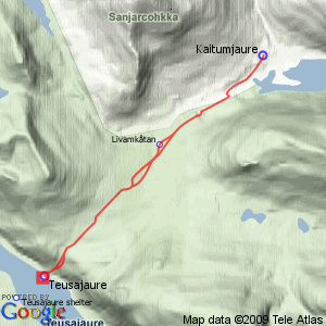
Teusajaure
| Horizontal distance: | 18 km |
| Vertical distance: | +180 m, -280 m, +280 m, -180 m |
| Time: | 6 h |
| Lunch break: | 1 h 45 min |
| Dinner: | – |
| Night accommodation: | – |
| Stage classification: | Easy |
| Map points: | Livamkĺtan, Teusajaure |
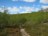
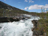
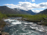
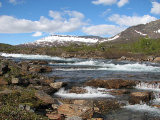
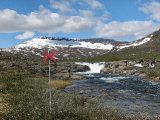
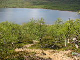
Down in the forest it was nice and calm, but also somewhat stony; the latter got better as the trees started thinning out. After passing a swift Gáidumjohka, noting some good campsites, it was considerably worse, however – here the trail follows a reindeer fence for some distance, and the ground is very stony all the way. The stream held a series of pretty falls of varying size upstream, but after crossing the fence by way of a "crawl-through" gate the trail started increasing its distance to it. It was still stony, but it soon got better, and after another bout of rocks just at the start of the slope up onto the Muorki plateau it was fine. It was growing cloudier behind me, and there was more wind again, but no worries. There was a nice campsite at a stream passage, and turning around I saw that I had passed the hut I had visited in winter, since the summer and winter trails are separate in this precise area, and the old construct lies along the latter.
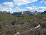
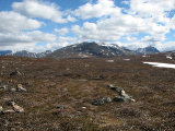
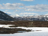
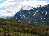
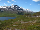
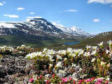
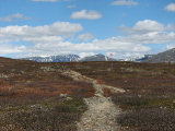
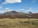
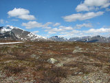
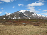
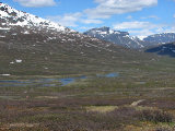
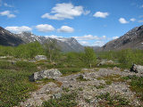
The rest of the slope was nice and all, and once it started levelling out I left the trail and walked on the right-hand side, where the ground consisted of pleasant heath and lichens. The sun was now passing in and out of light clouds, and more were hanging off to the east. Ahead of me Sarek reared its crowns above the next plateau, although the extent of the line was more limited than what I had seen from Leaibečeabetčohkka. The low shrubs were mostly bare here, despite the verdure of the valley, due to the altitude and recent disappearance of snow. There were a couple of brooks feeding a couple of tarns, by which I returned to the trail. There it was stony, however, soon I soon left it again, not going back until the ground started getting bumpier as it slowly slanted downwards.
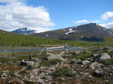
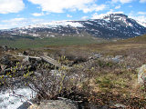
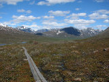
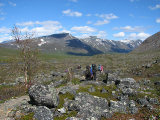
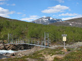
Further ahead I saw a large group having a break, and I assumed this to be the guided STF one I knew was on the way. Since this was very close to Teusajaure they had obviously had a late start, and not rushed things so far. At the next stream the little footbridge was cracked in the middle and made a passable imitation of the letter V, but the point rested securely on the bottom so it was still usable as a bridge. Some members of the group were moving on, and I walked over to the remaining ones.
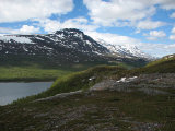
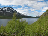
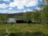
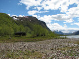
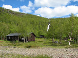
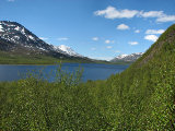
As expected this was indeed STF, and after a bit of presentation and talking it dawned upon one of the guides that we had met in Abiskojaure when I was walking out to Unna Allakas two years before – I had recognized her too, but could not quite place her. The outlook over the valley was beautiful to say the least, and I did my best to achieve the best photo angles possible. The final slope down to the cottages is infamous for being steep – which it is, and the descent really made itself known in my knees even though I was greatly helped by my walking stick. The vegetation at the bottom was much lusher than in "my" valley, among which the first building to be reached is the warden's cottage, and I reached it at 11:30.
The person outside it was only "an assistant", however – the actual warden was busy working at the moment. There were some other people about, and it took me a while to realize that two of them were a couple of Germans who had passed by Kaitumjaure a few days before; they had much more clothes on then, so the shift in the weather was rather noticeable. I walked around looking about – this was my first visit to the place in summer, so I wanted to see how it compared to my winter visits. The wind was at it down here as well, but in among the trees it was sheltered.
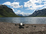
Eventually I sat down at a small bench out on a gravel bank by the water and started lunch. Just as I was done Peter, the warden, was also finished with his tasks, so he sought me out to talk. This went on for quite some time, and continued over at the warden's cottage where his son was attempting to sort out a tangled fishing line. It was very warm and nice outside of the wind, and I strolled about some more before finally thinking about commencing my return journey, since I had a group to attend to back home.
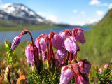
Going back up The Slope was a warm affair, especially since the weather had actually improved further, with less wind and clouds. The former was still a good companion above the forest, though, where I broke off on perfect heath for some photographing. Just then the Austrians were passing down over on the trail and we waved at each other, and after I had continued up a little ways the tenting ladies came down as well. Having attained a very good view of the valley I cut across the terrain back to the trail, reaching it just at the V-bridge, and followed it until the approximate place where I had come back to it before. There I walked off again, holding mostly the same course, but at the tarns I crossed the trail to check out some possible tenting spots by the water, finding them to be adequate. I continued on the eastern side of the trail, which was also good, but somewhat more uneven than the western side, and went back at the start of the slope.
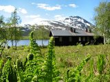
A short distance below the campsite stream I broke off again, following a faint old path leading to the hut. Reaching that involved crossing the aforementioned stream, which was rather easy, and I concluded that it was still in fairly good condition, even though southerly winds would probably make for drafty nights. I found another faint path that led off downwards, and after another simple ford it almost disappeared in the low vegetation, but the direction was clear, and it was well-trodden again right before it came back to the main trail. The greenery of the Kaitum valley was spreading out before me, and it was not long before I caught up with the group, passing them by at a stony section. I maintained a high tempo from there on, feeling rather warm in the last stretch of forest where the wind died down, and it was a burgeoning feeling of weariness in my legs that I walked up to the cottages just after 15:30.
« Return to Kaitumjaure report
