Monday 16/7
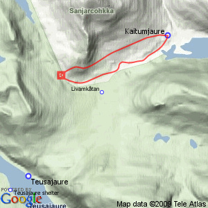
Gáidumjohka/Sáŋaroalgi
| Horizontal distance: | 11 km |
| Vertical distance: | +260 m, -260 m |
| Time: | 5 h 15 min |
| Lunch break: | 45 min |
| Dinner: | – |
| Night accommodation: | – |
| Stage classification: | Medium |
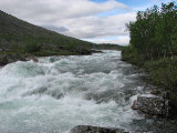
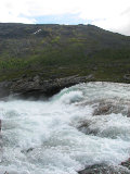
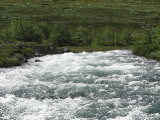
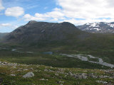
Both the sun and wind shifted in presence as I passed through the forest, and when I came to the Gáidumjohka bridge I went on on the northern side of the stream, immediately climbing a steep dirt hill where I found a campsite I hadn't seen before. From there it was bushes, trees and wetness for a bit, and then I reached a forest brook leading to a side channel of Gáidumjohka, and rather than continuing in the thick forest I forded this channel twice where it made turns. After that the land was more open, but there were still some thickets and brooks to get past. I climbed a rise where I was greeted by quite a bit of wind, and then followed it along its length before turning back down towards some interesting-looking falls in the main stream. This involved a bit more thickets and then a rocky hill at the end. The sun was good enough to show itself just as I stood there, but it soon disappeared into clouds again so I moved on.
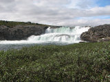
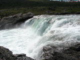
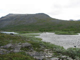
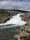
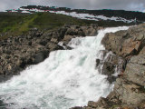
It was too bushy and wet close to the stream, so I increased my distance again, and after a band of trees with accompanying vegetation I came out onto an open area I had seen from the other side. It had looked virtually perfect for a large tent camp from there, but now that I found myself upon it it was fairly bumpy – there were some good patches for sure, but that's distance for you. I could now walk closer to the water again, and I went up right next to the following larger waterfall – and once again the sun came out just when it should. This is actually a split fall, but from this direction it is hard to notice that that is the case due to an obscuring hill; it shows better from the other side, or from the trail. Above it there were some grassy banks with bushes on them out in the stream, and having passed some of those I sat down in the shelter of a slanting rock face at 11:45 as the wind was pretty noticeable.
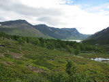
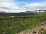
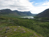
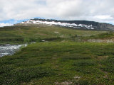
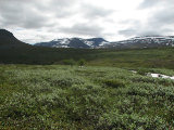
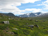
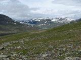
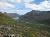
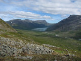
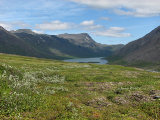
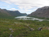
The sun came out more and more, bringing the temperature up, and I could change the fleece to the wind jacket. When I got going again I went up the slope at the foot of which I was standing, walking over and between a clustering of rocky hills with small pools in the hollows. I was afforded a short view of the upper valley before it disappeared from view, and the ground suddenly turned level. When I reached the crest the view in the other direction was mesmerizing, showing more of the lower valley together with Bajip Gáidumjávri than I had seen in such a combination before. I sat down against a rock to look at it for some time, which was just great, and then started down the steeper slope on the eastern side.
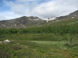
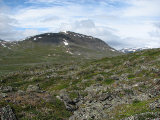
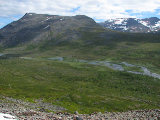
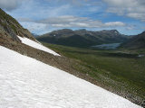
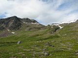
This looks like a precipice from further off, but descending was actually pretty easy. I opted to utilize a snowfield below a cliff face, after which I came down onto a large expanse of the area's trademark perfect heathland, and walking was great as usual – much better than down by the stream. I kept my altitude as much as I could, but the low shrubs somewhat soon started showing up again just the same, especially after the first few brooks. The mosquitos were also growing more numerous, and the bushes were growing higher as I drew nearer to home. Eventually I turned down, following the lay of the land into the forest, this time finding a good route that led me out onto the heath behind the sauna (which is where I had intended to go when I came down from Sáŋarčohkka), and walked round the corner of the service cottage at 14:45, where there were a number of people besides Hans.
« Return to Kaitumjaure report
