Wednesday 4/7
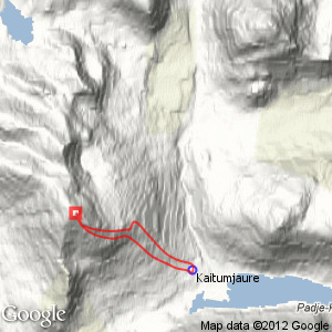
Sáŋarčohkka
| Horizontal distance: | 8 km |
| Vertical distance: | +980 m, -980 m |
| Time: | 5 h 15 min |
| Lunch break: | 2 h 15 min |
| Dinner: | – |
| Night accommodation: | – |
| Stage classification: | Medium |
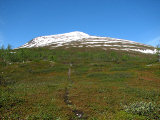
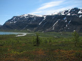
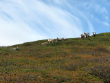
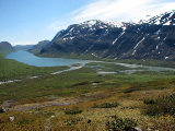
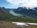
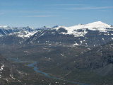
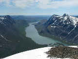
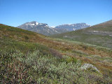
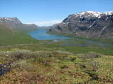
I walked the trail up to the Sáŋarčohkka path and turned off upon it. It was much less windy here, and the terrain was very pleasant to walk through and look at. I started out at a quick tempo but soon slowed down lest I overexert myself too soon. A small herd of reindeer moved out of the way above, and then the path started deteriorating as the sun was passing in and out of high strips of thin cloud. The view up Čeakčavággi was great as what remained of the path – not much, but the cairns continued – started angling northwestwards, and soon I walked off in a more southerly direction to another line of cairns.
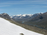
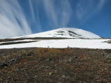
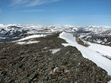
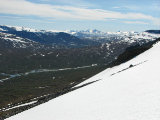
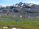
I was now well into the snowy parts of the ascent and had put on the sunglasses against the glare. After a short shelf the last, more pronounced slope up towards the summit started, and this was all snow. This snow carried perfectly, being just soft enough to grant me a good grip, while at the same time not letting me sink deep enough to hamper upward motion. There was now a bit of wind, which increased as I got higher, and blowing across the snow it picked up quite a bit of coldness. Higher up I saw the tracks of the people who had been up here a week earlier, but as these were rather close to the corniced edge I stayed clear of them and made my own way. The final bit consisted of sharp rocks not covered by snow, so I had to tread carefully, reaching the top cairn at the strike of noon.
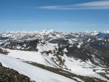
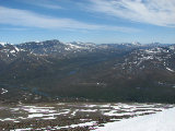
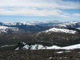
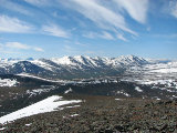
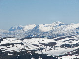
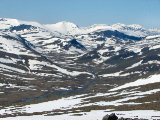
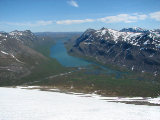
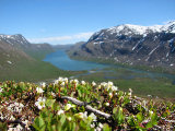
I put on both jackets I had with me as well as the gloves, as the wind was still cold, and looked out over the extremely expansive vista. Sáŋarčohkka's height is not to be sneered at as such, but its real value comes from its (moderate) isolation: most of the higher formations are far enough away not to obscure the view, and the result is stunning. At the moment there was also a very marked contrast: looking northwest I thought the view looked like it was April rather than July, whereas in the other direction things were summery enough. I walked around, going a little ways along the continuation of the ridge, and looked at as much as I could. Using my binoculars I saw people going in both directions on the Teusa trail, and also a few approaching from the north. The sun was now on its way out of the veils, and it was not long before it was clear again.
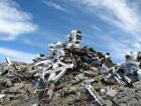
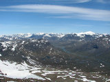
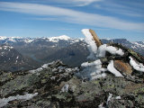
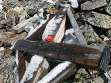
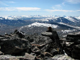
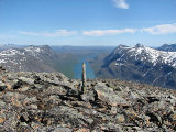
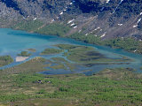
I had lunch in the protection of the top cairn, against which lay a formerly proudly hoisted cross bearing the (now faded) text "AD MAJOREM DEI GLORIAM", while looking out over the immensity of Sarek to the south. I sat still for a good while and then wrote in the summit book, which had a more prominent place here than on Leaibečeabetčohkka. I walked around some more, noting with interest that the northward view was actually more "wild" than I had previously given it credit for, and eventually turned my steps downwards.
I followed much the same route at first, but the snow was now noticeably softer than on the way up, and I soon found that the most efficient method of transportation was sliding through the topmost layer on one foot, while using the other to kick myself along, with the arms and stick providing balance (here is a video; 2M XviD). It was enormously fun, and rather quick, and at one point where the slant was steeper I tried an old-fashioned butt-slide as well. I was now aiming straight for the cottages, but when I reached an area of steeper rock fields I turned northeast for a while before continuing downwards. After crossing a bit of bare ground I traversed a large snowfield and then came down to wet grass just free of snow cover, which turned to heath a bit further down.
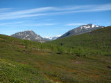
Now that I was below the snow the winds were warm again, and I removed both the jacket and the gloves. I continued downwards over a number of low rises, and the terrain here was exceedingly beautiful. Everything had budded and colors were aplenty, and off to the south the Sarekkian peaks shone in the sun. I took my time, giving much of it to the pretty flowers on the ground, and then walked atop a longer ridge that led straight down into the forest. This was dry and nice at first, but then it turned thick and wet, and I moved around with various headings before settling on one in the general direction of the cottages. I passed another dry area, scaring off a couple of the hares, and emerged on the wintertime connection route. I walked up to the buildings at 15:45, finding a number of people outside.
« Return to Kaitumjaure report
