Tuesday 27/7
Kraapa
| Horizontal distance: | 10 km |
| Vertical distance: | +200 m, -200 m |
| Time: | 4 h 45 min |
| Lunch break: | 1 h 30 min |
| Dinner: | – |
| Night accommodation: | – |
| Stage classification: | Easy |
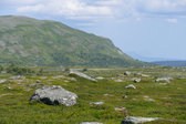
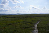
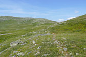
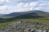
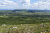
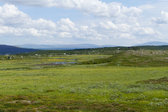
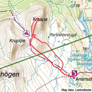
I started out at a quick pace along the trail, in a pleasant wind which cooled the otherwise warm day off. I passed some smaller mire patches, and around a sequence of small brooks there were good campsites. Lillån was somewhat larger, but still very easily crossed, after which the terrain started sloping upwards. The incline was not heavy, especially not with my light pack, and as I ascended the views over the plain behind me grew ever wider.
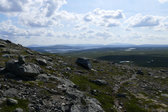
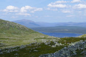
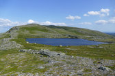
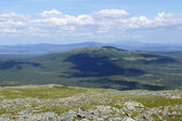
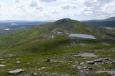
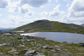
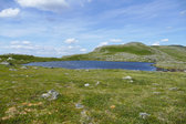
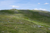
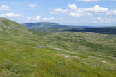
The trail wound around the southernmost rise of Kraapa to enter the pass between that and Kruptjie, from which I saw a tent and its two inhabitants by a small tarn some distance down the other side. Rather than going down, however, I cut diagonally up the uneven slope to my right, which soon revealed Ottfjället in a surprisingly striking profile. The wind increased as I neared the crest, and then I suddenly caught sight of the tarn that was the goal of the day – and a fine sight it was.
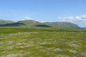
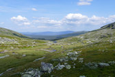
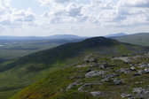
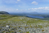
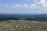
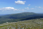
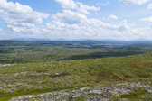
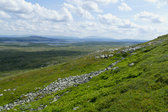
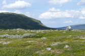
Since it was still early I continued northwards atop the narrow rise that makes up the western edge of the plateau between Kraapa's two summits, and then started ascending again, eventually reaching the highest point in the northeast. The wind was now very strong, but the views were grand to match, with exceedingly far visibility in most directions due to the low nature of the closest formations.
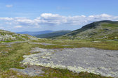
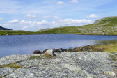
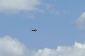
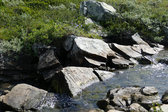
After nearly blowing off the top I descended along a more easterly route, coming down to the northern endpoint of the tarn. From there I skirted its eastern edge through an area of flat rocks, and sat down at the shore at 11:30. As I sat there a tweety bird did circles all around and above, but otherwise I saw no movement. The wind was lessened down there, but still present enough that I put the wind jacket on now that I had stopped moving myself. The sun was occasionally hidden by clouds while I had my lunch, and that together with the wind made me forego a full bath, which would otherwise have been a splendid option, but I did dip my feet. I went over to the southern end – still barefoot – to investigate the ground, and then returned to the lunch camp for departure.
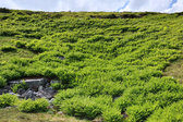
I kept the wind jacket on at the start before I got my walking temperature up again. After rounding a little side pool I started going down the eastern slope at an angle, coming to an area covered in ferns where I had to negotiate a steeper section. I then made my way over to a small shelf, and by this time the decreased wind together with my internal heat made me remove the jacket. I wound my way downwards from there, in the end going straight down as the sun returned more and more.
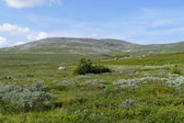
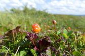
Down on more level ground I found that it was anything but level, mostly consisting of bumps. After crossing a brook I came onto a cloudberry mire which I ate my way across, and then aimed for the tarn east of Lillån. This I passed just east of, managing the outflow canal with ease, and then came more cloudberries. I headed straight for the cottage at first, and then turned towards the trail when I reached a region of larger mires. I crossed one of them without hassle even though it was quite wet, and then walked the path back home after 14:30.
« Return to Anaris report
