Saturday 21/8
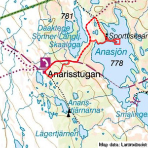
Anasjölägret
| Horizontal distance: | 7 km |
| Vertical distance: | -50 m, +50 m |
| Time: | 2 h 45 min |
| Lunch break: | 30 min |
| Dinner: | – |
| Night accommodation: | – |
| Stage classification: | Easy |
| Map point: | Anasjölägret |
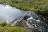
It was somewhat chilly still as I descended along the trail, almost slipping on a wet rock face. The condition of the path itself was fairly good, however, with only a few puddles remaining in the grassier regions. A burst of light drops approached from behind as I myself approached the rail-less bridge, which I passed carefully since the planks were wet and therefore offered reduced friction, noting that there was more water in the stream now.
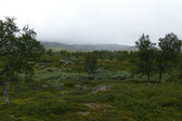
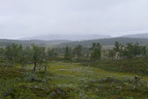
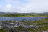
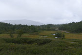
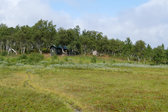
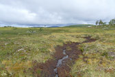
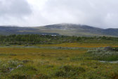
The clouds lifted again as I emerged from the forest and was greeted by a strong wind instead. Upon the ridge I got an autumnal feeling, and then it was back out onto mires which were wet but quite passable. After scaring up several groups of ptarmigans I reached the ATV road, which was muddy and full of holes. The outflow of the adjacent tarn had swelled across the road, but the water was shallow enough to simply splash through. Upon the subsequent low hill it was drier, and I soon reached the end of the road between a number of scattered buildings making up Anasjölägret.
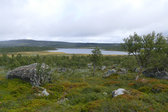
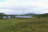
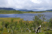
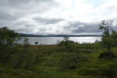
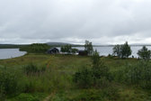
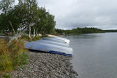
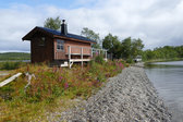
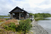
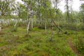
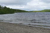
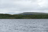
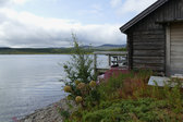
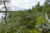
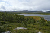
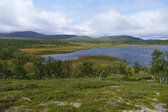
I walked over to what looked like a boat house, and then followed a nice pebble beach to the sauna and a larger, new-looking residential building with a patio. There was no one about, so I looked around on my own for a bit as the sun paid intermittent visits, and then followed a path onto the elongated headland jutting out into the lake. This took me over another ridge the top of which was sparsely forested with a pleasing kind of undergrowth, and after munching on some delicious cloudberries I reached the tip at noon.
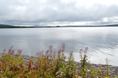
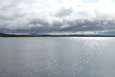
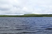
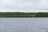
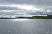
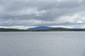
There I sat down protected from the strong wind and had my lunch looking out across the waves, while the clouds mostly held sway above. When I got up again I followed the northern side of the headland, where it was boggier, and then went diagonally up onto the ridge, still keeping to the northern side. I reached the path just as the ridge ended, and then made a wet crossing of the large mire between the lakeside buildings and some smaller cabins in among the trees at the foot of the hill. These were of simpler make, and similarly unoccupied.
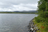
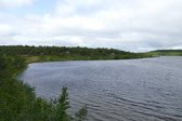
The sun was breaking through more and more as I left, taking a muddy path closer to the lake; it got better later on, but instead I was assaulted by the wind again as I reemerged from the trees and bushes. The path more or less followed the shore until it reached the end of the next bay, after which there were several canals consisting almost entirely of quicksand-like mud. These I circumvented at the cost of some additional distance, and then followed a smaller path that landed me back on the trail just at the start/end of the large mire.
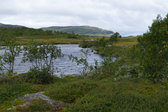
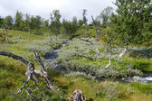
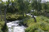
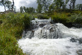
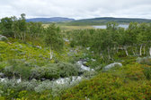
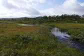
It was now mostly sunny, and I walked calmly over the ridge. When I reached the stream I broke off the trail and followed it upstream on the southern side. At the start it was bushy, then a bit muddy, followed by wet grass, and then the terrain started slanting upwards appreciably. Here the ground consisted of moss and heath in bumpy formations, but the really interesting thing was how the nature of the stream had changed: it now fell in a multitude of rapids and small waterfalls, which together with the somewhat dense forest around made for a very wild feel.
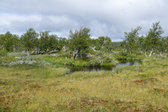
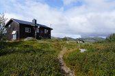
An even bumpier part followed and then I negotiated a side flow with some care, using grassy tufts for support. After that I came out onto a mire where the stream meandered in sharp turns with basically no speed at all, making for a drastic change of pace from the forest falls. As the mire was rather wet I skirted its edge, in full view of the cottage, following reindeer tracks to the water hole. There I managed to extract one of the planks I had build the passage from earlier, which had broken loose what with the much higher water level, and returned it to its previous place. All that remained to do then was to walk the water path back home, which I did at 13:45.
« Return to Anaris report
