Monday 16/9

Lunndörren – Vallbo (via Pyramiderna)
| Horizontal distance: | 13 km |
| Vertical distance: | +60 m, -290 m |
| Time: | 4 h 30 min |
| Lunch break: | 1 h |
| Dinner: | – |
| Night accommodation: | – |
| Stage classification: | Easy |
| Map points: | Lunndörren, Pyramiderna, Grönvallen, Vallbo |
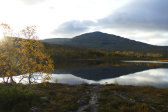
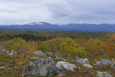
I slept well, even though there was movement in the building in the early morning. It was fairly warm and as of yet no rain which was promised by the forecast later; the sky was partially clear and there were glimpses of the sun, but things looked denser off at the western edge of the basin. This was still the case when I arose at 07:30, and once again it was just me and another Jämtlander left at breakfast. The sun was just rising above the eastern heights, and everything was entirely calm. The clouds pulled shut as I finished up, and after speaking some more with the wardens I was the last to leave around 09:15, walking wihtout the jacket to start with.
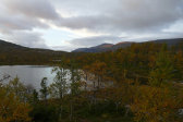
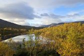
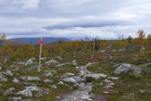
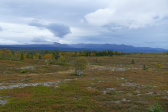
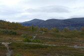
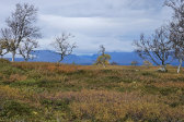
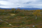
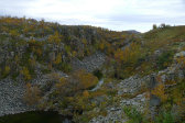
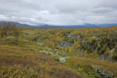
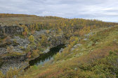
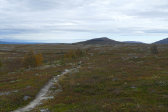
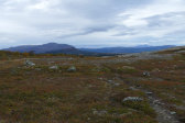
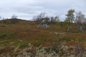
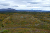
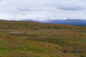
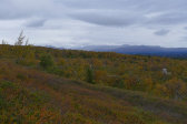
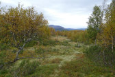
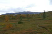
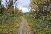
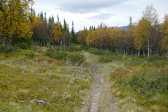
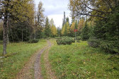
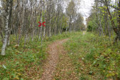
There was a weak wind as I ascended through the autumnal forest which retained much more leaves than its western counterparts, passing a couple of stony or wet patches. The clouds were low off to the west, but the sky ahead was still clear in the distance. I walked at a comfortable pace, soon coming out onto nice open ground where I saw the mist of rain off in Stor-Stensdalen. I went out to the edge of the ravine between Lill-Gröngumpen and Stor-Gröngumpen to have a better look at the formation, and as I neared the trail split above it information signs started appearing, as this area is under active maintenance due to high visitor pressure combined with sensitive terrain.
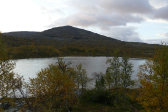
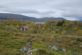
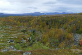
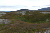
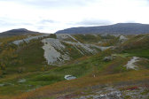
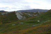
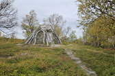
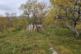
There were a couple of reindeer nearby as I turned northwards onto the Grönvallen trail, and after passing a hut I broke off onto a side path leading towards the eastbound summer trail. After making sure that doing so would be permissible under the local restrictions, I continued out to a crest overlooking the intriguing Pyramiderna (Pyramids), and then gently made my way down on a faint path which landed on a larger one leading off towards the little Sámi encampment below. This eventually brought me back to the original trail right at a prepared resting place, and before I started to descend into the forest from there I noted that the northwestern rain was still at it.
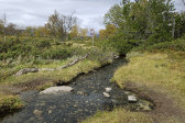
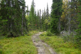
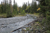
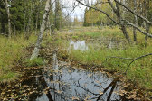
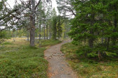
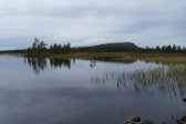
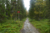
Said forest was nice and spruce-ful, and the path was broad. When the slope levelled out I went out to the nearby Grönan, which flowed through a debris-ridden area bearing clear signs of spring floods, and by now I had started noting a few drops in the air. This was very light still, however, so I just pressed on as clearings started appearing along my route, eventually settling into a semi-open flat tract dominated by gravel. Shortly thereafter I caught sight of the buildings of Grönvallen before 11:15, and as it was now raining lightly I went straight to the adjacent wind shelter, finding no one else present.
I put on the rain jacket for warmth even though I was now out of the rain and took it easy for a while as I had made good time and was in no hurry. Just as I was having my lunch a trio came from the north, but after one of them paid a visit to the privy they just moved on. It was entirely still and when I got going again the rain had almost petered out, but I kept the rain jacket on and fixed the rain cover on the rucksack since I expected more before very long. The first bit of the path was deeply eroded, and after having been immobile for a while I had started feeling an ache around one of my Achilles tendons as I negotiated the uneven ground, but it seemed to lessen as I got up to working temperature again.
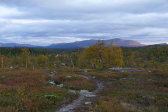
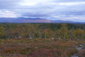
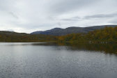
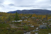
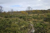
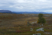
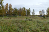
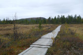
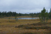
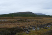
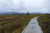
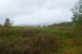
There first stretch after Grönvallen consisted of open ground with high wilted herbs, grasses and ex-flowers, and then the path went back into the forest, which was of the dry pine variety here. This turned into more mossy spruce forest as I neared Stor-Vargtjärnen where there was another prepared site, and now low clouds were obscuring everything to the west. Next up were the boarded mires of Vargtjärnflätet, and as I came to the first of several wooded "isles" the rain increased again. The boards grew more broad as the rain grew more intense, but it was still fine on the whole, and visibility was better towards the southeast.
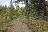
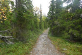
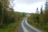
Eventually I reached the end of the mires and started the final descent of the day on a large, stony path. As it was now raining quite extensively I stopped under a large tree to put on the rain cover on the camera pouch as well, after which I tried adjusting my walking technique since the heel had gotten worse. I stopped to read the info signs at the trail split to Anaris, and then the path turned into hard-packed dirt before reaching a crossroads with one branch leading off to a residence of some sort. Since I was early I paused for a while under a group of trees there rather than just standing out in the rain later. Eventually I covered the last bit to the village, walking on slippery dirt first and then following a car road and later a smaller accessway to the bus stop, arriving around 13:45.
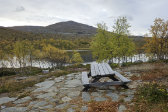
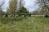
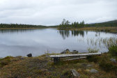
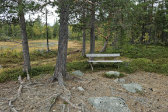
This left me 45 minutes until the bus was to arrive, so I found another tree to stand under, after a while relocating to a copse with a table and benches where I could actually sit down under the protection of the branches. It was now raining heavily, and after another while I got up and huddled closer to one of the trees, both due to the increased wetness and because I was being bothered by a cluster of surviving gnats. The bus showed up a couple of minutes late, containing two other passengers and the same driver as on day 1, thus bringing the tour full circuit.
