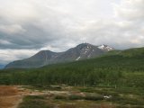
Wednesday 25/7

Änonjálmme – Sjnjuvtjudis
| Horizontal distance: | 11 km |
| Vertical distance: | +60 m |
| Time: | 2 h 45 min |
| Lunch break: | (none) |
| Dinner: | Goulash |
| Night accommodation: | Tent |
| Stage classification: | Easy |
| Map points: | Änonjálmme, Akka |
The train arrived in Gällivare on time, which left about an hour of standing around before the bus to Ritsem was to leave. The sky was mostly clear with some cumuli here and there, although they were more frequent to the west. Once on the road there was a light shower, and as we progressed westwards – through extensive construction work – the clouds grew denser; at Kebnats the sun was nowhere to be seen any longer. The weather was of the usual variable type, however, for at Stora Sjöfallet it was sunny and fair again.
Speaking of Stora Sjöfallet, I cannot – and will not – resist adding my thoughts on a subject both well known and well covered in writing for nearly a century. In days of yore, there was a great waterfall – or, rather, a series of waterfalls – between Gårtjejávrre and Láŋas, two of the lakes that make up the greater lake system which in turn is sometimes regarded as the source of the river Stora Lule Älv. This fall, known in Lule Sámi as Stuor Muorkegårttje and in Swedish as Stora Sjöfallet (Great Lake Fall), was impressive indeed, and was at the previous turn of the century becoming a tourist magnet.
The grandeur of both the fall(s) and of the valley of the lake system itself contributed to the 1909 vote by the Swedish parliament to establish Stora Sjöfallet National Park and the bordering Sarek National Park to protect this unique area – and Stuor Muorkegårttje in particular – "for evermore". For a single decade the peace held, but then the same parliament made the unbelievable decision to break out the entire lake system above the fall from the Park to allow for hydroelectric exploitation, going directly against the stated purpose of said park: "to preserve a mountainous landscape of the high north in its natural state"! (Translation and emphasis mine.)
The subsequent dam constructions at Suorva have completely obliterated the unequaled system of coves and bluffs in the upper lakes – a feature which had also played a large part in why the area had come under so-called protection in the first place – and the obstructed water flow has robbed Stora Sjöfallet of nearly all of its past magnificence, leaving but a mere trickle in comparison. On occasion, when the water level in the artificial reservoir Áhkájávrre reaches high enough, the flow is increased and the falls regain some of the power they once possessed, but they can never be anything other than a shadow of their former selves. This was not only an appalling transgression against nature, but in true imperialistic fashion according to a pattern repeated over and over throughout history and throughout the world, the consequences to the indigenous population – the Sámi, in this case – were given no consideration whatsoever.
The rise of the water above Suorva drowned many a settlement and prompted a prolonged forced relocation of large groups of people, and it destroyed the aeon-old transport way across the lake system; time and again the Sámi have been compelled to endure this particular kind of assault upon their civilization, but the devastation of the valley of Stuor Muorkegårttje is arguably the worst of the worst (here is a poem by one of the Sámi who lived through it). As to the effects on flora and fauna, both terrestrial and aquatic, anyone with half a brain should be able to get the picture, and the sterile mud shores of Áhkájávrre that emerge when the amplitude of regulation is negative – an open wound that never heals – reveal some of the utter desolation that has taken place in the name of progress.
And now the "National Park" of Stora Sjöfallet lies there as the epitome of how little such labels are worth when industrial and economic interests come a-knockin', the very name a mockery. Mother Nature has been raped and those who have lived by her word since ages past have been trampled, and the only thing we, the people of today, can do is take every conceivable action so that nothing similar ever be allowed to transpire again. While great steps have been taken in that direction over the years, it is also true that as I write these very words new plans of exploitation in this very area are being drawn up. Stora Sjöfallet may be irrevocably lost, but it now serves as a constant reminder that the atrocity that was its ruin was far from an isolated event, and that the battle must be fought on every front to ensure that what precious little remains of true wilderness never again suffer this grievous fate.
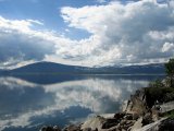
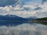
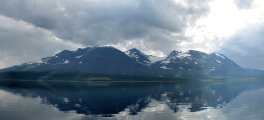
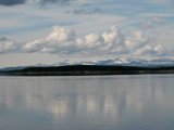
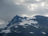
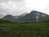
Restoring focus to the present, the remainder of the bus journey – on the road which should never have been built – took place in spotty sunlight and occasional light rain. Áhkájávrre was as calm as it is likely to get, and the clouds were high enough that no peaks were hidden. Under such conditions it isn't too hard to "forget" what the vast lake represents, and instead enjoy the great presence of Áhkká, the famous massif on the southern side which is often referred to with the nickname Queen of Lapland. Further off to the south, over Sarek proper, the clouds were more ominous. The free card handed out to all participants in the warden course earlier in the year gave me free passage with M/S Storlule, a boat operated by STF connecting Ritsem with Änonjálmme and Vájsáluokta on the other side, and during transit I changed into walking attire and packed up the last things.
Another light shower occurred while we were approaching the destination jetty, but it was nothing to be concerned about. I started walking along the trail just before 14:45, overtaking and due to photo stops also being overtaken by the family of four with whom I had shared a train compartment. It felt warm at first, but after a while of walking everything "settled down". Neither I nor the family stopped at the Akka cottages, which lie about 1.5 km south of Änonjálmme, and just after a small footbridge not long thence the skies opened. It started as a few drops, but within seconds it was a full-blown downpour.
I jumped off the path into the surrounding trees, finding one which would at least stop some of the water while I fiddled in the rucksack's pockets for the rain cover. This I then used as a makeshift tent, spanning it over my head with the rucksack between my legs, and I remained in that position until the rain subsided – which as expected took only a few minutes. The family stood under another set of trees not far off on the other side of the path, having gone through the full procedure of rain-clothes-putting-on, but I contented myself with the wind jacket and the rain cover (in its proper place); I knew full well that my thin trousers would not hold off the wetness in the undergrowth, but they also dry in no time when not exposed to further moisture. As I progressed towards Vuojatädno the roar of the mighty stream grew louder, and when the forest opened I could see that the rain was now centered over Gisuris inside Sarek.
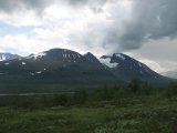
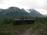
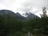
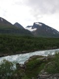
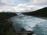
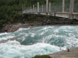
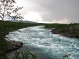
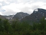
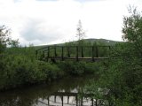
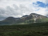
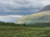
As the above pictures show, Vuojatädno is not an obstacle which one can get past without aid, and the bridge providing that aid is one of the larger constructions in the trail system; passing over it with impressive amounts of water foaming under one's feet may not be for the faint of heart, or those who suffer from acrophobia. Somewhat surprisingly the first element of the name refers to swimming, but this is in the context of reindeer, and the location in question – where the Sámi of old let the reindeer herds swim across – now lies beneath the surface of Áhkájávrre, like so much else.
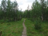
Crossing the bridge landed me in what now constitutes the southern half of Stora Sjöfallet National Park, and on the first hilltop I found a camped trio, but as for myself I intended to go several kilometers further before stopping. The Sarekkian rainfall was now passing over Badjelánnda, and where I was walking there were only a few drops now and then. I met another two people, and then the trail entered a region below the Áhkká Terraces (a glacial remnant) where the hike took on a character of a lighthearted forest walk at home. I paused briefly at an ordered resting place by the bridge over the brook that comes from Sjnjuvtjudisjávrásj – a signpost named it Jåkkjåkken, which should be vaguely amusing to those familiar with Sámi loans – and although I considered making camp there I felt a bit restless still, so I decided to continue on.
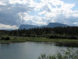
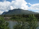
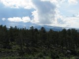
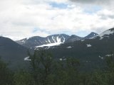
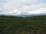
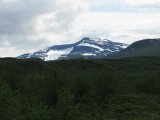
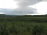
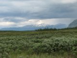
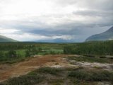
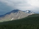
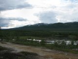
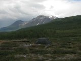
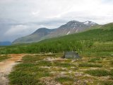
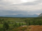
What followed was a region where no suitable drinking water was to be found near the trail, and it was several kilometers more before the forest opened up and revealed a large mire. Directly following that the trail made a sharp turn to the right, and at that place there was an old campsite. There was still no fresh water in sight, though, so I pressed on, and after a short distance I came upon a few tiny brooks, but a bit later there was a slightly larger one just before a slope up to a plateau. On this plateau the ground was nice and even, and the views were fine indeed, so I made a quick and easy decision to set up camp there, a few minutes before 17:30.
A new rain had started on the northern side of Áhkájávrre, and it worsened considerably while I watched. A lone walker passed me by from the south while I was preparing to prepare dinner, and after consumption of said meal another two persons came from the same direction, making no haste. The sun, which had been absent ever since the boat trip, was gradually breaking through the thinning cloud cover, and the northern rain had ceased even though the sky remained dark and threatening in that direction. A light wind kept the mosquitos away, and it was a rather nice evening. A couple approached from the north, but they took a long break at a safe distance before going on, and when the sun disappeared again I went inside the tent, which had had time to warm up.
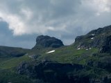
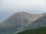
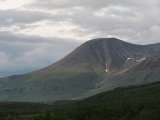
By then there were dark banks of cloud both to the south and the north, but the other two cardinal directions showed light skies. The family finally caught up, passed, and then put up their own tent where the forest started again after the plateau. I sat outside enjoying the vistas, and was "visited" by another pair of hikers who also took a break nearby. Then yet another pair appeared on the slopes of Sjnjuvtjudis, picking their way down towards the brook, turning north while they were still a good distance away. More clouds were rolling in, but they fell short of forming an unbroken blanket, and off to the north it was much lighter. The wind had now died down which meant that the mosquitos had a field day, so I entered the tent again, resting and solving crosswords.
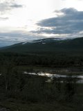
Later in the evening I spotted two pillars of smoke rising from separate places on the other side of Vuojatädno, so there were probably camps there as well. The darker clouds had gone on towards the north, leaving a veiled but light sky behind, and visibility was full. I had a light evening snack in the windless outside, but the mosquitos soon made me turn in for the night before 22. More cloud banks were waiting in the far south, but the weather was still nice where I was, and it was rather warm.
