Friday 27/7

Nijákjågåsj – Skárjá
| Horizontal distance: | 18 km |
| Vertical distance: | +120 m, -180 m |
| Time: | 6 h 15 min |
| Lunch break: | 45 min |
| Dinner: | Chicken sweet-and-sour |
| Night accommodation: | Tent |
| Stage classification: | Easy |
| Map point: | Mikka |
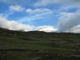
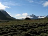
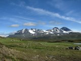
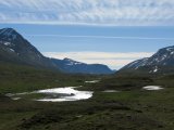
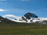
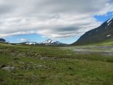
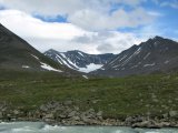
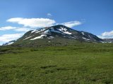
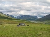
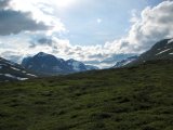
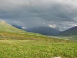
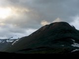
The ground where I lay was pretty bumpy and the slant was also noticeable, but I managed to sleep well albeit in intervals. It was windless and still rather warm, and when I peeked out through the ventilation opening at 7 I was much gladdened, and not so little relieved – the clouds were lifting all around and in the far west and south the sky was already clear. I stood outside just absorbing it all, while the clearing process continued in a steady but very slow manner out of the west; the contrast to the cheerless day before was sharp, and much uplifting.
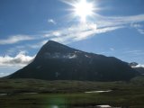
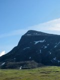
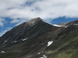
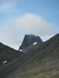
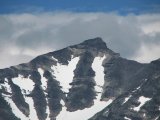
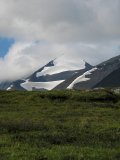
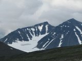
I had breakfast outside, during which the sun broke through the remaining clouds above Niják, and before too long there were only wisps around the peaks. The wind was still mostly absent and the temperature was rising fast; it felt so good that I made every effort not to make an effort in speeding up the breaking of my camp. The tent had very nearly dried, but as I struck it I noticed that a strap had come loose from one of its fittings – it was a minor detail, however, and wouldn't impair the function of the tent, and I reckoned it could be easily fixed at a later time.
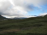
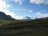
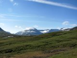
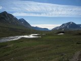
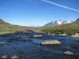
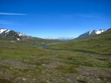
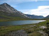
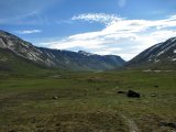
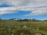
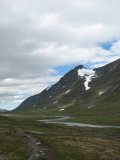
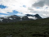
I started the stage of the day shortly before 09:30, going down to the path the condition of which had returned to acceptable. I passed a number of small wet areas where it was difficult to discern, but it was always easy to find again on the other side; not that it mattered much either, for the Ruohtesvággian ground offers easy going almost everywhere. The weather improved further still, and everything felt awesome – my improvised compress also worked like a charm, rendering the sore areas immune to the stress that had given rise to them in the first place.
At the adjoining stream that comes from the south of Jålle I followed a dwindling path upstream, looking for a jump-on-stones type of crossing, but the further I got the less likely such an outcome seemed. When I reached a section of calm water I decided to perform a proper ford; the weather was as nice as one can ask for, the intended crossing place was perfectly good, and since I would certainly have to ford Smájllájåhkå a few kilometers later I thought I might just as well "get into it" – it had been almost two years since conditions had been such that I had needed to put on the sandals in order to get across a stream.
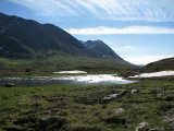
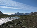
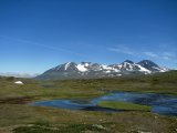
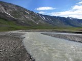
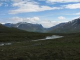
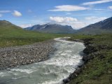
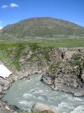
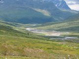
Following this partial immersion I cut across the undulating landscape that lay between me and the main path, which had improved by the time I came upon it again. Now a southerly wind had picked up, and far off to the south clouds were amassing anew. I passed a tent on one of the many streamside meadows, and kept on the path until it reached the shore of the northernmost arm of Smájllájåhkå. This stream, coming from Oarjep Ruohtesjiegŋa, is well-known to most if not all Sarek folk – due to its high silt content it is impossible to see the bottom if the depth is more than perhaps a decimeter, which is a potential danger for crossing, but due to the high number of individual arms among which the water masses are divided as well as the smooth bottom, actually getting across in some place in the stream's upper reaches very seldom poses a problem.
So it was also for me – I could make my way over several of the water courses by going up and down the shoals and making a small leap here and there, but eventually I came to a substream which was obviously deep and wide enough to put a stop to that method, so the sandals went on and I went in. The water reached just above my knees at the deepest part, and the force of the moving liquid was formidable – the distance was only a few meters, but I still ended up going in an involuntary arc. After that there were a few more arms to take care of, but they were of a very minor nature, and soon I was free of the canal system. I continued a little bit further, choosing my own way across the lowest slopes of Boajsátjåhkkå, before stopping at a small brook at noon to have lunch.
While I sat there clouds took up position both above and to the north, and the sun found itself behind them more frequently. A pair of hikers came from the south, having a somewhat shorter break a bit further downstream the same brook. There were more clouds of the denser variety on the way from the southwest and the wind continued, and I wavered back and forth whether I should wear the wind jacket. However, the new clouds seemed to be having second thoughts, for their progress was not only impeded, but they actually appeared to be withdrawing.
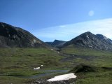
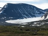
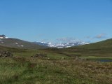
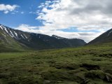
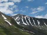
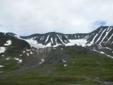
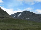
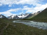
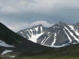
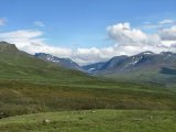
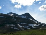
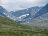
Once in motion again I went downhill a bit, where I found intermittent fractions of a path and more wet areas. The almost-path improved after a while, passing a multitude of runnels brought into being by the many snowfields that were still extant, and the sun made sporadic visits. Later on the terrain changed to wet-and-stony, which was of course coupled with another path deterioration. Since I was now passing the bend the valley makes around Boajsátjåhkkå the landscape to the south opened up, and I could see select peaks of Bielloriehppe and Skoarkki far away. I saw both a tent and some people on the other side of Smájllájåhkå, right beside the noisy stream that falls from the small glacier beneath Vargtoppen, and then I found myself at Boajsájågåsj.
I have never seen this stream mentioned as being in any way noteworthy, much less as a possible problem – and I see no reason to be the first to write such words. At first there were but a few trickles, then I came to the main course where a quick survey revealed a simple boots-on passage, and the remaining arms were easy. Shortly thereafter I came across a resting couple and we talked for a bit. Their route was more or less the same as mine only reversed, which meant that we could give each other valuable up-to-date information – they raised a warning finger for both Alep Basstajåhkå and Tjågŋårisjågåsj, but they also confirmed that the snow bridge which often exists over the latter was still passable.
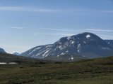
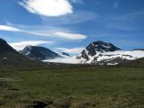
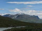
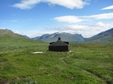
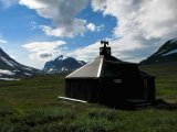
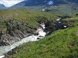
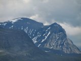
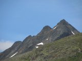
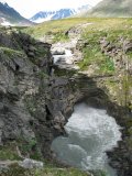
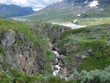
From there on the path was good again, albeit still somewhat stony and wet. The wind had subsided, and after passing the point where Mihkájåhkå joins Smájllájåhkå the clouds finally surrendered the firmament to the star system's primary. Sarektjåhkkå was now in full view – this is a striking massif the greatest peak of which is the second highest in Sweden, discounting the North Peak of Giebmegáisi – and seeing it in its full majesty is an experience I recommend. As for the path, it passed the reindeer fence that has been erected to stop reindeer from falling into Smájllájåhkå – which surges through an impressive canyon in those parts, and is thoroughly impassable – close by the stream, going straight to the Mikka cabin.
This cabin is owned by the Environmental Protection Agency and maintained by the County Administration of Norrbotten, intended for nature monitoring personnel. As such it is locked, but the privy is open (bring your own paper) and so is another small building which houses an emergency telephone and a log book. Previously this latter structure was divided in half, with the second compartment being a storage area for garbage, but this has recently changed so that there is now only one slightly larger room with a small table and bench, and wanderers are asked to bring their trash with them to their destination.
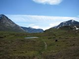
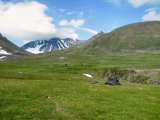
I entered my name and intended route into the book and then continued on the path, passing the other end of the fence and finding a small brook which would do nicely as a source of fresh water; Smájllájåhkå itself is both inaccessible due to the canyon and mostly unsuitable for drinking due to the silt. I searched around for a good tenting location, which actually took some time – the ground, while consisting almost exclusively of grass, was pretty bumpy. At 15:45, however, I had found a patch that met my demands.
UPDATE: During the summer of 2008 the Mikka cabin was (intentionally) burnt down and a new monitoring building was erected further down Rapadalen. The phone building and the privy remain, however.
I didn't set about pitching immediately, though – the conditions were much too good not to be given proper perceptive attention. The Skárjá area is often referred to as Smailaträffen (Smaila Meet) because it is a natural meeting point deep inside the park – the bridge over Smájllájåhkå beside the Mikka cabin is one of but three in the whole of Sarek (excepting where Kungsleden passes in the southeastern corner), and the majority of those who travel through the park pass it at some point. At the moment, however, there was no one else in sight in any direction.
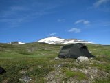
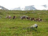
I spread out the things which were still damp to dry, and then raised the tent. Another cloud bank was approaching from the south, but it seemed to prefer hanging over Skoarkki and Oalgásj. I had dinner outside (duh!) in a changing but light wind, and finally I caught sight of another pair of hikers coming from the southeast; they continued on north through Ruohtesvágge without pausing, though. Despite the repeated attempts of the various clouds the weather had not changed much, and I went on a little photo tour, specifically checking out the lower parts of the canyon.
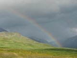
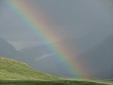
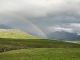
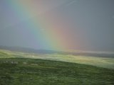
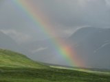
Now the clouds seemed intent on covering the sky, and I saw fit to go inside the tent for a while. The orientation of said tent provided me with a good outlook on the cabin, and it didn't take long for the next visitor to arrive; this time it was a lone fellow who came out of the west and took a break inside the unlocked hut. It had started to rain over Ähpár and Skoarkki, but the clouds responsible for it were moving towards the north and east – Skárjá felt nothing of it. The rainfall upon Bielavallda was rather heavy, though, giving rise to an intense rainbow. There was a bit of sun and some wind, and eventually the other man went on his way, also heading up Ruohtesvágge.
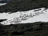
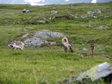
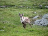
As for myself I read some in my book while the rain continued off to the southeast. A bit later another pair came from that direction and set up camp close to the bridge on the other side of Smájllájåhkå. A few drops found their way to our location, but otherwise it was still dry, even though the skies looked threatening all around. After a close encounter with some reindeer a light rain started, but it lasted only a few minutes, and when it had passed the clouds had broken apart slightly and it was calm again. I solved some crosswords and played solitaire, and the outside looked rather nice despite the looming clouds.
I noticed that another two wanderers had arrived from the southeast and were now sitting on a ledge on the other side, looking things over. I had a sturdy evening snack, and when I was done the new people crossed the bridge and passed me by, heading down the slope towards Guohperjåhkå while I made use of the privy. The amount of clouds was still high in all directions, but there were also some patches of blue, and it remained warm. A few gusts of wind ruffled the fabric of the tent as I lay down to read at 22, feeling extremely content with the past day.
