Saturday 13/8

Neasketvággi – Kaffedalen
| Horizontal distance: | 12 km |
| Vertical distance: | -60 m, +780 m |
| Time: | 4 h 30 min |
| Lunch break: | 15 min |
| Dinner: | Pasta Carbonara |
| Night accommodation: | Tent |
| Stage classification: | Hard |
Crawling clouds in the morning
I woke up at 6 to find a semi-low cloud base, but nothing too bad – and no rain either, so I was hopeful; I held open the possibility of making the ascent to the South Peak later in the afternoon. It was, however, rather chilly, and I noticed something else almost at once: the wind, which has thitherto been blowing from the east only, had changed overnight and was now coming from the west.
I got up at 06:45 and set about making breakfast. Unfortunately, the new wind brought with it rain clouds during my meal, the conclusion of which was rendered somewhat moist. I got back into the tent as quickly as I could afterwards and decided to wait there for a while, to see if I could find a window of lighter rain, or no rain at all, to strike it. Striking and packing a wet tent is never particularly enjoyable, but it helps if it isn't getting wetter while you're doing it.
I packed up all my other things so I would be ready to just jump out and start working as soon as an opportunity presented itself. After a few games of solitaire, there was a sharp decrease in the drumming on the outer fabric, so I got down to business. It wasn't really raining anymore; it was more of a damp wind (I'm sure that unfortunate dude in THHGTTG would have an appropriate label for it), and even that water content dropped to zero before I was done. Rather a good call, then.
I had been feeling a growing pain in my left ankle the day before, due to pressure from the boot. It felt a bit worse in the morning, so I used one of the spare woolen socks as a pad, which worked fine. I set out in light rain at 09:30, continuing along the marked unmarked trail, which was supposed to lead to a bridge over Čeakčajohka. It was therefore good to come across the sign depicted below about halfway down, but I did see the supposedly broken bridge from a distance, and it looked functional enough from there. The other one was too, luckily.
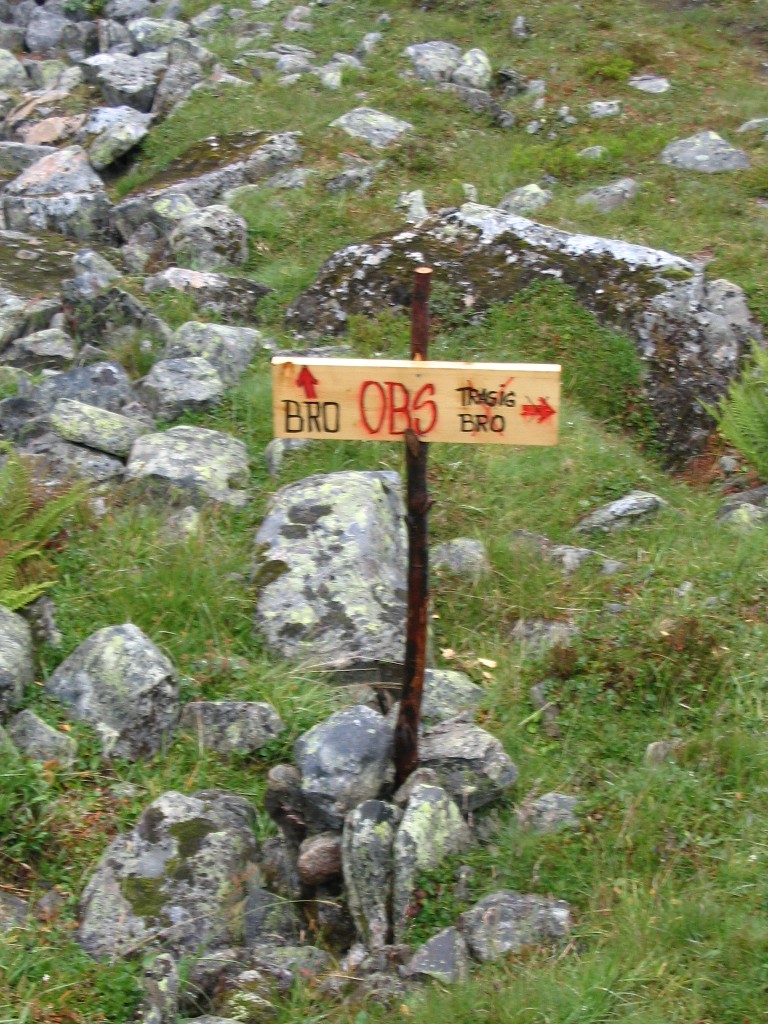
"ATTENTION
Bridge / Broken Bridge"
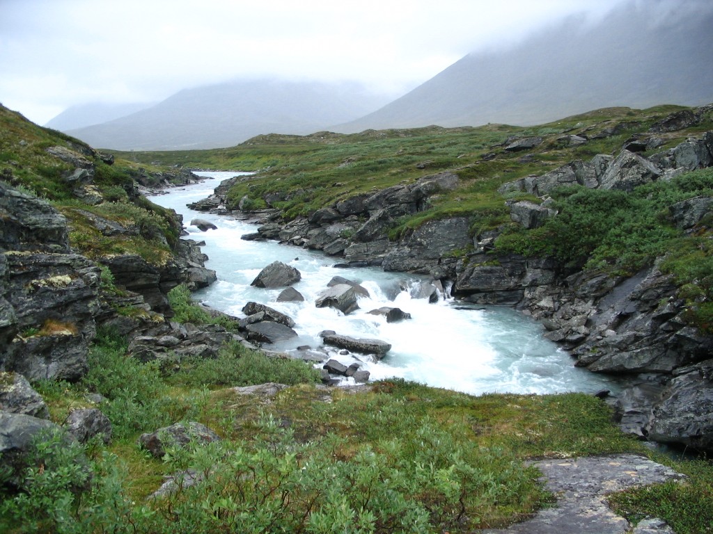
Čeakčajohka, at the...
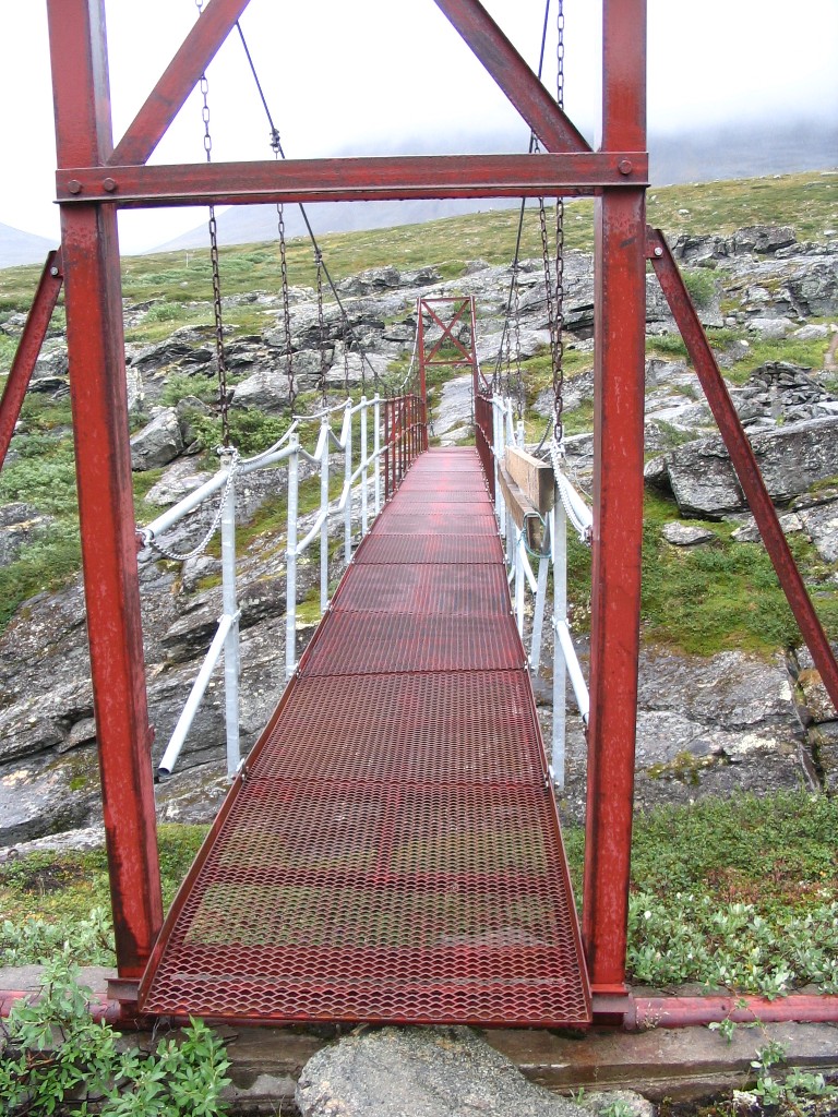
..."whole" bridge
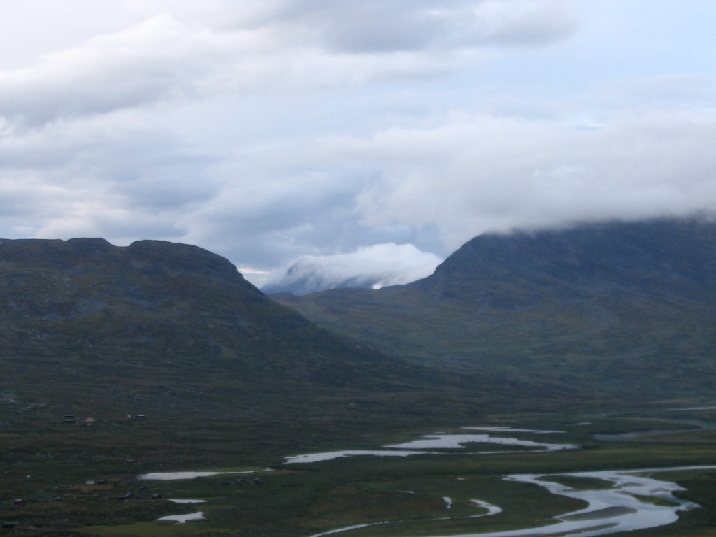
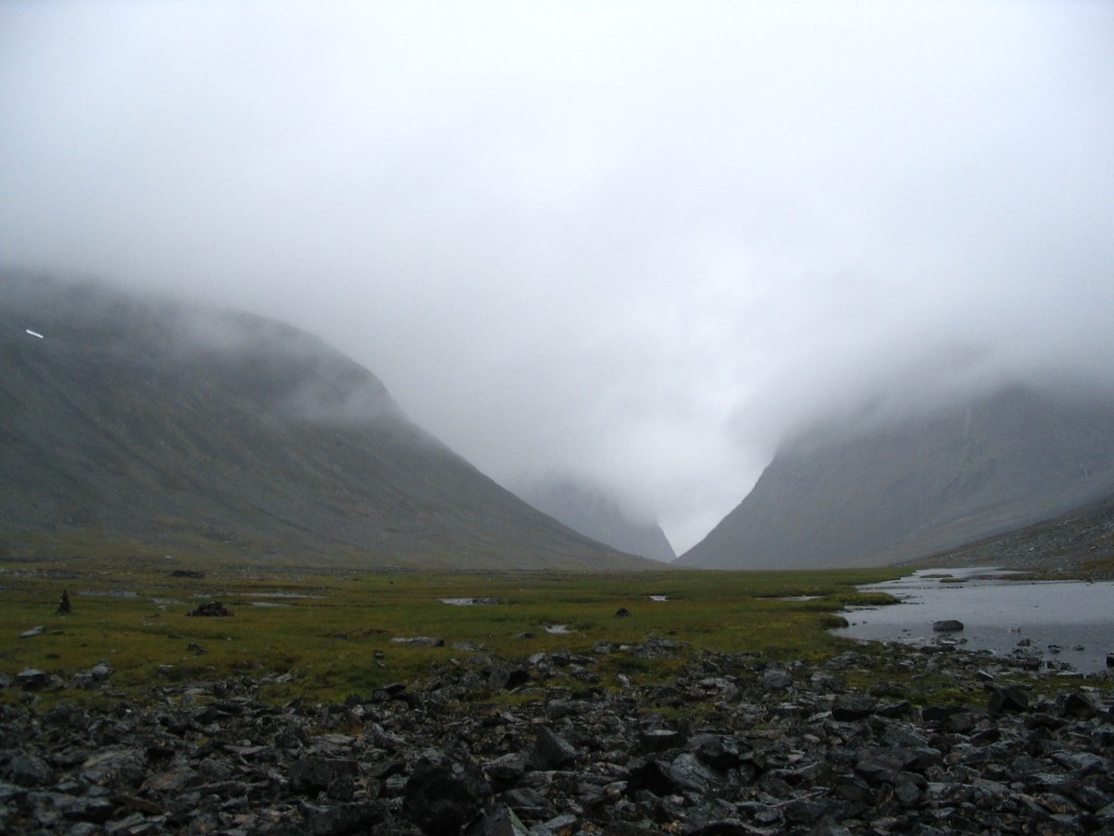
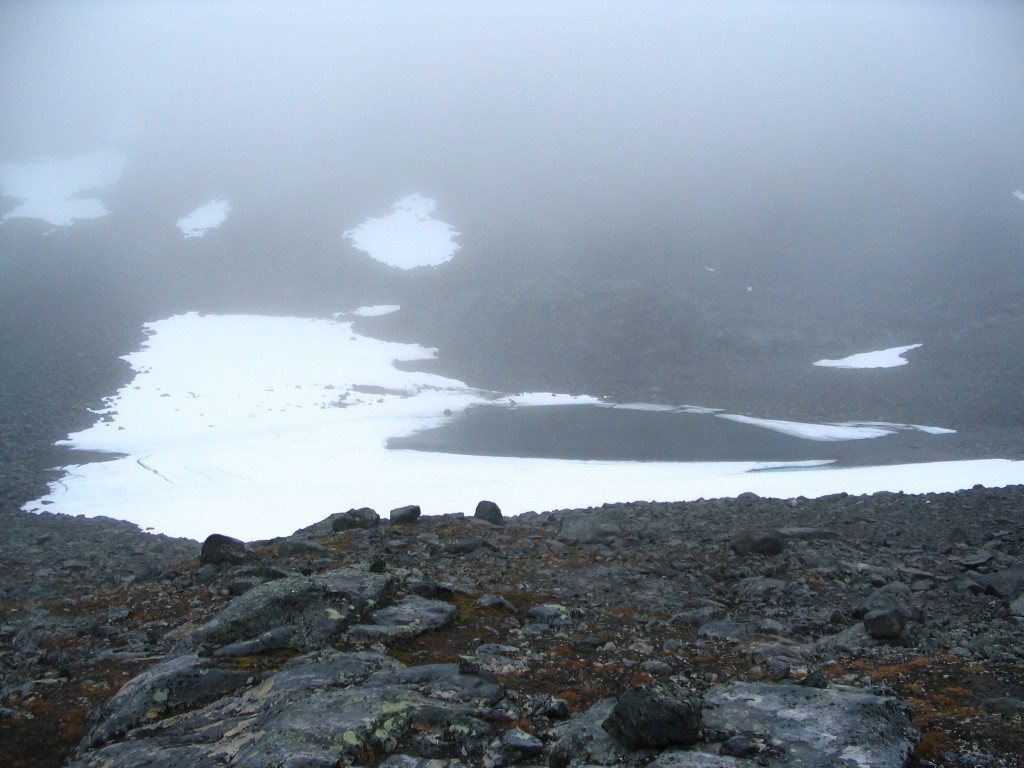
Both the wind and the rain gained intensity after I crossed the stream, but at least I was headed in a favorable direction. The map and the physical universe once again disagreed whether the trail into Siŋŋivággi was actually a trail or not, but I was simply content with following the cairn-marked path in obvious existence. The narrow entrance to the valley consisted of rock fields, which were slippery enough. I also found another map-related discrepancy: I did not notice any out of four clearly marked small tributaries to Siŋŋijohka – only rocks.
At the point where the ground turns level and the valley "really" begins, another valley opens to the north. Some call all of that valley Kaffedalen, while others reserve that name for just the bit between Vierranvárri and Giebmegáisi, where the Western trail to the South Peak passes. There is some basis for the latter view, as there is a sharp drop between that area and the rest of the valley west of it. Whatever it's to be called, though, that was the way I was going to take.
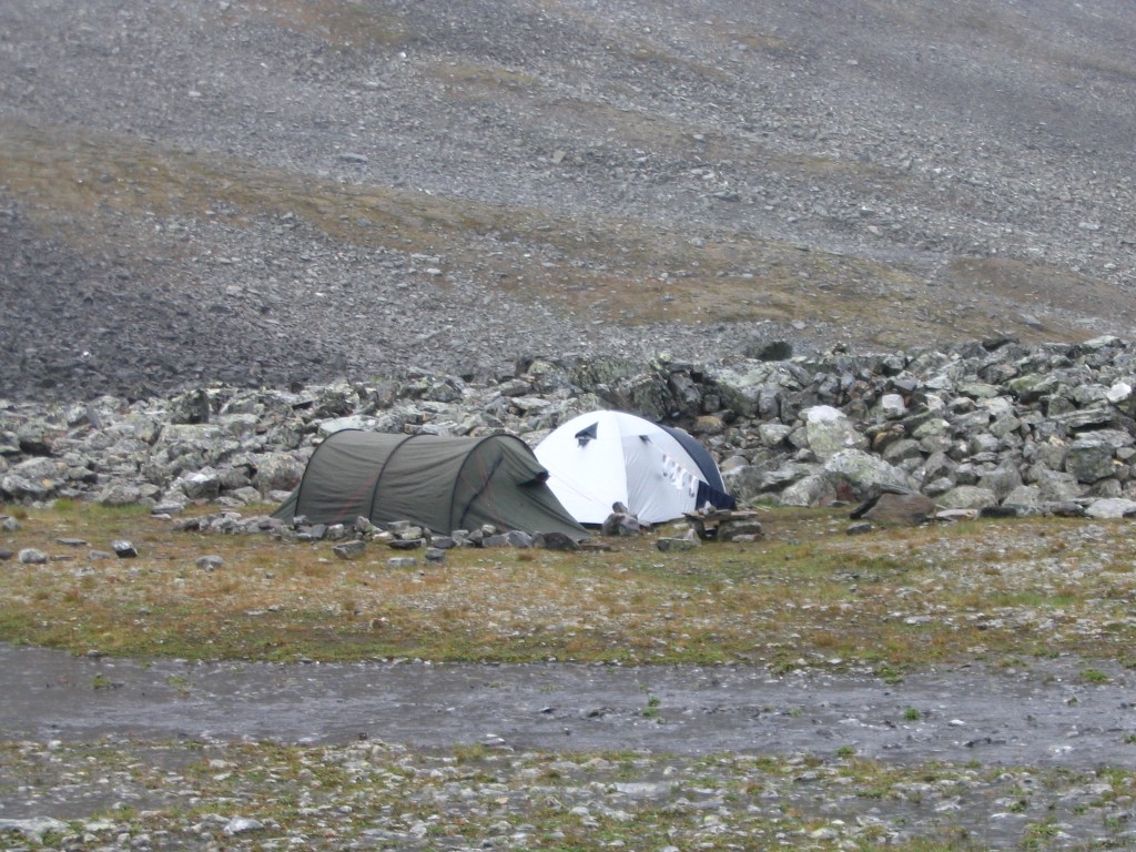
Right at the junction, the rocks give way to flat ground, apparently ideal for camping. And, sure enough, there were a couple of tents there; I saw no signs of life, so their owners were likely halfway to the top. After a quick pause, I started the climb myself.

Northern Čeakčavággi through the rain

Čeakčajohka delta
Expecting clear skies, or wanting a quick wash?
Looking into Siŋŋivággi...
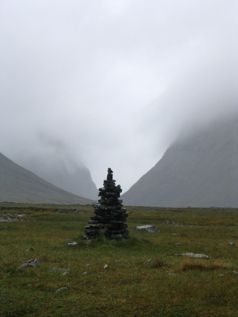
...at a distinct cairn
Going up, looking down
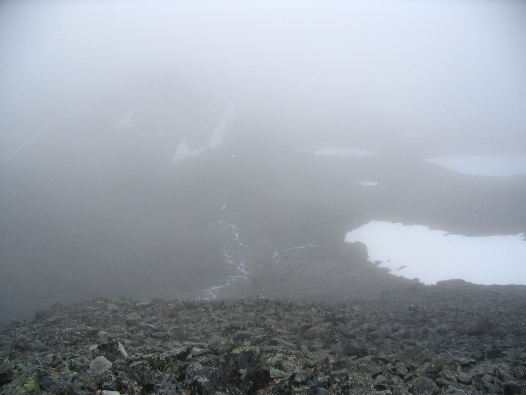
The "suggested path" on the map was drawn on the right side of the stream coming down the valley, but I took the left side. After having walked a little way by the water, it became clear that I would have to gain some height to be able to continue, so I did just that. I came across a very faint path, with unobtrusive cairns here and there, but it wasn't much at all. Then it was rocks, rocks, rocks and more rocks. After having passed the one (1) conceivable – and obviously previously utilized – camp site of the entire valley, as it would turn out, there were large cairns far apart for a kilometer or two, then smaller ones, then nothing; just wet, unfriendly stones. Going was very tough, and I was glad to have two staffs for aid.
I paused by a large boulder at 12:15 and set a record for having lunch – in under 20 minutes, I was moving again. Neither the wind nor the rain had subsided, so I wasn't interested in spending a moment longer than necessary exposed to them, in an immobile state. A little bit up from where I ate, I managed to cross the stream and found the "trail" on the other side – it was only marginally easier going there, but at least it was more or less clearly marked with cairns. Ironically, that is where I fell for the first time; I had lost my balance often enough before, but this was the first time that I actually toppled over. I didn't hurt myself, though, so I just considered it as having paid a long overdue debt and being done with it.
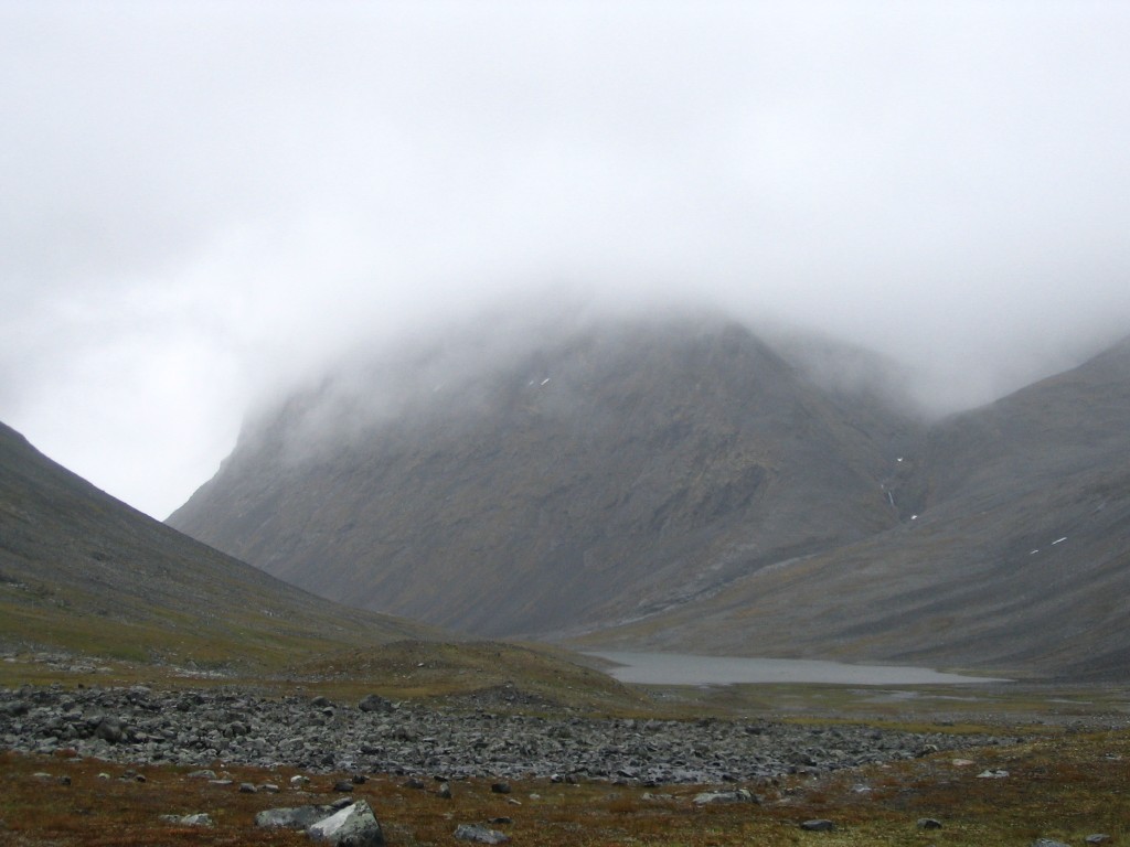
After a while, just as I was reaching the underside of the clouds, I got to the precipice between Vierranvárri and Siŋŋibákti and looked down at Siŋŋijávrrit some 400 m below. After that, I climed the steep slope beside the stream falling down that precipice, which would have been an arduous task in any event, but the rain, wind and low visibility complicated things further. It posed no real problems, however, and I was soon on more level ground again.
Up for a swim?
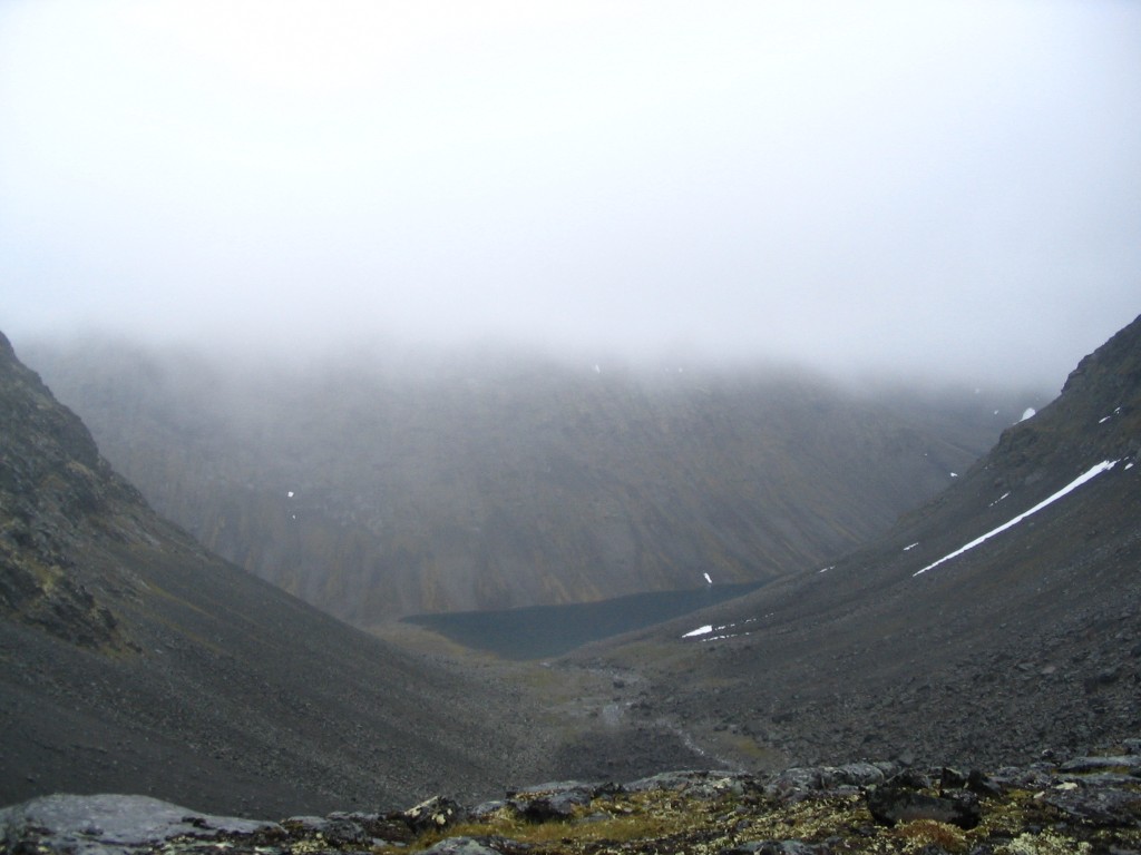
Siŋŋijávrrit far below
I came up that way
At 14:00, after some cautious exploring – still hampered by the ever-present mist – I found the Western trail, which was clearly marked by bright red paint on the stones. The terrain consisted of nothing but such stones, painted or not, but just east of the trail a few spots had been cleared. One of these spots was just big enough to fit my tent, and I found a tiny rill crossing the trail nearby, so I decided to attempt to make camp there and then.
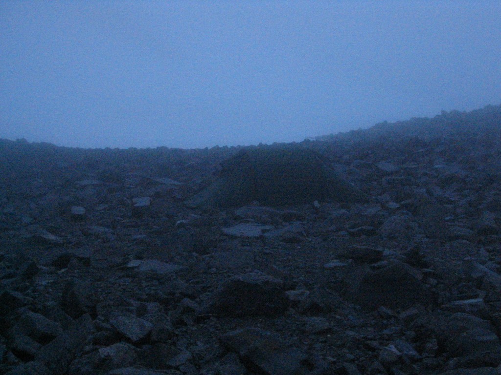
My somewhat hostile camp site
Just before I started, two persons coming from the top passed by; I wonder if they saw anything worth remembering up there. Pitching the tent was not easy, and it took almost an hour before I had it in place, properly stretched and secured. It was a very close call, but it worked. Just before entering the tent, I saw two more persons coming down the northern slope, but they broke off towards the west before having descended all the way, so perhaps they were the ones camping down in Siŋŋivággi.
Once inside the tent, I spread out the map to dry and crawled into the sleeping bag to maintain my warmth. Once again, boots and rain clothes had performed their duties within intended parameters, as I was mostly dry underneath. For the first time since entering Ballinvággi on day one, my mobile phone was able to acquire a signal, being rather close to the relay station at Kebnekaise. Hence, I made a couple of calls to those who had an interest in knowing my situation, and also made a train reservation for my return journey. Two more persons passed by, going up, then four came down and made surprised comments about finding a tent among the stones right by the trail.
Since the weather was the way it was, I had no wish to do anything more that day, so I just stayed in the tent reading, playing solitaire and started making a crossword (available here, in Swedish). After a miserable day, it was quite cozy relaxing in the security of the tent. I cooked dinner in the tent as well and ate at 19.
People continued to pass by; I counted six more going down (of which four were Finns who, as far as I could make out, also commented upon the tent) and seven going up, the last at 21. Unless they were planning on making a midnight descent, I reckoned they intended to sleep in one of the two Top cabins halfway to the summit from my position. Myself, I had my evening snack and turned in at 21:45, hoping for a better tomorrow.