Sunday 28/6
Latnjavággi edge
| Horizontal distance: | 7.5 km |
| Vertical distance: | +260 m, -40 m, +140 m, -140 m, +60 m, -280 m |
| Time: | 3 h 45 min |
| Lunch break: | 45 min |
| Dinner: | – |
| Night accommodation: | – |
| Stage classification: | Medium |
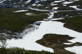
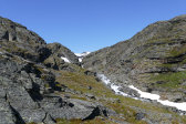
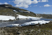
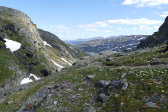
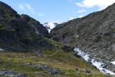
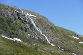
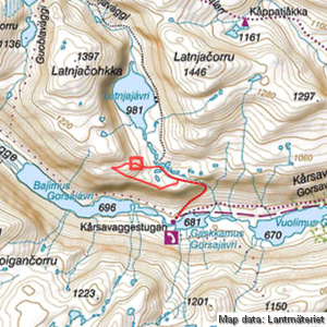
The path to Latnjavággi was dry at first, but after a bit a small brook ran upon it. Several snowfields followed, but they carried well. I observed a single hiker slowly making his way straight up the slope ahead of me, and he reached the path just as I was walking up. He turned out to be a bird scientist who was out scouting towards/into Latnjavággi for a coming bird count, wanting to see if the route was passable due to the snow. As my objective was similar he followed in my footsteps, sometimes literally when there were snowfields in the way.
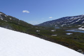
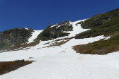
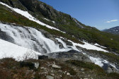
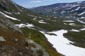
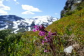
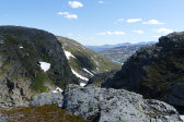
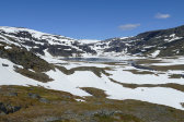
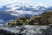
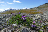
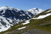
After the impressive waterfall the path turned around and got more challenging, with a few steep parts where natural stone steps were the only passable route, which necessitated the use of at least one hand. Up in the ravine proper I found the environment imposing, and quite flowery here as well. A larger, steeper snowfield followed, also this providing good grip, and then I stood at the crest looking into Latnjavággi, which was less snowbound than expected.
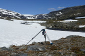
I continued over a low rise and walked down along the path towards the stream, noting two hikers making their way in the same direction ahead and to my left, where there was more snow. I met them at the ford, where I found out that they were scientists from the research station on the eastern shore of Latnjajávri, and as chance would have it they had been looking for a way to contact me since a couple of them would be coming down that same evening. They were putting up tripods with cameras taking time-lapse photos of the vegetation during the growth season, and a helicopter would bring more equipment the next day which they would proceed to distribute down in Gorsavággi, using the cottage as their base. Having sorted this out they went across the (easy) ford heading for home, while I went the other way.
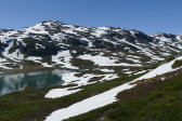
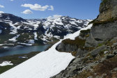
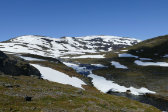
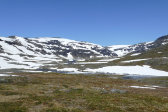
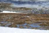
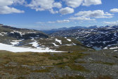
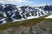
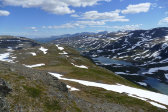
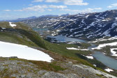
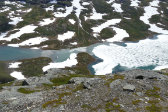
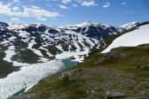
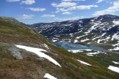
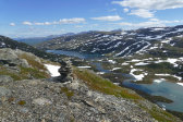
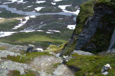
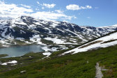
From that point I walked more or less due west, passing one of the nearby tripods, and then started ascending the slope to get a look at Latnjajávri and the continued route towards Lĺktatjĺkka. I passed over a larger snowfield in increasing wind and cloudiness, and came to a marked rise characterized by slate at 12:15 where I sat down for lunch. From there I had a good view of the lake, which was mostly covered by ice, and the upper parts of the valley were likewise mostly covered by snow.
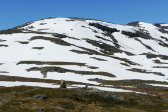
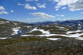
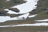
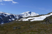
I made a quick excursion to the top of the rise, getting the lay of the land, and after resting some more I continued upwards. A very large snowfield was crossed by reindeer tracks, but seeing as how there was a deep crevice further up I took a safer lower route, and then continued up onto the next crest westwards. From there I saw Gorsačohkka rise majestically, but I would have to go quite a bit further to actually reach the bend and look down into the inner valley as I had done the day before.
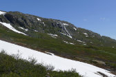
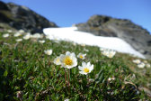
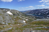
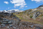
This I decided not to do, and instead turned around down towards the edge above Gorsavággi in the depression between the outrunner from Latnjačohkka and the rise making up the western side of the ravine. As I slowly descended more and more of the valley below came into view, including the cottage where I could see a single hiker approaching. I walked eastwards somewhat close to the edge, where the sense of height was palpable, passing both flowers, snowfields and the odd tripod. From the lowest point I headed up to the summit of the ravine rise, getting great views, and then proceeded down towards the top of the ravine.
I reached the path right above the steep snowfield, and after going up onto another nearby hilltop for more views I followed it downwards. I negotiated the steeper parts carefully, being reminded of my previous passage, and in the sky there were now quite a few clouds often passing in front of the sun. Once out of the ravine I could walk unhindered, and it was after 14:30 when I approached the warden's cottage.
« Return to Kĺrsavagge report
