Tuesday 14/7
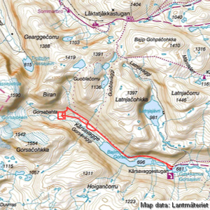
Gorsabahta
| Horizontal distance: | 14 km |
| Vertical distance: | +240 m, -240 m |
| Time: | 5 h 15 min |
| Lunch break: | 1 h |
| Dinner: | – |
| Night accommodation: | – |
| Stage classification: | Easy/Medium |
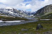
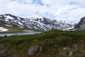
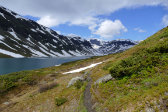
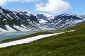
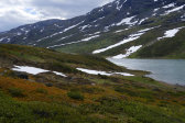
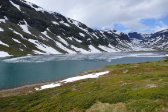
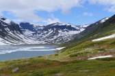
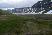
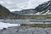
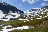
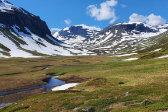
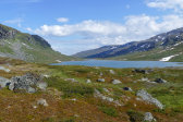
I took the upper path this time, which turned wet as soon as it had cleared the hills. Close to the start of (the first bay of) Bajimus Gorsajávri the paths converged, and as I rounded said bay I met the fisherman who had been over to the bend for a coffee; he was now heading back to get his gear before trying his luck in this upper lake. Several of the snowfields which had intersected the path on my last visit were now wholly or mostly gone, with wet ground in their stead, and in the sky the clouds held sway.
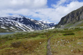
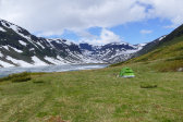
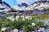
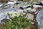
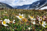
Up on the threshold I saw what looked like a tent further ahead, so I guessed that it belonged to the two guys who had passed inwards the evening before. The first bit was less flowery than last time, but then the bloom increased as I passed into regions that had been free of snow for a shorter time, which also made things wetter again. The tent was just that, standing on a nice little meadow; clothes had been left out to dry on/by a rock, but there was neither sound nor movement so I just went on.
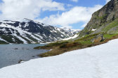
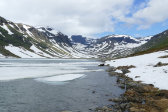
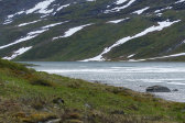
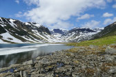
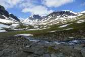
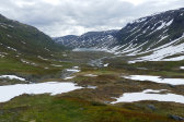
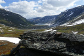
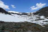
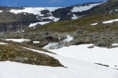
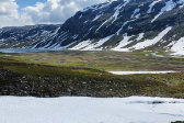
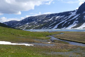
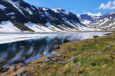
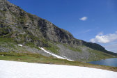
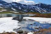
The ice on the lake had crept westwards and was now only present near the western end – and the delta was entirely free, albeit not very green. There were still a number of snowfields crossing the path, which gave no trouble, but the ground between them was wet or bumpy in large parts. A bit later the path went up among a scattering of hills, where I could make out traces of the Kĺrsavagge hut of old. Right next to that place was a metal signpost that held no signs, and from there a few cairns led up towards Guoblavággi.
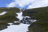
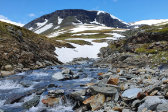
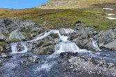
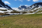
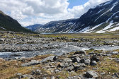
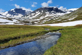
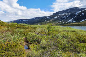
I continued on the path, which deteriorated as it passed through an area of rises, and then came out to a sizeable stream. There was a snow bridge a short distance above, but rather than chancing it I went downstream through a wide and rocky alluvial cone telling of previous violent torrents. There the stream split into two major courses, and I was just able to get across in the boots. I then made my way back up the slope at an angle as I proceeded westwards, walking over nice grass and heath which was however also fairly bumpy, and I had now also lost the path. Something I did find, however, was a curious brook that ran over a decidedly pink rock base.
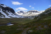
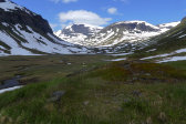
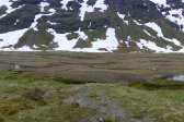
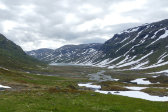
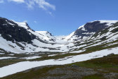
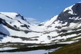
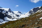
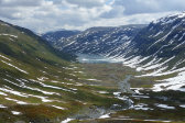
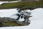
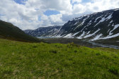
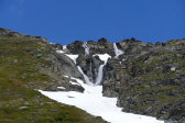
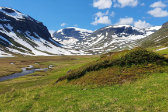
I reached the next larger stream just as it plunged under a high snow bridge which I did not trust, so I went upstream this time since a fork was situated there. The first arm was easy enough and the second was covered by a large snowfield which gave a much sturdier impression. Once on the other side I walked up among the hills of Gorsabahta as the sun started to break through a bit again, accompanied by a light wind. The last hill brought a full view of the glacier sitting in the end of the valley, Gorsajökeln, which used to extend far down to the floor in days of yore but has since retreated far up its niche; at the moment it was also completely covered in snow. Having looked at it for a while I returned to an adjacent hilltop with a better view of the delta where I sat down against a rock at 12:15.
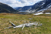
As I sat there the sun came out more and more, slowly spreading across the valley in front of me. After I had eaten I walked down to what some maps mark as a building, but which was in reality just a heap of wood nowadays, accompanied by some other traces of human residence. I returned up to my pack over a snowfield where I had to shut my eyes against the glare, and after standing around for a while longer I set off again.
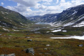
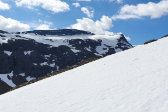
I aimed for the crest of the slope leading up to the nice valley between Biran and Guoblačorru, first going over a long snowfield which got steeper higher up, and then turning onto solid ground for the last bit. My route was such that I first got a good look at Gorsajökeln, and then I reached a spot where the niche opened up before me, half covered in snow still – and the way up to the lake on the high plateau above looked very steep. I then turned downwards again, passing another snowfield as I headed for a wide section of the stream I had seen from above.
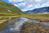
This section was situated below a group of small falls, and crossing was as easy as expected. From there I kept high up the slope as I continued eastwards, again finding no path – but again I found a colored brook, only yellow this time. I reached the Guoblavággi stream at the snowbridge I had eschewed before, and now that I was close I saw that it was sunken, so I followed the water downstream to the same fork where I had crossed on my way up. Water levels seemed somewhat higher now, but after moving around some rocks I managed to traverse both courses without getting wet.
Rather than going up to the path I stayed down at the edge of the delta, crossing one of the canals before it got too deep. I then walked on rather wet ground until I reached the "hut hill" where I rejoined the path, noting the presence of many a flower. As I approached the tent I also noted the presence of its inhabitants, who were precisely who I thought they would be, so I stopped to talk with them for a long while.
Having finally said goodbye (again) I marched on while the clouds shifted in the sky, but it was still sunny for the most part. The rock-and-shrub-riddled passage next to the easternmost bay of Bajimus Gorsajávri felt more wet and burdensome this time around, after which I made my own way down to Gorsajohka from where I followed the lower path. The last short bit was appreciably windier, and as I turned around the last hill around 15:30 I saw that there were quite a few people at the guest cottage.
« Return to Kĺrsavagge report
