Thursday 3/9
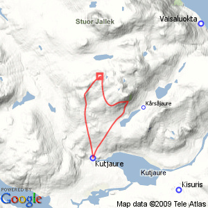
SiebertjŚhkkŚ/Allak
| Horizontal distance: | 18.5 km |
| Vertical distance: | +660 m, -220 m, +40 m, -480 m |
| Time: | 5 h 30 min |
| Lunch break: | 45 min |
| Dinner: | – |
| Night accommodation: | – |
| Stage classification: | Medium |
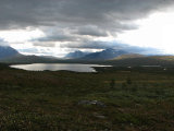
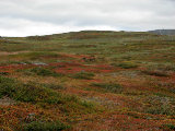
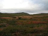
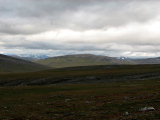
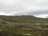
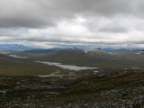
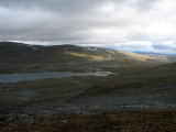
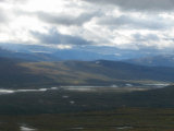
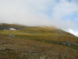
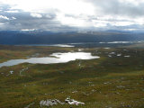
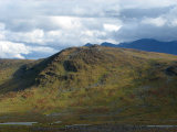
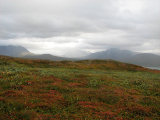
Since it was windy I wore the wind jacket and gloves as I walked along the upper path from above the privy. The further I got the fainter it became, and eventually I broke off and headed for the slope to the west, making easy progress across the high heath. In the slope itself the wind lessened, and behind me the sun played over various rises. I chose my route up according to the lay of the land and reached the crest without problems, coming onto a very nice stretch of colorful heathland where some reindeer were moving about. Here the wind picked up again, and now it was raining around MŠhttoajvve.
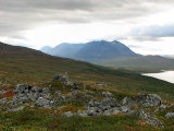
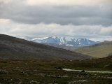
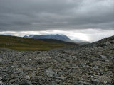
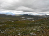
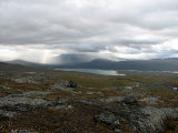
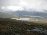
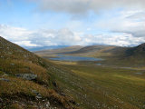
This rain was moving northwards while I made my way over to the start of the next slope, going up the highest of a series of small hills and then aiming for a tiny outrunner of SiebertjŚhkkŚ proper. The Norwegian GasskatjŚhkkŚ could now be seen, but its peak was hidden in the cloud cover. In the other direction the rainfall was growing, but it remained in place beyond GuvtjŠvrre, and off to the south visibility was far-reaching indeed. I reached a rock field where no less than six rock ptarmigans were hiding, and during the ascent of the following steeper portion the wind – which had grown considerably – was much lessened.
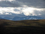
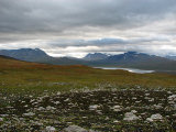
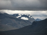
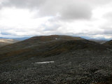
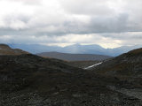
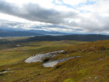
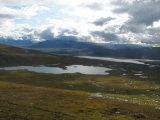
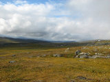
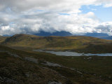
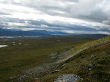
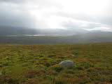
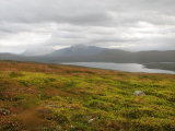
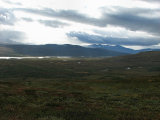
Up on the crest, however, it came back in full force and more at that, but the view towards Norway made up for it, even though it was starting to rain there as well – and more was coming in the far south. Having attained this sight I walked towards the next rise on the broad and flat ridge, keeping just east of the highest parts. I passed two little pools, and close to the second there were good campsites, but under the present circumstances the ground was a bit too wet for comfort.
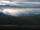
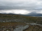
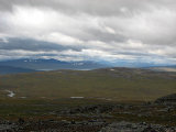
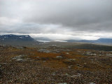
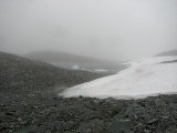
I then came to a snowfield which had turned into something very much resembling pure ice, so I had to go around it before I could proceeded up to the 1223 point. This too was a rather flat and loosely defined "summit", but the lack of a top cairn of some sort was still a bit surprising. Rather than making one myself I went on down a little ways on the other side, looking at a small sunlit region moving from Stuora JŚlle to SjvŠlltjŠ. The wind was very strong, and when I found a sizeable rock at 11 I sat down on its lee side, taking out the fleece jacket right away.
While I ate showers passed on either side, and some drops reached my location as well, but they mostly just blew over (literally). When I started to feel cold I got up and jogged a bit, during which I saw two new showers approaching rapidly from different directions, so I returned to the rock and hunched down in its protection. The worst of this rain quickly passed, but it would not quite let go. The clouds over Stuora JŚlle were descending with alarming speed, and only then did I realize that a dense fog was sweeping in fast, coupled with more rain. Not particularly fancing the idea of being caught in an embrace of impenetrable whiteness I swiftly put on the rain trousers, but when I got up to leave the fog was already covering the little vale between SiebertjŚhkkŚ and Allak.
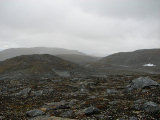
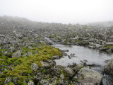
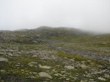
Since this was supposed to be just a "tour in the neighborhood" I had left my compass in the cottage, so with no visual aids save what could be discerned within a radius of perhaps a hundred meters at most I had to trust to my memory and sense of direction. I walked briskly, at first going towards a couple of nearby pools, and when I came to the start of some marked hills I turned right on mostly stony ground. Soon I caught sight of something which at present looked like a miniature glacier lake, with miniature icebergs floating in it to match, and the whole scene with the mist and all felt both acutely inhospitable and intriguing at the same time. As for myself, I felt dead calm – I was well acquainted with the map, and all the time I was confident about my bearings, having a clear sense of where to go – and this was hardly a threatening situation to begin with anyway.
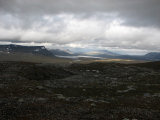
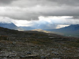
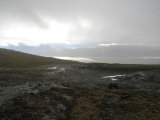
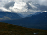
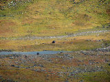
In less and less rain (which still affected the camera lens, as can be seen below) I held a calculated course across undulating, stony ground, making adjustments from the general inclination, what side slopes I could see or guess at, and the appearance of a brook source. This brook I followed downstream as it grew, and when I got lower visibility increased slightly and the wind decreased. I passed a larger water arm and then spotted some pools ahead which allowed me to pinpoint my current position with some accuracy – and I was pleased to find that in the way of a wizard, I had arrived precisely where I meant to. I crossed another brook and then the mists started to part at last, and I could make out GuvtjŠvrre and the lowland, which enjoyed a bit of sunlight at the moment.
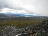
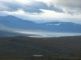
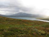
I made my way down a sudden steep slope with some caution, and it was very apparent from the look of the ground that a good many reindeer had done the same not too long ago. I continued out to the nearby edge overlooking GŚrssŚjŠvrre and its valley on pleasant grass, and now the sun was shining on me as well. At the edge I took off the fleece jacket and the rain trousers, as neither was needed any longer, and paused for a while. It was now pretty fair again, although behind VastenjŠvrre there was more rain. Closer by I looked out over the trail on the other side of GŚrssŚjŠvrre, but saw nothing except reindeer.
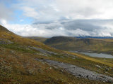
Since I still had a good deal of time to spend before I needed to return I decided to go upwards again, and as I did so the remaining low clouds in the immidiate vicinity quickly lifted. However, they refused to let go of the summit of Allak, and seeing as how climbing back into this cloud was not really attractive to me I soon aborted my ascent. The slope had grown steep, and I did my best to maintain my altitude as I went on ahead, after a bit going down a little to a small ledge in the grassy side. Other than grassy it was also slippery at places, and at one point I nearly fell due to a wrong step. When I had come far enough to get a full view of GuossjŠjŠvrre I turned around, descending at a shallow angle where the shape of the slope so allowed. I passed many a small brook, and at length came down to an area of bumpy wetness.
From there I kept my distance to GŚrssŚjŠvrre, going over some low hills to the mire I had come to on my last outing, and also this time there was a reindeer running across it. Using the sizes of the splashes it made while doing so as a guide I went out on this mire, managing to find a good route across, and before long I found myself at AllakjŚgŚsj just above the start of the cliffs. Here it spread itself wide over many stones, so getting across was straightforward, and after that I kept going high, as it were.
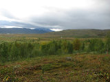
A bit of higher heath and low shrubs impeded my progress at times, and more reindeer stepped out of my way as I approached. A light shower was ongoing, but it soon moved off towards the east, and things got lighter again. To my surprise I found a few lingonberries just above the start of the little forest – confirmed by tasting – and then I found a reindeer path that let me reach and cross the brook in this little forest without too much hassle. Also on the other side I could find openings in the bushes, and I was almost out of the woods (har, har) when I made a wrong step that was severe enough to cause a light ankle sprain; there was some mild pain, but the foot remained stable and usable.
While I was crossing the last little mire before coming back to the trail it started to rain again, and I increased my speed. In very short fashion a strong wind came into being, and the rain intensified, so it was just moments before I was completely soaked and feeling rather cold. This was the third time in a row that I had managed to hit rainfall during the last minutes of a tour in this direction, but this was considerably worse than the previous two times. Impeccable timing it was, too, for when I burst into the cottage around 14:15 it was already getting lighter from the west.
« Return to Kutjaure report
