Wednesday 26/8
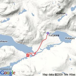
Sállohávrre
| Horizontal distance: | 17 km |
| Vertical distance: | -40 m, +40 m |
| Time: | 4 h 45 min |
| Lunch break: | 30 min |
| Dinner: | – |
| Night accommodation: | – |
| Stage classification: | Easy |
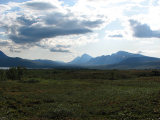
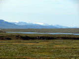
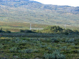
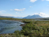
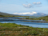
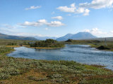
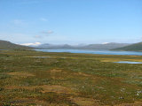
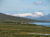
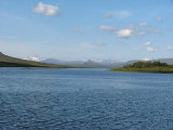
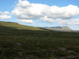
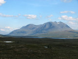
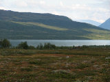
It was quite warm already, and it got warmer as I progressed along the trail, with the sun shining unhindered. Not much occured during the walk, except for my literally scaring a willow ptarmigan shitless. Just beside the trail at a long bay jutting out from Vuojatädno there was a tent, and though I thought I could see someone inside it that someone stayed hidden until I had passed. Gasskatjĺhkkĺ (the Norwegian one) showed up rather nicely from behind the western rises – something I had missed when I walked this stretch on my way to Kutjaure – and later parts of Reinoksfjellet also came into view.
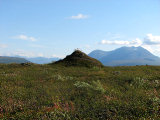
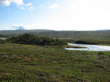
The northernmost bridge was as unstable as last time, and immediately upon reaching the other side of Varggá I turned off along the path leading to the Sállohávrre Sámi encampment by the lake of the same name, but before long I left that too and aimed for a steep hill a short distance away from the large bridge. This involved going through some low shrubs and wet patches, and while climbing up onto the hill I ran into a good many blueberries of larger make. Up on the flat top of this hill there were a good many bushes and small trees, but finding my way to the other side was not in any way difficult. Here there was a little outrunner of sorts which I followed, and then I passed through a thicket to reach the shore of Vuojatädno.
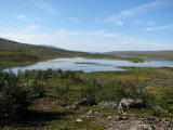
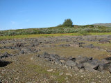
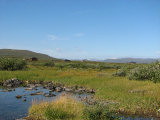
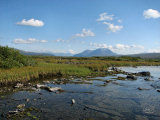
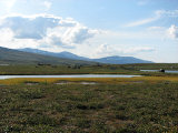
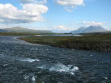
I had read that there was supposed to be an old Sámi sacrificial site somewhere around here, but I never found anything of the sort all day; perchance something could have been hiding in the vegetation up on that hill. I followed in the tracks of reindeer upstream on this shore to a place with interesting stone patterns on the bottom of something which was not presently a pool, and then bustled through more semi-high undergrowth. A passage of dense osier followed, which was easier than feared, and I came out to a swifter section of the river. Here I stepped out onto some larger rocks and sat down close to the water around 11:45.
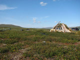
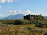
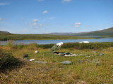
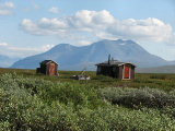
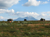
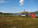
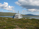
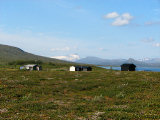
It was now really hot, but I sat still for some time anyway after having lunch; I even managed to lie down on the rock, and not uncomfortably either. When I left this calm place a light wind had started, but the power of the sun was undiminished. I walked over to the closest buildings of the encampment and looked around; everything looked firmly shut, and nowhere was there any sign of human presence. I followed various footpaths through the extent of the village, studying the layout and make of the houses and huts – the whole thing was a curious mix of really old and really new structures, but the former seemed to outnumber the latter. Now clouds were passing in front of the sun, and I myself passed out onto a small headland with some buildings kind of off to the side. From there I crossed a cloudberry mire and ended up on the path leading to/from the main trail, which I left close to the end/beginning and headed for the middle bridge.
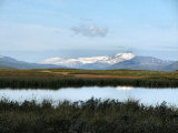
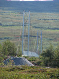
On the other side of this I went over to the place where I had paused for lunch last time around, and then sat down by the water for a bit. It was quite some time before I realized that there was another person sitting on the opposite shore too, but I could see no one else at the moment. I then walked over to a pointy little hill that makes up the northern end of the island that in turn constitutes the western landing of the great bridge to get a better look at Vuojatädno and Áhkká. Back at the campsite I saw a trio making their way across the bridges from the north, and I waited for them to complete the transit before beginning my own.
The sun was now hidden by a large cloud, which I was thankful for what with the heat and all. I still walked somewhat slower than before as I headed back, and when I passed the place where I had seen the tent it was gone – and I can't say that it was a very good/comfortable spot in the first place. More clouds were amassing behind the southeastern peaks, but further ahead of me it was still sunny and fair. The last few kilometers felt a bit tedious and/or burdensome, and without even having found a bird to frighten I came back to the cottage at 14:45.
« Return to Kutjaure report
