Friday 21/8
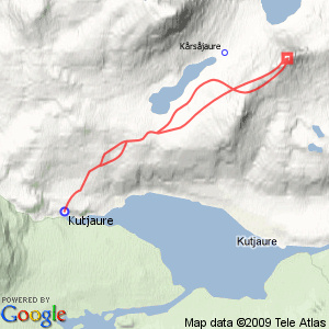
Gasskatjåhkkå
| Horizontal distance: | 17 km |
| Vertical distance: | +560 m, -560 m |
| Time: | 5 h |
| Lunch break: | 1 h 15 min |
| Dinner: | – |
| Night accommodation: | – |
| Stage classification: | Easy |
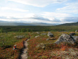
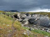
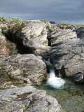
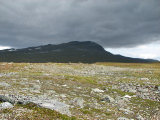
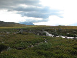
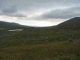
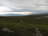
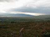
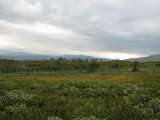
I maintained a fairly high tempo, which quickly warmed me up as there was little wind. The trail passed over nice heathland that had begun to show a few autumn colors, but suddenly a strip of leafy forest around a small brook appeared. There was a lot of sun haze in the air, and dense clouds were approaching swiftly from the south. Close to Allakjågåsj I spotted a couple of good campsites, frequented or not, and then came to a bridge that at present was wholly unnecessary; the stream was small enough to take in stride, and the little canyon over which the bridge had been laid could even be leapt across in at least one place.
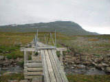
Between a couple of smaller wooden bridges soon thereafter there were nice patches of grass, but otherwise the terrain was getting stony, and bumpiness was a general feature. The sun was just passing into the cloud front and in the far southwest a thicker haze waited. I then came to another bridge, which also appeared unwarranted, especially given its peculiar construction; it was high and stilted and spanned a mere rivulet, although it was apparent from the dry rock course that during the spring flood it probably served its purpose. Shortly after crossing this bridge I left the trail and aimed for Muvrratjåhkkå.
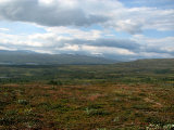
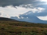
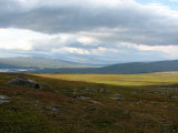
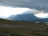
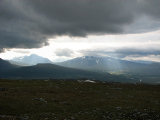
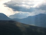
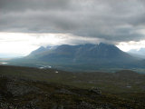
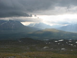
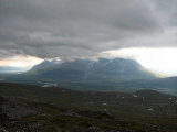
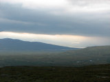
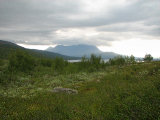
The ground mostly consisted of soft heath, but when the upward slant started it got bumpier again. Here the sun made a brief visit, and while the southern haze was drawing nearer it was also getting thinner, giving rise to an intriguing light. Áhkká was just disappearing behind Muvrratjåhkkå, but I had time to see that it was in the process of being wrapped in cloud. I proceeded upwards at a shallow angle, which grew even more shallow after I had passed some small grooves.
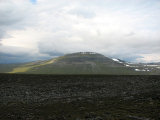
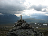
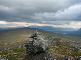
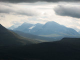
Here I walked on pleasant grass in a wind that was a bit chilling, but not overly so. I climbed up onto the northern rise of Muvrratjåhkkå, on the other side of which Áhkká gracefully rose, albeit now piercing the clouds. From there I continued along the ridge to Gasskatjåhkkå, taking an easterly route up onto a subpeak, where a strong wind blew. I then walked west of a rock formation and reached the highest point before 11:15, where I immediately put on the wind jacket and sat down in the shelter of the rock supporting the top cairn.
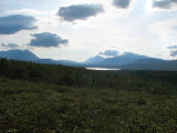
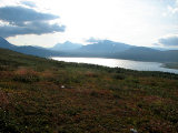
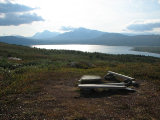
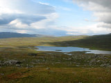
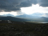
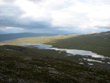
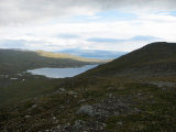
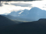
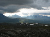
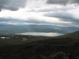
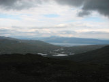
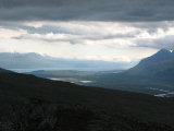
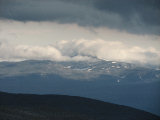
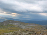
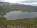
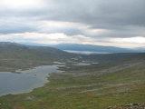
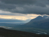
Sunlight was falling upon Sjnjuvtjudis and its vicinity in a pretty way, and further off the light on Vastenjávrre was astonishing. In the other direction it was still light since the cloud bank was only just reaching Sjöfallsdalen, even though a good deal of creeping clouds occluding a good many peaks. Finally, in the direction of the Norwegian border conditions looked bleak, so I focused my attention on the light show going on in and around the Swan valley instead. After having lunch I walked down to the western edge of the steep slope – or actually edges, since when reaching the first one I saw that there was another a little bit further down. From there I had a good outlook on the trail along Guossjájávrre, but I saw no movement upon it. Back up at the top I took it easy for a while, hiding from the strong wind, and when the light faded I decided to leave, still wearing the wind jacket.
I walked on the eatern side of the ridge, on wet ground at first and then grass east of the northern rise, south of which I crossed over and started the descent into the valley below. Here the slope was pretty steep, but I still had grass under my boots and I encountered no problems on the way. The wind had died down, but when I reached the trail it picked up again. Said trail was in good condition, even though the terrain was rather uneven, and at one point I found some cloudberries that needed to be eaten. Having come to the place between the wooden bridges I broke off the trail, at times following old marking cairns and path fragments to Allakjågåsj, the fording of which was as easy as they come. On the other side there was a clear path which lead me back to the trail, which I followed from there on. The sun was altogether gone, and just after I had passed the band of trees I felt the first drops, and in a growing drizzle I hurried my steps, coming back to the cottage around 14:15.
« Return to Kutjaure report
