Sunday 25/7 – part one
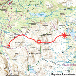
Lunndörren – Anaris
| Horizontal distance: | 17 km |
| Vertical distance: | +380 m, -200 m, +60 m, -200 m |
| Time: | 5 h 45 min |
| Lunch break: | 30 min |
| Dinner: | – |
| Night accommodation: | – |
| Stage classification: | Easy/Medium |
| Map points: | Lunndörren, Pyramiderna, Anaris |
I went out into the night just to see the moon rise to the south, and it was otherwise clear and still. After that I slept well until 7, and having gone for a little round outside I started packing up. It was a still and warm morning with light clouds, and I had breakfast outside after retrieving my food items from the earth cellar. I said goodbye to the wardens and left around 9, at which time the light clouds had started dimming the sun from time to time.
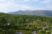
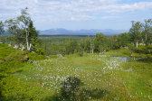
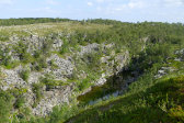
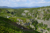
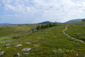
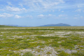
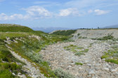
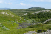
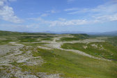
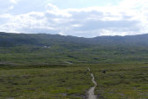
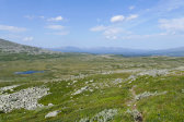
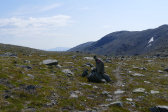
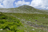
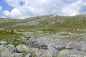
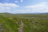
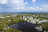
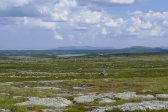
A short distance up the slope along the trail I passed a camping couple with a dog the barking of which I had heard earlier in the morning, but apart from their spot the path passed over bumpy and hilly ground. Even though the sun was mostly clouded there was barely any wind, and the air felt somewhat stuffy. After passing through a nicely verdant section and skirting the large ravine beside Lill-Gröngumpen I noticed three other hikers in front of me, but they had already turned off towards Grönvallen. I employed the well-trodden (and marked) shortcut across the stunningly flat gravel plateau towards Issjödalen myself, and now the sun was passing out of the clouds for the most part.
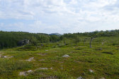
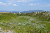
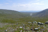
Grönan turned out to be completely dry, which continued the trend of, well, dryness that had been growing for some time. I proceeded out towards the edge of the plateau to look down into Issjödalen, and then skirted said edge to the trail split above the valley's end, passing by kettles of various sizes. Right beside the signpost were a couple of shoddily erected and currently unoccupied tents; I had seen some people down by Issjön shortly before, so perhaps those were the owners. I went down a short bit into the shallow ravine making up the end of the valley to refill my flask from the small stream that sprang there, and then pressed on towards Anaris.
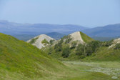
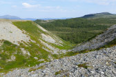
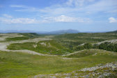
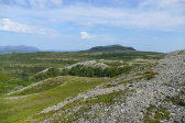
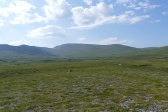
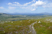
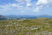
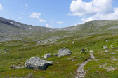
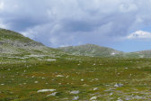
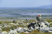
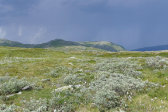
A wind picked up as I climbed over the low hills at the start, which felt awfully nice, and then I found myself at a sudden sharp drop which I negotiated with care. After that there was less gravel, but no more moisture, and soon I started ascending towards the pass between Aaresketjahke and Stor-Anahögen. It was fairly strenuous going, but as I progressed the views grew in breadth and splendor to compensate. I met a young runner going down, and after passing what looked to be a tent-friendly grass shelf with a small brook another man came down the trail. Close to the crest I came across three more runners – the rest of the family of the first one – and then I finally reached the flat pass which extended for a few hundred meters before the terrain started slanting down on the other side.
The first bit down was rather stony but not difficult, and just as I had cleared that section I ran across Birgitta, the previous Anaris warden, right about where I had expected to. We did the switch then and there, with me receiving the keys and the cottage mobile phone and some fresh info and tips, and while we talked we observed several lone reindeer, including calves, running to and fro. Eventually we went our separate ways, and just after I had descended the next, steeper part down into Hällådalen I found a nice little brook cutting across level grassland where I decided to stop for lunch as it was now precisely noon.
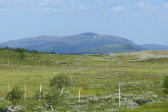
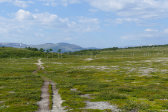
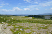
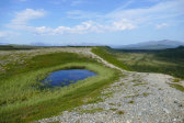
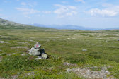
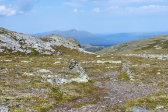
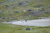
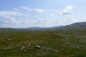
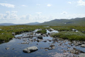
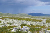
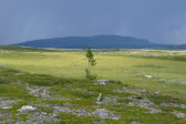
It was very warm since there was virtually no wind, but billowing clouds had started to grow in the sky, with the forecast thunder a looming threat. Just as I was leaving two other people headed up the slope, but other than that – and some more speedy reindeer – there was no one around. The first bit was somewhat muddy and then the ground turned dry and strewn with rocks, but the path was clear and easily trodden for the most part, even though it sometimes almost disappeared when crossing a wet patch or semi-extensive mire. The heat was pressing, with only an occasional gust for relief, but after I passed the crest opposite Tjearmehketjoele it got a bit windier. A couple of people were resting – and bathing – at one of the cute little pools formed by the tributary to Hällån in the following hollow, which itself was easily passed.
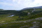
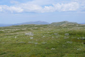
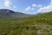
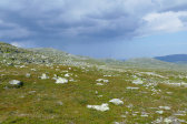
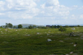
The continued path up Tjielkenjuenie was mostly dry, and as I ascended I saw more of both the southeastern expanses and of the darkening clouds to the north. Having crested the rise I caught sight of the cottage still an appreciable distance away, and now I could also see actual rainfall further off to the north, so I upped my tempo. As I was passing over ground that shifted between dry and wet I heard a thunderclap, and a bit later I also had the opportunity to count the interval from the preceding flash, which placed it about 8-9 km away. The sun was mostly gone and the wind was now substantial, carrying with it the scent of rain, but the dark region looked like it was remaining north of the plain, slowly passing eastwards.
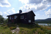
As I was covering the final distance, feeling somewhat worn, I observed some people near the cottage, one of whom I met on the trail, and he asked about water access along the route I had come. The other two I passed shortly before arriving, and from their lack of pack I assumed they were the couple who Birgitta had told me would be staying another night. It was before 14:45 when I finally walked up to my abode-to-be, slightly unexpectedly having escaped the rain entirely.
