Saturday 10/9

Njerrem – Unna Reaiddávággi
| Horizontal distance: | 19 km |
| Vertical distance: | +100 m |
| Time: | 7 h 15 min |
| Lunch break: | 45 min |
| Dinner: | Beef stew with rice |
| Night accommodation: | Tent |
| Stage classification: | Easy/Medium |
| Map point: | Vassakĺtan |
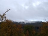
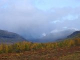
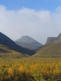
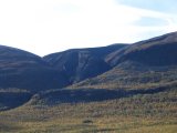
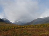
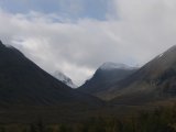
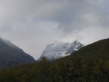
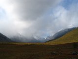
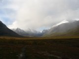
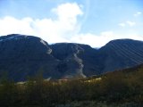
I woke up early, feeling cold, so I put on the thermal underwear and lay until 06:45. There was a fair amount of condensation on the ceiling, and the air was chilly. I got up and looked at the sky – cloudy, but with a bit of blue here and there. The upper regions of the valley were again mostly concealed in mist, but the haze was shifting even as I was looking at it. A refreshing morning.
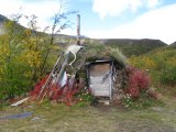
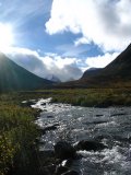
I had breakfast, packed up my things and was on my way at 08:45, to a slowly clearing sky and a light wind. After just a little while, I came to the Márffigorsa stream (note: this is not the name of the stream itself, but of the ravine through which it flows down into the valley – the stream is not named on the map, but from parallel evidence I would presume that it is to be called Márffijohka). The water was a bit too deep (but mostly still) where the trail crossed it, so I followed a smaller path downstream through the bushes, and quickly reached a more shallow part. I still had to jump over a deeper portion to get to it, though, making a bit of a splash. Right after the stream, I got to the sign marking the upper boat landing, by which there was a simple temporary hut, presumably for the benefit of people waiting for the transfer.
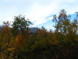
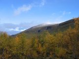
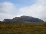
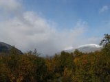
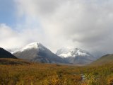
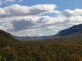
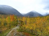
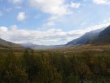
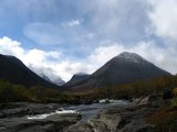
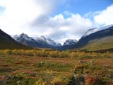
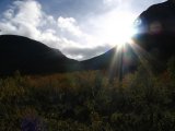
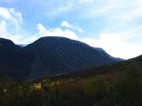
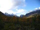
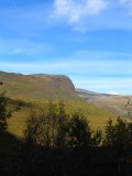
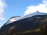
A bit further along the path, I smelt smoke, and the proverbial fire soon came into view. I first thought that perhaps it belonged to the hunter from yesterday, but it was actually three campers and a dog. The sun gradually broke through the clouds as the morning progressed, bringing the colors to full life. I also saw a helicopter over Gaskkasvággi, heading south; I'm not sure what its errand might have been.
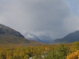
Later, I realized that there were small drops flying in the air; I only spotted them when turning around to face the sun, thereby seeing the reflected light. There were no clouds overhead, but a wind from up the valley was picking up, so I suppose that the drops were blowing in from the mist still present ahead. The density of this not-quite-rain increased as I continued northwestward, but never reached a level high enough to merit a clothes change or rain cover placement. I met two hikers with a dog, and then a lone man. When I was ready to pause for lunch, chance had it that I had reached an area where no streams of any size crossed the trail, so I had to go a kilometer or so further before I found a small brook. I broke off from the path and wandered a bit into the forest to find a sheltered place, and at 11:45 I sat down to eat.
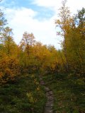
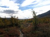
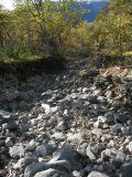
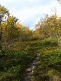
After lunch, the drifting spray changed to light hail – or hard snow – but remained mostly unobtrusive, and the wind continued. After walking for a while, I came to a wide stone bed with just a trickle at the bottom, where there is obviously a rapid stream at springtime. Getting across was easy enough, but I couldn't find the trail again on the other side. I started walking into the forest, zigzagging as I went, but it soon became obvious that the main trail was not where I was. I then decided to go upwards, both because that is usually a good thing to do when your location is uncertain, and because the terrain was such that that is where I would have drawn a trail had I been involved with it. Sure enough, after a fair amount of climbing I was relieved to come across the trail again – not that actually getting lost is of particular concern in the valley, but there are large patches of dense vegetation which are hard to impossible to penetrate.
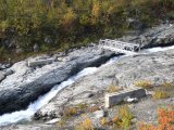
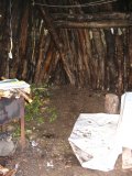
Before long, I had reached Vássajohka, which is significant enough to require an actual bridge. The old bridge was taken by the gushing water several years ago, but there is a smaller replacement in place. At that site, on the eastern side of the stream, there is an old hut of classic build. Although somewhat deteriorated, it is still in fairly good shape and could well be used as emergency shelter – there was even a package of freeze-dried food inside which someone had left behind. I paused there for a while.
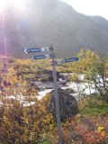
Before leaving, I finally yielded and put on the rain cover. And, naturally, as though ordained by Fate, the rain/hail/snow stopped shortly thereafter. I was soon at the lower bridge over Visttasjohka, where I saw the first distance signs since the main road the day before. It did nothing but add to the confusion – now the distance Nikkaluokta–Vistas is 29 km? (To add insult to injury, the distance in question is also given as 34 km on STF's overview maps.)
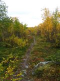
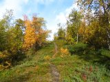
While I was standing at the bridge, there was one last burst of hail, and then nothing for the rest of the day. I followed the trail to the Kaskavagge shelter on the other side until it reached a sign saying, "Bridge, 1 km", where it made a sharp turn to the southeast. There was also an old trail leading off northwestward, which I took; it wound through the forest, growing more and more obscure by the pace before finally degrading to what might well not have been made by humans at all. It wasn't long, however, before I could hear the stream coming from Unna Reaiddávággi, and then I stood on its brink.
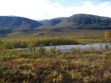
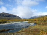
And there I remained. The stream was much too wide, deep and rapid to get across without getting soaked. I went up and down the brink for a while, but the conditions were roughly equal everywhere. A bit downstream, however, there were two large cairns on either part of the water, obviously marking the designated ford of the old trail. That was as good a place as any, and the weather was fair, so I acquiesced and changed into the sandals, rolled up the trousers and prepared to get numb feet. It was, however, not that bad; I mean, it was certainly cold, but not diabolically so. I even shambled along in the wet sandals across a 50–100 m patch of heath to get to the next arm of the stream – there were several, and there was no point in doing the whole shoe-changing procedure all over again.
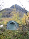
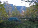
After the double ford, I crossed a wide open area of heathland, aiming for the shelter of the trees ahead for camping purposes. In doing so, I discovered a large paw print in a patch of clay – my first thought was "bear", but what do I know. Wolverine, perhaps. Immediately after getting in among the trees, the path (which was clear again) crossed a tiny brook, so I broke off and started looking for a suitable clearing. Not far up"stream", at 16:00, I found one and set about pitching the tent.
Since the ground in question had a small inclination, I wanted to align the tent so that my head would be higher. However, that would mean having the entrance facing the wind, rather than the rear side, but I went ahead anyway; it wasn't really blowing that much. It also gave an instant advantage – the floor of the inner tent was all wet from having been in contact with the damp ceiling, so I opened everything wide and let the breeze work on it.
In the meantime, I went looking for some stones to secure the guylines with (which wasn't all that easy, for the terrain was surprisingly lacking in the stones department) and boiled water for dinner. While waiting for the food to get properly saturated, I carved a crude handle on the walking stick, as it had been irritating my palms. I then ate at 17:15, by which time the tent was almost dry, so I mopped up the last moisture with the towel, which I then hung on the little internal clothesline to dry.
I spent the rest of the evening inside the tent, wrapped in the sleeping bag; with the sun behind Reaiddáčohkka, the temperature dropped steadily, and there were some irregular bursts of wind. I played solitaire and started making another crossword (available here, in Swedish). Later on, I had a full evening snack and turned in at 21:15, reading for a while to the sound of light hail on the canvas.
