Friday 25/7
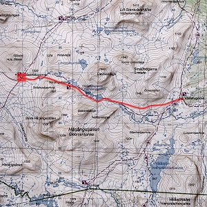
Gåsen
| Horizontal distance: | 28 km |
| Vertical distance: | +240 m, -40 m, +40 m, -240 m |
| Time: | 8 h |
| Lunch break: | 2 h |
| Dinner: | – |
| Night accommodation: | – |
| Stage classification: | Medium |
| Map points: | Härjångsdalen, Gåsen |
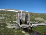
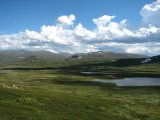
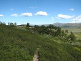
The water-burn gave me some trouble during the first hundred meters or so, but then it faded below the threshold of perception. I passed one of the pairs that had just left almost at once, holding a much higher tempo than they due to 1) a longer stage with a time limit 2) a negligible pack. The trail was good and included a number of duckboards, but after a while the vegetation turned shin-high, which at times was somewhat painful for my bare legs.
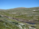
As I was passing into Härjångsdalen the ground got wetter, and seeing as how it was now warm and dry across the board I could well imagine this to be a cumbersome portion under worse conditions. The stream between Gruvsmällen and Lievkiesåajja was not unsignificant, but its passage was still a fairly simple matter. I then came across a couple who had spent the night at Härjångssjöarna further up, and we spoke for a bit; when I asked them about the nearby ford across Härjångsån they said that the water had been "thigh-high" part of the way, but that they had gotten over safely. The trail soon established contact with said stream, tracing its course until said ford, and all the time I kept an eye on the water in case there was a better crossing point that had been overlooked.
I came to the official ford, which was marked with orange sticks on the far shore and a stained stone in the middle of the stream, but looking upon it I much questioned the wiseness of its placement. Indeed, as I let my eyes wander upstream I immediately identified a considerably simpler location some 50 meters or so further up, just below the outflow from the lowest of Härjångssjöarna, so I went over there instead. Sure enough, this crossing was as easy as they come, and in short fashion I was on the other side without removing my boots. Thigh-high indeed!
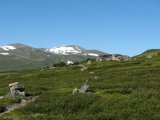
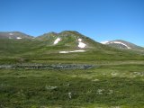
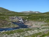
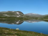
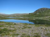
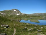
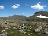
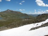
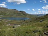
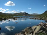
I returned to the trail which follows the lake closely for a bit, and here there were fields of both rock and (melting) snow. Apart from some wetness from the latter the terrain was back to open heathland and I could pick up speed again, but after passing a few more of the beautiful lakes the trail started climbing the slope on my left-hand side, and now the ground grew increasingly stony and uneven. I passed fairly high above the Härjångsdalen shelter which lies by the winter trail, feeling thankful for some gusts of wind in the pressing heat. I then came to a rockfield consisting of medium-sized stones over which a small brook splashed its waters, and since the trail markings went straight up in this brook I chose a different route to avoid slipping.
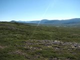
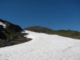
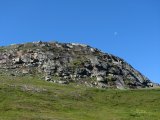
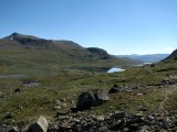
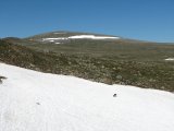
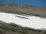
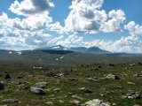
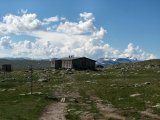
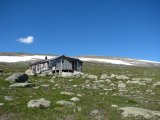
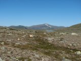
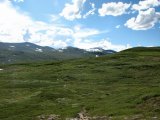
Next followed a large snowfield with a single reindeer on it, and it regarded me attentively as I passed, but having decided that I posed neither threat nor interest it dismissed me and went back to whatever it was doing. The last bit up was a bit more arduous and stonier still, but then I reached the highest point from where first Sylarna and then Helags entered my field of vision. I also saw a single hiker below heading in the direction of Kleavetje, and over there boasted the mighty rise of Västra Bunnerstöten as well. As I walked the last distance down to the Gåsen cottages at 11:30 I noted some cumuli forming behind the high massifs, so the afternoon would probably see a fair number of them overhead.
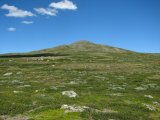
On the yard Håkan, Ingrid and their Jack Russell Terrier Iris were sitting at a table enjoying their last day – and what a day it was. I have always like the Gåsen cottages for their extraordinary view (in clear weather...), but this was the first time I had visited them in summer, and I must say that the surroundings were greener than I had expected; in fact, I was reminded of Vaimok. A light wind was blowing, but it was against the searing sun that I put the jacket on.
We talked and talked while I had lunch, which was fortified by various food items given to me by my colleagues, and during this several groups arrived. As it turned out they had had a scare that very morning, when a woman had fainted and hit her head on a rock, and she had just been carried away by helicopter, in a groggy state. Then a couple of campers came from the direction of Stensdalen, and they joined us at the table. Since it was their last day Håkan and Ingrid were in the middle of their cleaning-up (their successors were en route from Stensdalen), so they went on with this one at a time while the other relaxed outside.
Now the clouds were definitely approaching, but there were no signs of thunderheads yet. I went inside to have a look at the wardens' residence – and was struck by amazement! I had thought that Sitojaure offered the best warden housing, but this was an actual apartment, with an actual bathroom (not connected, of course). Wow. I also paid a visit to the store and spoke some more with Ingrid who had been recalled to duty by some customers. I then packed up what little there was to pack up, said goodbye and started the trek back, again without a shirt to get an "even burn" as I was now going in the exact opposite direction.
It was now noticeably warmer, but I had not walked for long before one of the clouds passed before the sun and made things more comfortable. I maintained (or restored) my high pace, feeling rather fresh despite the "discharge" of the forenoon. In the slope there was a little bit of wind, and there the sun was making frequent appearances. When I reached the snowfield the reindeer was gone, and so were – very nearly – my footprints from just a few hours ago, which gives some idea of the weather. Back down on "flat" ground I met a trio who had left after me, having walked much more slowly, and I related a status report to them.
When I was approaching the ford I did not quite recognize "my" crossing from this side, but it was of no matter since it was an area rather than a line. I thought that I could still try to mark it somehow, and as it happened there were some sticks lying about close to the water, so I raised a wooden one in what seemed to me a good spot. Getting across was just as easy this time, even though I noticed that I had chosen a different route in the water this time, and on the other side I started making a small cairn on a large rock before I found yet another stick for raising.
The sun was now out in full and made walking very hot for a while. I crossed the intersecting stream further down than before, below a little waterfall, and here it was even easier; there are paths leading to both places, and last time I had without thinking about it followed the upper one, whereas now I had taken the lower one. At times more clouds were passing overhead which was of course most welcome, and when I was about to exit the valley I was greeted by an appreciable headwind. In the following wet area I somehow managed to lose the trail and unintentionally took to the bushes, but when I started looking I soon located some duckboards. Just after I laid eyes upon the cottages a large cloud covered the sun and the wind was although subdued still in play, so the remaining distance was comfortable. At the base of the last slope up from Sturebadet the sun reappeared, and I was finally back home after a long but positively awesome day at 16:45.
« Return to Vålåvalen report
