Tuesday 22/7
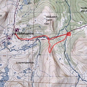
Tronnan/Gråsjöfjället
| Horizontal distance: | 14.5 km |
| Vertical distance: | -160 m, +380 m, -300 m, +80 m |
| Time: | 5 h 15 min |
| Lunch break: | 1 h 15 min |
| Dinner: | – |
| Night accommodation: | – |
| Stage classification: | Medium |
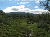
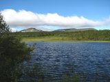
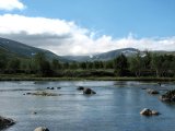
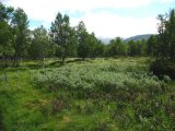
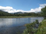
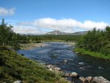
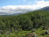
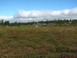
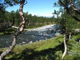
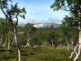
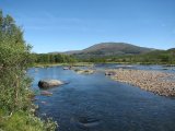
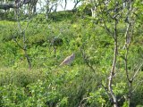
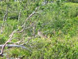
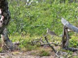
The wind quickly decreased, so I soon removed the gloves. The sky was also getting clearer by the minute, but further ahead the clouds were still low. Having walked but a kilometer I encountered a couple of hikers going in the other direction, and I also caught sight of whimbrel-like bird; a previous guest claimed to have seen one, so perhaps he was right. After the initial sparse woodland the trail passes across an open expanse, and here the ground was fairly wet. Then it was back into the trees until I reached Vålån, by the shoreline of which the trail runs for a bit. The vegetation changed into meadow-based birch forest fortified by osier, but the ground was bumpy as ever, so still not camp-friendly; here I removed the jacket as it was now rather warm. Then the trail climbs into the forest again before going down to the suspension bridge over Vålån, at the near base of which there was one (1) very good campsite.
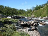
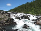
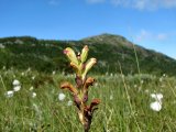
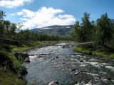
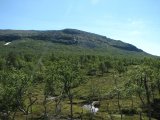
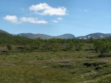
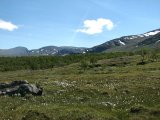
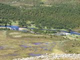
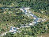
Once on the other bank I backtracked along the winter trail a short bit, and then turned around and up, coming down again at the trail split sign. From there I went on a little ways before heading down towards the stream, by which I found some grassy patches that would do for tenting. I then continued close to the water past a somewhat steep slope, coming out onto an open region consisting mainly of naked rock and the like, but there were a few smaller patches of heath that again triggered my camp-eye. Vålån itself was growing more rapid for every meter, culminating in a series of small waterfalls. Here the bank grew steep again and I climbed up the slope to the trail, which I followed from there. I crossed a couple of small mires and then came out onto dry heathland where there was a bit of wind. A batch of trees followed and then I came to the bridge over Tronnan, which is somewhat unusual in its construction.
On the other side I went up onto a nearby hill to the left where pines grew; on that side the terrain was parching dry, whereas to the right it was more boggy. I took off my rucksack and walked around a bit, finding nothing particular worthy of note (also with regard to possible campsites). I then sat down in the shade of the high branches for lunch, as the sun was now most warming, and then remained in that place doing nothing at all for some time. Eventually, though, I got up and walked off in the other direction, which yielded similar (lack of) results. The time was 13:00 when I put the rucksack back on and returned over the bridge.
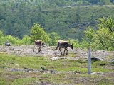
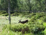
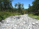
Immediately after said bridge I followed Tronnan upstream, for quite some time being "led" by a fine specimen of Rangifer that apparently got something out of walking some distance ahead of me. There were some juniper thickets which might have impeded my movements had it not been for the existence of clear streaks, and then I came to a small tributary brook which I strode right over. I now found myself in what was obviously a spring flood cone, but it was almost entirely dry now, and I walked on the stony bed for a bit before crossing the brook once more, heading in among the trees.
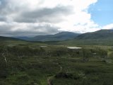
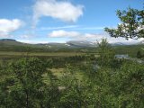
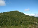
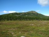
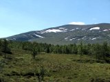
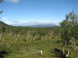
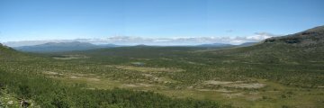
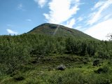
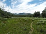
I crossed a little mire and then went up and through a slope using a shallow lush crevice, and on the other side I emerged onto another clearing consisting of both bog and heath in unexpected combinations. The air was rather warm so the light gusts of wind that came at me were welcome. Looking back I saw that all clouds had now receded from the immediate area, and turning my attention forward I felt nothing but appreciation for the sparse forest through which I was passing. Soon the trees ended and I stood at the base of Gråsjöfjället, and having identified a passable route up the slope before me I immediately set about ascending.
The slope was one of quite appreciable incline, but apart from a few spots of bushes and the like I had no problems climbing. Further up the low vegetation gave way to rock, and as I had already noted there was a passage through what would otherwise have been a troublesome wall – apparently the local reindeer used it too, judging from the marks in the ground. A steeper portion with slippery moss followed, and here I found it necessary to plant one hand against the ground, but soon I could take to a faint reindeer path leading up to more level ground.
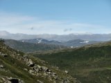
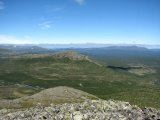
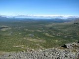
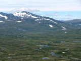
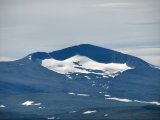
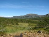
The last bit up went over (or around) low overlapping ledges and stones, and at the top the wind was fairly strong. I should mention, however, that when I say "top" I am here referring to the northernmost one of about 1120 meters – the main summit of Gråsjöfjället lies much further south and is considerably higher. I walked around taking photographs – especially the view towards Helags had caught my eye as I stepped over the crest – and then I sat down on a rock and just enjoyed.
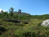
When I started the descent I had noticed that the forerunner of a cloud front was closing in from the west, so it looked like it would be a cloudy evening. Going down I went due north, passing just left of the next marked crest to avoid the worst of the ledge-land. The rest of the way went just fine despite the unexpected appearance of a rock field of two, and just when I reached a reindeer path among the first trees the wind shrank back to nothing. I therefore removed the jacket which I had put back on at the top before continuing, following the path for a bit before turning in the direction of the bridge. I emerged onto the trail immediately east of the signpost, and from there on I made no side trips.
Going along Vålån on the other side was warm and pleasant, but when I was passing over the open area soon thereafter the first signs of cloud-induced diminishing of sunlight appeared. I met the whimbrel(?) at the very same place as before, and now I got a chance to catch it on fil... uh, memory card. As I covered the last kilometer back to the cottages the wind gradually increased, but the sun was also returning to some small degree; the front was moving on and letting the blue sky come out again behind it. It was well before 15:30 when the roof of the main building appeared, and another great day tour was at its end.
« Return to Vålåvalen report
