Friday 11/7 – part one
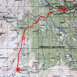
Having arrived in Vålådalen I had a strengthening sandwich before setting out, which I did at 10:15. There was a light wind blowing and the sky was cloudy except to the southwest, which was precisely where I was headed. I passed a family of three just after the first field where all the trails come together, and then I entered the forest. Here walking was comfortable except for the presence of mosquitos, but they weren't too much of a hassle, really.
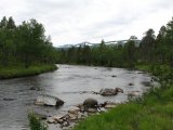
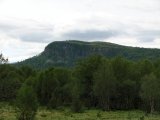
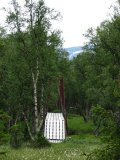
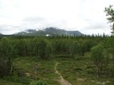
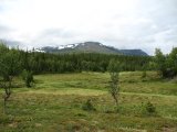
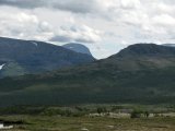
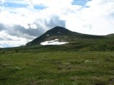
When wide views were offered I noted that some wisps of cloud hung around the higher reaches of Lill-Stensdalsfjället and Ottfjället, and it also appeared to be growing cloudier in general from the east. I passed by four people who were having a break just after the point where the winter trail splits off, and the summer trail draws closer to Vålån and then Stensån. Shortly after this trail had joined up again with the snowmobile trail I suddenly found myself out on a mire – with my mind elsewhere and my camera in hand, I had missed another trail split, but only with some 50 meters or so, and without further incident I then arrived at the lower Stensån bridge.
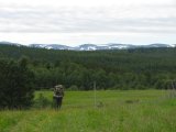
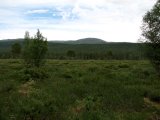
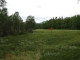
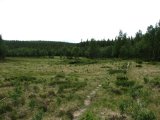
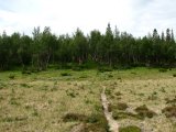
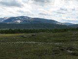
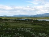
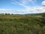
After this bridge the forest grew considerably denser, higher and just deeper. After a few kilometers, however, open expanses started turning up – and so did the sun (as well as a pair of hikers going the other way). I thought that the land looked like it might have been used for livestock grazing in days of yore, or at least could have been suited for such – and this suspicion was confirmed when just after the last of these areas I found the ruins of an old Sámi-ish hut among the first trees. When I reached the next trail intersection the surroundings felt rather familiar from my last passage, even though that took place in winter.
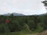
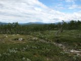
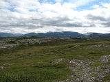
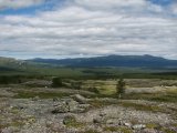
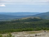
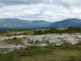
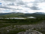
The weather was now rather warm and fair, but during my ascent of the following slope the sun had the good taste of diminishing its power by way of clouds. While I was climbing I suddenly heard the sound of a small bell, which was soon found around the neck of a dog that with its owner was coming down the slope. Having reached above the tree line I walked out onto some naked rock where I had a grand view of the woodlands below and the fjelds beyond, and lowered myself onto a conveniently placed plank at 13:00 for luncheon objectives just as the sun came out again.
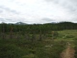
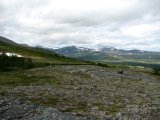
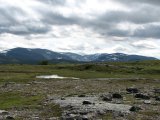
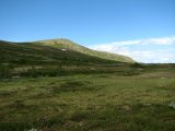
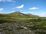
The sky was mostly clear with some cumuli except for the southwestern quadrant (strange change, that), and when the sun reentered the clouds there I got going again; I would have had no problem remaining in that spot enjoying the very wide and very appealing vista, but I also wanted to reach my goal quickly to have ample time for on-site briefing for my takeover. Shortly after restarting I met two other people, but other than that I was alone. Both sun and wind made erratic visits, but towards the end of the stage – which actually is two kilometers shorter than what the signpost at the Stensdalen branch point states – also the southwestern clouds were dissipating.
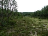
Another error in records lay in the map, and how its markings relate to the reality of the locations of the summer and winter trails; according to the former, the latter should be one and the same for the last kilometers, but in actuality they are not – the summer trail runs at most several hundred meters east of the red crosses. This was not clear to me at the time, and I had started to wonder whether I had inadvertently drifted onto a side path when suddenly the cottages appeared behind a low hill, and I walked onto the yard at 15:00.
