Sunday 17/9
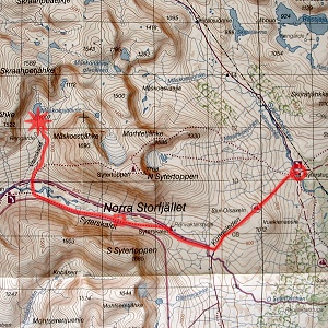
Syter – Måskoesjaevrie
| Horizontal distance: | 15 km |
| Vertical distance: | +260 m, -140 m, +180 m |
| Time: | 4 h 45 min |
| Lunch break: | 45 min |
| Dinner: | Chicken curry – another brand than on day 3 |
| Night accommodation: | Tent |
| Stage classification: | Easy/Medium |
| Map points: | Syter, Syterskalet |
The night was "warm" at first, but following the wee hours it got cold enough that I put on more clothes. I also noticed that there was a lot of condensed water on the inside of the tent; I had all ventilation apertures open, but there was no wind whatsoever to push the damp air out. Later, sometime before 6, I had to go out to take a leak, and upon doing so I discovered that the world was almost completely shrouded in fog – to the west I could only see a hundred meters or so up the slope on the other side of Svärfarbäcken, and the east was only marginally better. I checked on the tent, finding the canvas even wetter than before, and then went back to sleep.
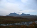
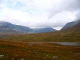
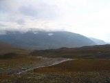
The next time I arose was at 07:45, and then the fog had lifted except for in the Tärnasjön basin – just as the day before, in other words. There was a good deal of cloud in the sky, but apart from the mist-covered lowlands visibility was very good, and it seemed to be clearing slowly. I could see that individual clouds of varying sizes were drifting through Syterskalet, though. The nightly fog had left the land rather moist, but that was hardly enough to preclude me from having breakfast outside. It was looking better to the northwest, but in the general southwestern direction there were high and quite dense clouds, and the drifting ones kept on doing their thing. It was steadily growing warmer, and when I had finished eating a few rays of the sun found their way through the celestial veil.
I made no haste, throwing away some garbage and going to the privy, noting that the mist had lifted somewhat over the lake, but it was still thick over Tärnaån to the south. The cloud cover was pretty thin, and closer to my location it was not unbroken; the veiled sunlight was still slanting down as well. The tent was very wet, of course, and I shook off as many drops as I could before rolling it up, but I knew that I would have to let it dry before being able to reside in it again. By then it was fairly warm, so I decided to walk in light clothes – just the wind trousers below and just the thermal underwear shirt above.
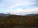
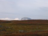
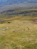
I left at 10:00 in a very light wind. The ascent of Sjul-Olsaxeln warmed me up, which was a good thing as the wind increased the higher I got. Some misty banks remained in the east, and the clouds drifting through Syterskalet had now included S Sytertoppen in their route. There was a bit of weak sunlight, but it gave no warmth, and the increasing wind was quite chilly. After reaching the crest, where there were some reindeer about, I decided to put on the gloves – my hands were the most exposed body parts – but my internal temperature was high enough that I felt no pressing need for a jacket. Kungleden passes straight over Sjul-Olsaxeln and then makes a 90-degree turn into Syterskalet, so it is not uncommon for people to cut across the slope to save a kilometer or so. I, however, stayed on the trail – convenience, remember – noting that it had been redrawn around Ö Syterbäcken, and a small bridge had been erected in place of what looked like a simple ford.
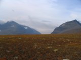
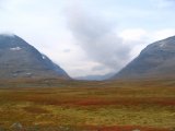
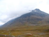
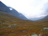
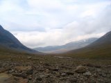
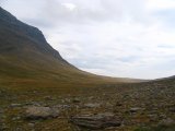
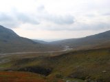
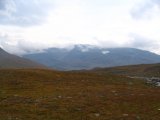
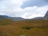
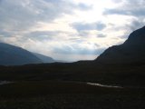
Syterskalet is an archetypical U-shape mountain valley – a textbook example of glacial erosion – and forms an impressive cleft dividing Norra Storfjället into halves. As I was approaching its eastern mouth the wind grew stronger still, and clouds had started appearing around the peaks; there was no longer any sign of the sun either. When I reached the Syterskalet shelter I found two people there, huddled up in thick garments on the lee side of the hut having a food break – they probably thought I was mildly insane in my thin shirt only. I went inside the little building to escape the wind, but it was still too early for lunch, so I just had a bit of chocolate and water.
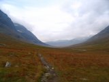
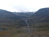
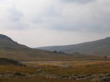
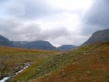
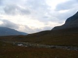
Even though I was not still for long, it felt considerably colder when I started walking again, and it probably took a kilometer before I was fully comfortable. Inside the valley the ground consists of pleasant grassland and coupled with the sheer mountainsides with a prominence of about 800 meters, hiking through the passage is an experience not to be missed. There were still clouds hanging around the peaks, but it was better both behind and ahead; even the sky directly above seemed mostly all right. The ground grew stonier when I drew close to a small stream coming from a similarly small glacier high up in the southern wall, and when I reached the water I walked off to a medium-sized block of stone which I used for shelter against the wind as I sat down to eat after noon, putting on more clothes since I would be immobile for some time.
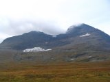
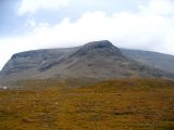
The sun returned to shine a bit in the west as well as on the northern wall, and even though the overall amount of cloud was decreasing, said wall seemed to attract most of those that still came from the west. The wind was rather strong, too. I kept most of the extra clothing on when I returned to the trail, and it didn't take long before I was warm from walking. The ground remained easy trodden, and the weak sunlight ahead lingered. About a kilometer east of the Viterskalet cottages the marked trail that goes over N Sytertoppen broke off, and at this spot I spotted two tents – presumably their owners were making an attempt on the summit, which would be completely concealed by clouds by then. I crossed V Syterbäcken at the trail's designated ford (which was easy per se but the bottom rocks were more slippery than most, so care was required), heading into Viterskalet proper.
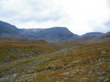
I left the summit trail immediately on the other side, instead following the stream coming from up Viterskalet. I wanted to walk on the western side of that stream and therefore looked for a passable fording place, but I couldn't locate one, so I just stayed on the eastern side as I ascended. I found an old footpath which I followed, all the time keeping an eye on the stream to see if an opportunity would present itself, but then I reached a ravine gouged out by the water and had to increase my distance. By then it was actually very warm, with a bit of sunlight and a surprising absence of wind – almost uncomfortable, in fact. I then saw remnants of a bridge over the ravine, and a faded paths with some cairns – that is where the trail through Syterskalet passed of old, when the Viterskalet cottages was situated close to that bridge. I continued upwards, and as the ravine flattened out again I kept studying the stream, but dry crossing was still out of the question.
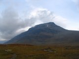
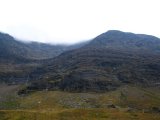
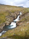
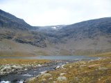
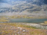
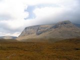
The sun had disappeared and the wind was picking up again, and then I entered a region of hills where the stream made a turn. There I thought that I would be able to get across, but still no luck. Shortly thereafter I came upon the stream from the glacier between Måskoestjåhke and N Sytertoppen, which I would have to ford if I wanted to get to Måskoesjaevrie (and I did). A bit upstream I judged that the depth and current were moderate enough for my boots and started going across. It went pretty well, but unfortunately I misjudged one step which let a few drops trickle over the edge of the right shaft; this intrusion was even smaller than the one in Guovddajuhka, and I thought nothing of it. Shortly thereafter, around 14:45, I reached the lake, which has an interesting position in a "corner" of Skraahpetjåhke, with sheer mountainsides towering above its dark, greenish surface.
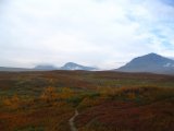
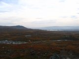
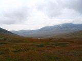
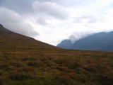
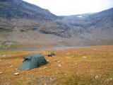
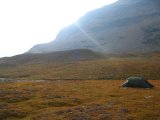
I found a good level area to pitch my tent on, and set about doing so. The wind was fairly strong but came in gales, and in between those it was calm. Having been in contact with the wet fabric, the internal floor of the tent was wet as well, so I opened as many openings as I could and let the wind get to work on it; myself, I sat down in the vestibule, seeking some protection from the gushing air. There were now clouds also on the southern wall of Syterskalet, but the sky was much lighter and freer to the southwest and west. Dense clouds kept drifting in over Dålkoetjåhke and Skraahpetjåhke from the latter direction, though, and they were just low enough to cut the topmost meters off the closest fjelds. I went out for a walk, climbing a nearby hill for a better perspective, and during this there were some brief glimpses of the sun. Then I returned to the vestibule where I occupied myself with solving crosswords. The force of the gales had increased somewhat, but the sun was pouring its light over the land for a while.
The strong winds had dried most of the internal dampness by then, so I moved myself inside for real and changed clothes, having some reindeer meat before it was time for dinner. This I prepared just outside the tent, with myself sitting in the vestibule – the winds were such that I felt no particular wish to subject myself to them for too long. Despite this the sky appeared to be getting bluer all around, but the drifting western clouds kept on coming, and that type of weather was the norm for the rest of the evening. I read inside the tent, consuming the rest of the snack from the day before, and when the setting sun failed to render more warmth I entered the sleeping bag. I played solitaire in the last natural light until I could no longer see the faces of the cards, and then I had a substantial evening snack, last night in the wild as it was.
The clouds hovering around the surrounding summits sank a bit and then remained there, and the wind decreased. I went on reading for some time, now in the light of my LED headband, before turning in at 21:00. The wind was still fairly light fundamentally, but the gales which kept coming every now and then were even stronger than before, and the tent shook with each one. Feeling confident that I was perfectly safe just the same, I had no significant trouble falling asleep, especially as the air temperature remained at comfortable levels long into the night.
