Thursday 14/9 – part one
I woke up pretty early, and lay quasi-slumbering until 06:45. I looked out the window, and my gaze met an all-inclusive cloud cover. Upon closer inspection, however, it turned out that its constituent clouds were rather thin; vague shades of blue were seeping through almost everywhere, and it was my assessment that the sky would clear during the day. There was no wind, but the air was quite cold: around 5°C. The German and I arose at the same time, and while he consumed his breakfast outside I brought out my camping stove and prepared mine atop the cold iron one.
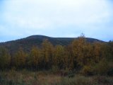
The other man intended to stay in the cottage for another night and was going for a day trip, departing when I had just begun packing. It was still chilly, but as anticipated the clouds were in the process of breaking up, and the sun gleamed faintly upon Ámmarde. As the morning – and my packing – progressed, it was obvious that the weather "wanted" to improve, but change was slow in coming. The German had offered to clean the cottage when he himself left, but I took care of my half of the room just the same.
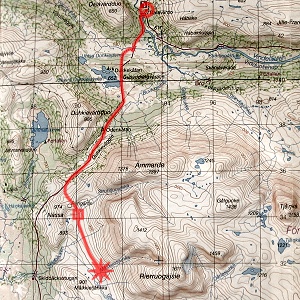
I started walking at around 08:45, this time wearing the actual rain trousers to protect against wet grass, but as I expected no rain I just had the wind jacket on top. The boots were noticeably damp inside, but it wasn't that bad, really. I followed the southward trail, taking care not to step on heavily saturated ground so as to prevent further boot problems. The clearing process was well advanced, with the original blanket now having taken the form of bounded cloud banks, which kept shifting in size and distribution. Despite the cold morning the air was getting warmer fast, and my walking temperature soon approached the comfort limit.
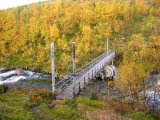
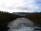
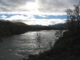
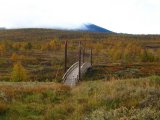
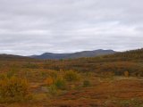
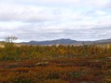
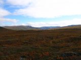
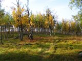
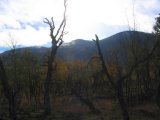
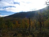
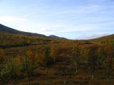
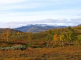
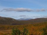
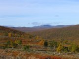
A wind that picked up after I had passed the bridge over Vijvuojuhka helped in that regard, but it soon abated. The terrain I had then entered was of a very pleasing kind: open heathland reddened by autumn colors, bordered and interspersed by low birches in all available hues, with mighty fjelds and ridges rising in the distance. The summer trail split off from its winter companion just after the bridge, and about two thirds of the way up the slope before the reunion I went beyond the aforementioned limit, so I stopped to remove the outer clothing layer – I had passed the more densely vegetated areas anyway. Just then my quick fix of the water flask holder came apart, and from there on I experimented with different methods of carrying it, eventually managing to "fasten" it alongside my hip using the rucksack straps; it wasn't ideal, or even completely comfortable, but it worked.
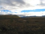
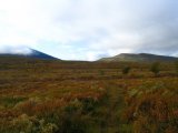
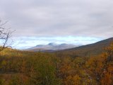
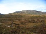
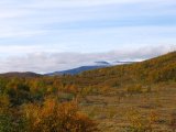
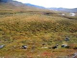
It was windless again and the sky clearer still, and when I was approaching Odenkåtan the sun came out. The sky then held only high, thin clouds, except for a few wisps still attached to the top sections of Ámmarde. Shortly after passing the hut I came onto another vast and most enjoyable heathland, this time beautifully undulated. The openness of the landscape together with the fact that I had ascended about 100 meters made for great views all around, and everything was simply blissful – especially with the previous days in mind. When the trail passed through osier thickets the path was rather muddy, though, but that I could gladly take.
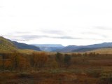
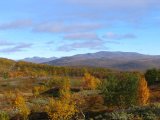
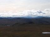
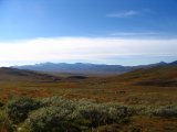
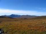
When the thickets ended I turned up the southern slope, aiming for the little pass just east of Nássa. Ascending was easy enough, but by then it was very warm, and despite my light clothing I was perspiring heavily. The map had a reindeer enclosure sitting in the saddle, but I saw none as I reached the crest, where a light wind cooled things off slightly. From there I had a splendid view of both the valley below and the more distant fjelds; the higher peaks of Norra Storfjället were still cut off, as the morning's clouds had not yet moved beyond them, but they would obviously do so in due time. Having admired the outlook to my heart's content, I descended to Struhtjuojuhka, where I paused for lunch around noontime.
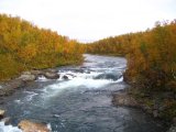
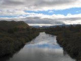
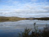
The light wind continued, but the weather was very fair otherwise, and I relaxed in the sun after the meal. Then I went in search of a suitable fording place in the vicinity, but found none that I was happy with; the stream had quite a lot of (swift) water in it. I put on my sunglasses to protect against the strong light, and proceeded downstream, keeping an eye on the depth and current. It was actually not that long before I spotted a location which looked like it would do, and crossing was not particularly difficult once I got around to making the attempt, even though it was nearly too deep for my boots.
The ground on the other side was a bit boggy and had quite a few low shrubs, but it was nothing to worry about. I came in close contact with a herd of reindeer, and then, as I passed the union point of Skidbäcken and Guovddajuhka at a (large) distance, the terrain became a bit drier. There were still wet patches around, though, and also a multitude of reindeer paths which I utilized when it suited me. When the time had passed 13:30 I was drawing close to Måskuosjuhka, and just before the stream I came upon a surprisingly large, flat and dry patch, and I immediately knew that I had found the camp site of the day. I rested the rucksack against a rock and had some reindeer meat and water, pausing briefly before setting out on the second stage of the day...
