Sunday 19/9

Lunndörren – Vallbo (via Blanktjärnarna)
| Horizontal distance: | 21 km |
| Vertical distance: | -230 m |
| Time: | 6 h 45 min |
| Lunch break: | 1 h |
| Dinner: | – |
| Night accommodation: | – |
| Stage classification: | Easy |
| Map points: | Lunndörren, Vallbo |
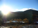
There was a distinct absence of wind-related noise in the morning – the storm had subsided sometime during the night, and the new day seemed as fair as the previous one had been. After a sturdy breakfast, I readied myself for departure; since I knew that the path I was to take would involve a fair amount of bog-trampling, I put the boots on from the start. At 09:30, I was on my way.
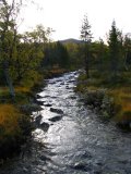
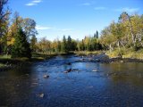
At the very first brook, I managed to reprise the blunder from the day before: I dropped the map. Naturally, it slid off the footbridge and into the water, but luckily the water was shallow enough for the boots to handle, and there was a rock in the middle of the stream which the current pinned the map against, so I could retrieve it in quick fashion. It was rather wet, of course, but still "functional".
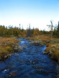
Yet, there was some discrepancy with reality, because a section of the trail's route had just been relocated. This became apparent when the trail markers veered off to the right, whereas the footpath (which agreed with the map) continued on straight ahead. I decided to follow the path (and the map), since the old branch point would be clear enough. As expected, I found traces of an older path going off to the north where the map had the trail, so I followed that. It was almost all bog, and very wet, so perhaps that's the reason the "official" trail was moved, since it's supposed to be for both summer and winter use. After a while, above Stubbtjärnen, the markers rejoined the old track, and soon thereafter the trail entered the forest. I also passed another pair of hikers just before going into the woods.
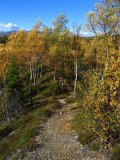
That forest trail is a summer trail, and is marked with red paint on trees rather than the crosses-on-poles. Other than that, it's simply a well-trodden footpath, and I just walked along it without thinking too much about it. However, after passing a larger clearing, the path lost itself among the trees, apparently splitting up into several very vague routes little more than animal tracks. In short, I couldn't make out the direction of the trail with any degree of certainty. I also realized that I hadn't noticed any red marks for perhaps a kilometer, so I started wondering whether I had unknowingly turned off the actual trail onto a side path. Therefore, I went back a bit along the path, where it was clear, and soon ran into the pair I had passed earlier. They hadn't seen any red marks for a while either, and neither had they noticed any split. So, we decided to go on together, using their GPS navigator as a fail-safe.
Past the point where I turned back, the terrain started sloping downwards, and after some prodding through seemingly undisturbed undergrowth, a faint path of sorts appeared, which led to the shore of the southernmost of Ångeltjärnarna (positive ID later). However, there it was again hard to make out, and the map had the trail an appreciable distance from the water. The others had input the coordinates of a fixed point (the intersection of the summer trail and a snowmobile trail on the map) just north of the mere into the navigator, and were heading straight for that, so I rejoined them.
Upon reaching the point, it was clear (if it hadn't already been clear) that once again the map was inadequate, since there was only a winter trail there. We quickly located the summer trail, though; it was going right beside the water, but due to that little detour, we reestablished contact with it at a place where the red markings had reappeared, so that we could be sure that we had the right one. Obviously, that portion of the trail was not what I would have called a "marked summer trail", and I do hope that the responsible parties (at the end of line, the government) have rectified it since. Inasmuch there was some restructuring of the trail system in the area going on at the time, that may well be the case.
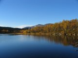
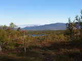
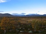
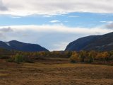
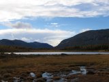
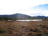
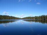
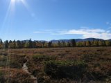
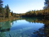
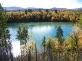
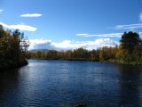
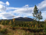
From there on, the trail was clear again, and I left the others behind anew. After passing northern Ångeltjärnarna, the trail came out onto heathland, restoring fjeld vision. At the far end of the heath, it crossed the stream Bruddan via a ford which was just shallow enough for me to walk across with the boots on. Then it was forest some more, before Östra Blanktjärnarna started to emerge. This is a cluster of meres the water of which has a strikingly green tint and a high level of clarity – the result is almost eerie-looking. When I reached the location where the trail to Vålådalen splits into two parts, one going straight north over Vålåsen, and one making a clockwise circle around it, I sat down at some benches (which were marked on the map...) and prepared my chicken-pasta lunch. While I was sitting there, the "GPS pair" arrived and joined me.
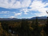
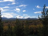
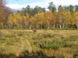
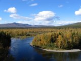
The circumventing trail started out by going atop a high, narrow esker between the largest of Östra Blanktjärnarna and Matskåltjärnen, offering excellent, far-reaching views of the surroundings. After that, it was forest again, but interspersed with clearings and meadows, on one of which I had a close encounter with a reindeer. The land was flat until the trail drew near to Vålån, where it started to slope downwards, eventually reaching a height above the water. Then it was just some hundreds of meters left to the bridge over said stream, which one takes if one wants to go to Vålådalen proper. Since I was headed back to Vallbo, however, I continued along the path on the southern side of the water, pausing to have a sandwich and to change into my regular shoes after I had passed the first bogs.
The remainder of the journey was largely uneventful and, to tell the truth, somewhat boring; for the last few kilometers I just wanted to get it over with. It didn't exactly help that some areas had been flooded, so that I had to skip between turfs in order to stay dry – something which wasn't entirely successful. The last bit consisted of a dirt road, which opened up the view once more, this time revealing Ottfjället first and foremost. I was back at the parking lot in Vallbo at 16:15, and left for home soon thereafter.
