Sunday 14/8

Sähkokjåhkå – Pårek
| Horizontal distance: | 9.5 km |
| Vertical distance: | -460 m |
| Time: | 4 h 45 min |
| Lunch break: | 1 h |
| Dinner: | Chicken curry |
| Night accommodation: | Tent |
| Stage classification: | Easy |
| Map point: | Pårek |
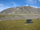
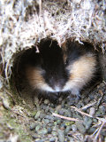
It started to rain almost at once, but it stopped during the night, and the morning was both "warm" and fair, albeit with the usual clouds around the peaks. I stayed in bed until 8 and just took things easy, being in no hurry. As I prepared to strike the tent I discovered a lemming in a hole beside the rock at the entrance, and uncharacteristically enough it just sat there, not even bothering to bare its teeth. The wind had almost succeeded in drying the tent before I packed it, and despite its continued presence I decided to walk in light attire as I left after 10:15.
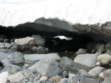
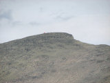
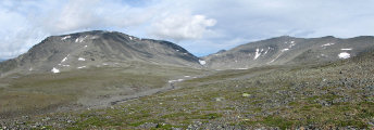
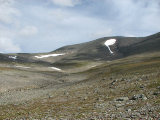
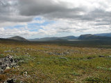
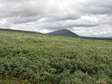
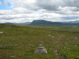
I walked above the rocks where I had encountered the weasel, and then came to the next brook, which was still partially covered with large snow bridges. These were breaking up, however, so I crossed the water in the usual fashion rather than chancing it. The first bit up on the other side was stony, but then the grass returned at least in part. The wind was chilly, and the sun was partially obscured by high clouds, but I managed alright. The third tributary brook was nothing more than a rivulet, and I made my way around the 1322 outrunner on the same stone-grass as before, slowly gaining altitude as I went where the grass did.
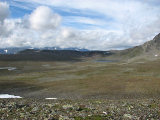
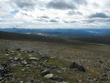
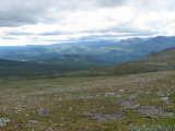
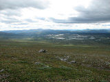
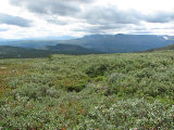
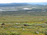
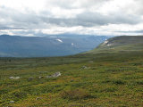
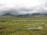
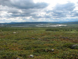
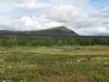
The clouds upon the closest peaks were descending, and on the whole the sky was getting cloudier. I saw one person going westwards on the Pårek path, and between us there were some reindeer. About then I realized that I was unnecessarily high up, seeing as how the ground was pretty stony under my feet, but further down it consisted of heath, so I turned down. When I reached a sizeable rock at 11:30 I stopped for lunch with the Pårek plain and its multitude of meres spreading out below me.
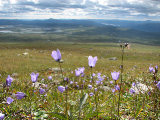
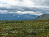
Since it was still somewhat early I just sat still for a while first, looking over both the landscape and the map. The sky was back to part-clear, but the sun was hidden from me most of the time; the wind was still at it, and every once in a while there came a somewhat strong easterly gale. As I ate the Boarektjåhkkå cloud lifted slightly, and the other ones broke apart a bit more. When I donned the pack again I kept the wind jacket on, since the wind in conjunction with the shade made things a bit chilly, and started more or less straight down the slope. This slope was covered in low osier, but progress was easy, and the whole scene felt summery. After a while I reached the path, which varied in clarity, and followed it towards Boarek.
I passed several small brooks, and the lower I got the weaker the wind became. The ground was wet at places, and I had a bit of an ache in a hip, but it was still an easy walk. As I reached a crossroads at a well-utilized campsite I opted for the lower path, passing into sparse birch forest, where I immediately met two others. It was now rather warm and sunny again, so I stopped to remove the jacket even though I was almost at my goal.
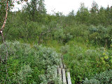
There was another path split, and again I chose the rightmost one, as I did not really need to go into the Sámi encampment, a few buildings of which I could just see the rooftops of. I was now in an area of high bushes, and here and there duckboards started appearing, despite the fact that this path is not an officially cared-for trail. I passed over mires with good cloudberry content, and in the forest there were a lot of blueberries. The stretch felt longer than expected, but finally I reached a sign clearly announcing the course around 15, and after going through another thicket I emerged in a clearing littered with tents.
Go to Pårek report »
