Monday 8/8

TreparksmŲtet – Gasska LŚvdak
| Horizontal distance: | 19 km |
| Vertical distance: | +300 m, -100 m |
| Time: | 5 h 45 min |
| Lunch break: | 30 min |
| Dinner: | Game casserole |
| Night accommodation: | Tent |
| Stage classification: | Easy |
| Map points: | TreparksmŲtet, Gisuris |
I woke up several times, and during the final one I crept into the sleeping bag and slept until morning. When I arose at 07:15 there was a bit of wind, but the sky was still partially clear, with veils and lower clouds hanging off to the southeast. A single hiker passed across the SjpietjavjŚhkŚ bridge as I started breakfast, during which I managed to hit my toe on a rock causing a wee bit of bloodshed. The tent had dried up nicely from the nightly rains, helped by the wind which was still making itself known; otherwise it was fairly warm, but I decided on wearing the thermal underwear beneath the wind dress as I left after 9.
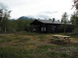
I could have continued on the eastern side of SjpietjavjŚhkŚ, but that would involve fording SierggajŚhkŚ later on, which I had no data on, so I opted for the western route partially marked on the map. I therefore took the bridge and climbed up onto the next plateau, where I immediately found a path leading off in the desired direction. However, since I wanted to check out the Kisuris cottages now that I was so close I kept to the trail, and before long the buildings emerged from the trees. There were a few people there, but since no one made any attempt of interaction I took another eastbound path, which I soon realized was the old Padjelanta Trail. I therefore broke off and made my own way through the underbrush, and after passing a strip of trees I climbed up onto yet another plateau of intertwined heath and mires; I had been feeling somewhat warm below, sheltered from the wind, but now it returned in the fullest of force.
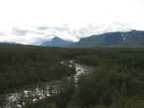
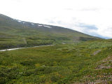
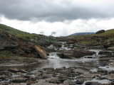
There was a small reindeer herd up there as well, which I skirted as I headed back towards SjpietjavjŚhkŚ against the strong wind. There was a bit of weak sun for a bit, but it soon was swallowed by clouds, and more were crawling over ŃhkkŠ. I reached the path upon a series of small rises making up the edge of the ravine which SjpietjavjŚhkŚ flows through here, and followed it southwards. The wind first increased, and then decreased as I moved in between Gisuris and Sjpietjav. The path was deteriorating, but small cairns could still be seen here and there. Having climbed to the crest of the low slope I was on I saw two people heading my way further ahead, but I soon lost sight of them in the undulating landscape.
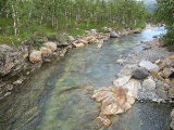
Both the stream from ElliboarkajŠvrŠsj and NjierekjŚgŚsj were crossed without incident or difficulty, and looking back I saw both a tent down by SjpietjavjŚhkŚ below the heights I had been walking on and the other two people, seemingly heading for this tent at a lower altitude. Down here the wind was almost gone, and it was starting to feel warm again. I kept close to SjpietjavjŚhkŚ, which was again lined by low rises, and soon came to the reindeer corrals on SkuollŠvallda, where the Sirges SŠmi village tag their calves in July. There was no one there now, obviously, and by passing east of the main enclosures I avoided having to scale mesh. Now the wind was back, and again I spotted two people approaching, this time from across the stream. Having passed the fences I found myself a good rock on the slope of one of the rises and sat down for lunch some time before 11:30.
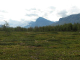
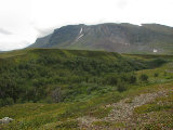
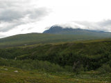
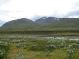
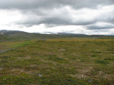
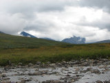
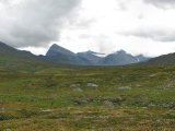
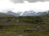
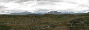
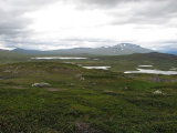
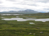
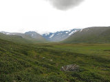
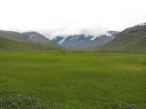
There were some brief and very localized visits from the sun, and thick clouds were drifting around the peaks within Sarek National Park – at the moment I was just outside the border, within Padjelanta – and the majority of them seemed to occupy GuohpervŠgge. The other two hikers were only slowly making their way back into my field of view, which suggested that they had found some trouble in negotiating SierggajŚhkŚ. Myself, I had only the simple LijggebuoldajŚgŚsj to cross, thereby entering Sarek again, and then I headed up towards LŚvdakvŠrddo. A mist was obscuring the peaks surrounding GuohpervŠgge, but it soon lifted, and I found myself in very bumpy terrain riddled with pools. After a while I headed more directly southwards, and having reached the edge of the slope down to LŚvdakjŠvrŠsj I started going down at a shallow angle. Upon climbing a low ridge in the slope I was treated to a magnificent view of the very green GuohpervŠgge spreading out before me.
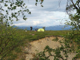
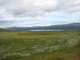
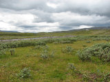
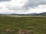
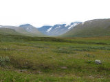
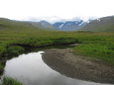
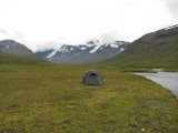
I made my way down to the valley floor where I was greeted by more wind – and another three people coming straight for me. What followed was an extensive stretch of flatland, consisting mostly of grass, but also a fair bit of wet ground, and quite a few canals with or without water. After passing by the trio and finding my way across a number of tricky canals with water, I came to a very nice-looking area of verdure – which turned out to be a large bog, but I managed to cross it without getting wet. I was now feeling tired, and my feet ached, so I started looking around for a suitable campsite, and walked over to a spot I had espied from a distance just beside LŚvdakjŚhkŚ at around 14:45. It turned out to be a terrific spot, but the strong wind was a bit of a concern, so I dumped the pack and walked a bit towards the edge of the valley to see if the low hills there would provide shelter, but since if anything it actually felt stronger there I returned to the streamside spot and put up the tent, aligning it carefully against the wind rushing out of the valley.
I spent some quiet time inside the tent, nibbling on some dried reindeer meat, while the gusty wind kept at it. The clouds were lifting somewhat, revealing more of the peaks further in. After some crosswords I lay down to rest, as I was rather weary, and then prepared and ate my dinner inside the tent. I read in my book as the clouds turned the sky entirely overcast, but they were still high. After nearly falling asleep I went out to fetch some more rocks to secure the guylines, and realized that there was a sand beach nearby, complete with a small lagoon of sorts, and if the weather had been more inviting I would have considered bathing.
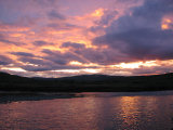
Later in the evening the front that looked like it had been approaching all day, in stages, actually shrank back, letting the sun come out again as it sank in the west. It was actually a rather lovely evening – or would have been, had it not been for the cold, incessant wind. By the time I had my evening snack it was almost clear over BadjelŠnnda, and most of the nearby peaks were out in full. The wind had also abated somewhat, and the view out through the tent opening was extremely pretty as the setting sun set the evening clouds aflame. When the light had faded I went to bed at 22:30, still feeling warm.
