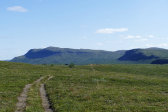
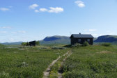
Sunday 6/8 – part one
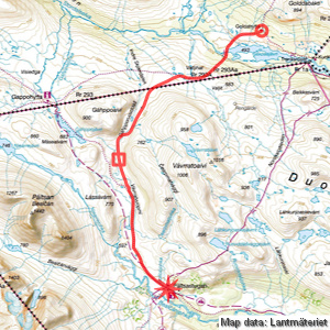
Goldahytta – Pältsa (via Gáhpporuovddáš)
| Horizontal distance: | 18 km |
| Vertical distance: | -30 m, +200 m, -100 m |
| Time: | 5 h |
| Lunch break: | 45 min |
| Dinner: | – |
| Night accommodation: | – |
| Stage classification: | Easy/Medium |
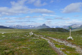
I slept well and arose around 7. The clouds had all but disappeared and it was still, so naturally I had to go for a morning photo round. After breakfast I wrote a note concerning the gas leak – I had found an entry in the guestbook from a couple of days prior saying that its author was reporting it to Troms Turlag and asking subsequent visitors to pass the message along – and then packed up and cleaned myself out. The Norwegian fellow departed towards the north, and soon I left myself before the clock had struck 9, eschewing the jacket.
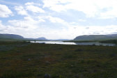
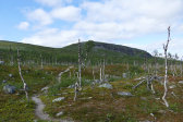
The buildings were quickly swallowed by the forest and were nowhere to be seen when I reached the plain. Here the trail was easily trodden and I made good speed, noting a pleasant current in the air; the sun was clouded before long, however. After the bridge over the western outflow of Golddajávri (it has two opposite ones) I wondered whether the trail was headed in the wrong direction, but it eventually acquired a more expected heading and started climbing the slope next to Valljihat. The first part of the forest there was sparse and many of the trees were broken, but it got a bit denser (and more upright) after a while. Shortly before the tree line I met the German from the day before, who was stuffing his face with blueberries, and then the main incline took by.
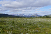
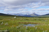
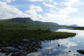
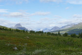
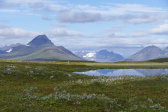
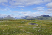
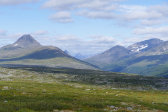
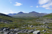
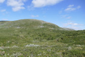
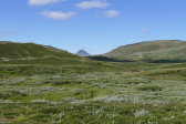
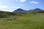
The sun chose this moment to reassert its presence, and the climb was a bit arduous as a result in the still air. It was also fairly short, however, and landed me up on a new plain of great extent. I took a short break at a signpost before pressing on, and after passing a nearby bridge I started looking for a good place to break off from the trail. I ended up staying on it until I reached the first of a series of pools, then walking across low shrubs and the like plus a couple of rock fields as I headed for Gáhpporuovddáš. The ground turned wetter for a bit before drying out, and more and more of the impressive Stordalen and surroundings to the northwest came into view, with Bárrás as a mighty sentinel above.
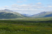
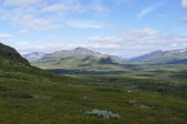
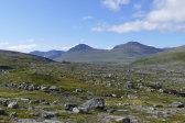
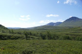
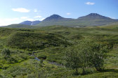
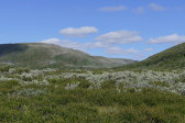
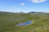
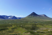
I passed over some low hills which gave way to heathland and then mires, and as I turned into Gáhpporuovddáš the ground got both drier and rockier but was generally good hiking-wise. Now that I could see into the valley there were clearly more rocks ahead, but not to the point that I would have to walk on most of them; I could also mostly go over or around the various small rises that covered the floor. I tried to keep my distance to the center, passing a few reindeer, and soon found myself on a nice crest with a good overview of the very verdant valley that opened up on the other side.
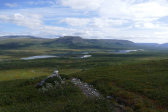
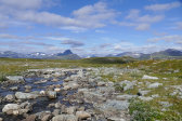
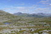
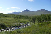
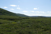
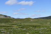
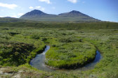
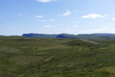
I crossed a splashing stream and walked on the eastern side for a while, but when the ground grew wetter and bushier I crossed back to the western side. Here the ground was better at first, albeit more slanting due to the increased prevalence of hillsides, but eventually the increasing density and height of the vegetation made me switch sides a third time. There I walked up onto a series of long rises which I followed as they bent downwards, crossing a ravine at a point where the stream started meandering heavily. The sun was now out in full but there was a wind to alleviate its effects as I crossed a sequence of heath plateaus before sitting down for lunch at the edge of a hollow around 11:45.
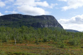
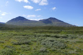
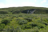
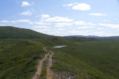
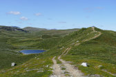
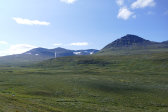
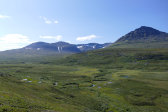
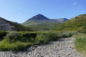
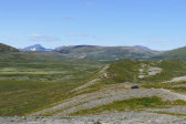
I had a warm but pleasant break with the imposing northeastern face of Bealčán before my eyes, with the less imposing but very eye-catching steep gravel ridge hosting the valley's trail closer by. I then continued through the hollow up onto a grassy plateau, followed by weakly defined paths through increasingly bushy terrain, which then thinned out as I approached the stream again. Said stream, which had still held water at the lunch site, was now completely dry, leaving a fairly deep and narrow winding gorge. I stepped down into it where the brink was somewhat lower and then walked on the bottom for a little ways before I found a corresponding spot on the southern side, and then ascended part of the ridge's slope by way of a grassy groove right where it bent southwards. I then rounded this bend on the eastern side, utilizing a flat portion about halfway up, and then cut straight across the slope until I landed on the trail at the lowest point of the crest.
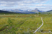
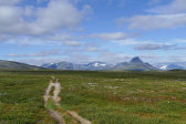
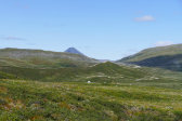
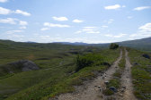
This trail was in the way of an ATV track and was very easy to walk, even though my legs were starting to feel a bit tired from the trip thus far. There were two people a kilometer or so behind me on the highest point of the ridge, but other than that I saw no movement. The terrain had rather a curious look with the narrow ridge sitting in the middle of what was basically a completely flat plateau; the eastern side was still entirely dry, but there soon was a bit more water on the western side. I met a cyclist before the trail descended the side of the ridge to Čearpmatjohka, which was also devoid of water, and then followed a smaller footpath up the next slope onto a less sharply defined ridge where the ATV track soon returned after a detour.
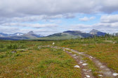
It had been still and very warm for a while, but once I reached higher ground the wind returned to cool me off somewhat. I suddenly caught sight of the cottages some distance ahead as the ridge flattened out into a raised plateau, and I could soon see some people out and about. After another follow-the-footpath junction I passed the expectedly non-existent Bollošjohka and walked directly to the smaller warden's cottage at 14.

