Saturday 5/3

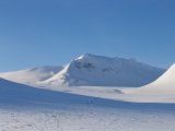
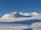
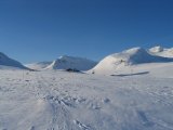
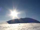
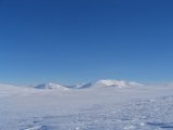
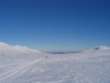
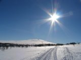
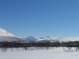
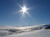
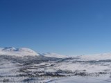
My hopes were met, and then some. How about a perfectly clear sky, brilliant sun, little or no wind, and just a large amount of great natural beauty? The view during breakfast definitely topped that of the day before...
I left at about 09:30, gliding down the slope to Enan with a great amount of both ease and joy. The air temperature as such felt somewhat chilly, but the sun had rather an impact, so the end result was that once I started actually exerting myself to some degree, it was fairly warm – a little bit more than what I would have preferred given my clothing, but not so much as to be uncomfortable.
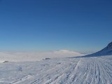
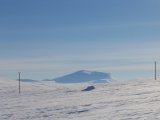
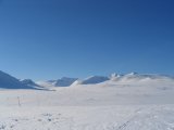
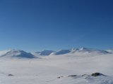
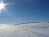
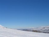
Having climbed the slope on the other side of the vale, I broke off from the trail and took a little detour up onto a small rise, from where I had a better view of the surroundings, and which also provided another fun downhill ride (the image entitled "Further away still" below illustrates this rather nicely, with both the main trail and my tracks clearly visible).
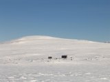
When I was nearing the Spåjme shelter halfway to Storulvån, I passed by one of the men from the day before, who was investigating a snow-covered mound for camping purposes. I continued for a little ways, and a few hundred meters before the shelter, I noticed a moderately large rock sitting by itself a bit off to the left, so I skied over, sat down against it and had lunch. The weather hadn't changed one jot, so I just relaxed and savored the fjelds' ultimate serenity.
I restarted my journey almost simultaneously as the man camped a bit behind; after a quick visit to the privy at the shelter, I caught up with him, and we continued on together. Not too far from the shelter, the trail goes over a ridge and disappears behind Lill-Ulvåfjället, temporarily hiding Sylarna, and from there it's downhill very nearly all the way to Storulvån proper (the stream). Consequently, the remaining distance was crossed in short enough fashion; my companion had a date with a taxi at 18, and considered going off for a short tour in the immediate area to spend the time.
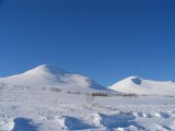
As for myself, I was back at the parking lot around 13, which felt a bit early to call it a day, so after doing away with the rucksack, I started climbing Getryggen, utilizing a well-defined track starting at said lot. I pressed on until I had reached the tree line, where I found a clear spot and looked around. I had fantastic views of Snasahögarna, Bunnerfjällen, and Sylarna, as well as the flatter landscape to the northeast. After contenting myself with the vistas, I set off downwards, enjoying a good go and even managing a substantial overturn (not to worry, the snow was soft).
Having extended the stage thus, I felt satisfied enough to start the journey home at around 14:15. I stopped a few times along the connection road to Handöl to get a good last look at Snasahögarna, for good measure.
