Sunday 18/8

Opmedstjahke – Gråsjöfjället (via Åttfotingen/Silversjön)
| Horizontal distance: | 13 km |
| Vertical distance: | +50 m, -110 m, +210 m, -180 m |
| Time: | 5 h 45 min |
| Lunch break: | 30 min |
| Dinner: | Mashed potatoes with dried sausages |
| Night accommodation: | Tent |
| Stage classification: | Easy/medium |
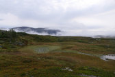
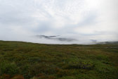
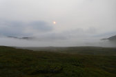
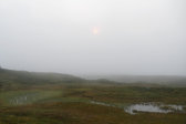
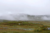
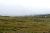
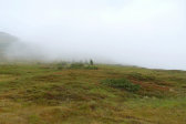
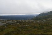
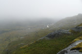
The slight incline reduced the comfort of the night somewhat, but not overly, and the air remained still throughout. When I got up at 06:45 the sky had grown overcast, and low clouds were drifting out of Rutsdalen, which wasn't very good news for my plans for the day. I went up onto the nearby hill and checked the morning's forecast, which was more favorable than the actual local conditions, for now the drifting clouds were expanding upwards, soon enveloping the land in a dense fog. This state of affairs was only temporary, however, for soon enough there were "only" drifting clouds here and there – but still amassed down in Rutsdalen.
I made breakfast halfway inside the tent, changing to a new gas canister towards the end (I had brought two nearly depleted ones), and sat down to eat outside while the drifting clouds shifted. Feeling that I might just as well get underway and wait the clouds out en route I started packing, and as the sole of the left boot had started to come loose in the middle I secured it with a strap. Now the clouds were lifting in the immediate area, as well as further up, but they still lay thick further down. When I was almost ready a new larger cloud threatening fog came up, but when it stopped and started oscillating at 09:15 I decided to start walking.
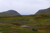
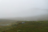
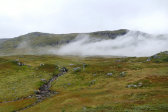
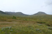
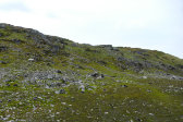
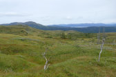
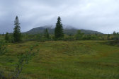
I aimed for Åttfotingen (Octopode – yes, really), which was just barely visible through the parked cloud there, making my way around and across mostly wet grassland. When I came to the broad hollow between said rise and Opmedstjahke proper I stayed at the edge, maintaining and then gaining altitude as it was wetter below. The clouds were slowly lifting as I approached the saddle; the last bit was drier with heath and moss and got more hilly in the small scale. Åttfotingen was now fully in the clear, so I went more or less straight up to the summit...
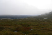
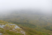
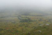
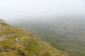
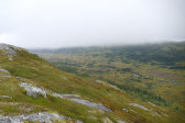
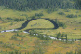
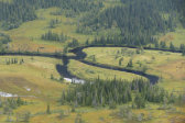
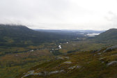
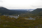
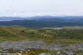
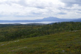
...from which the view down into Rutsdalen was misty but still impressive. I went out to a lower edge with a better outlook upstream, and stood waiting as the clouds continued to lift and the light grew, revealing more and more of the flat, mire-riddled valley bottom and the meandering Rutsälven. I walked back and forth between different vantage points while the view continued to improve, and after a while I spotted a couple of campers on the other side of the stream right by the marked hook of Vuelie-Viengkere.
Having finally gotten my fill I turned back, first following the line of the rise and then going down towards the westernmost of two lines of naked rock faces tracing the stream towards Spaagkehkenjaevrie. After some initial care progress was easy here, but when I came to the hollow I once again followed the western edge, but now on a lower heading than on the way up. Here the ground was wetter, but the grass was often more springy than actually boggy. Eventually I crossed the trail and continued following the edge, which now traced a large mire extending to Spaagkehkenjaevrie.
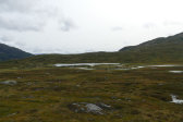
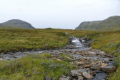
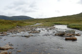
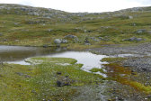
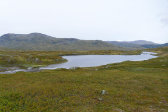
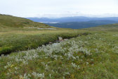
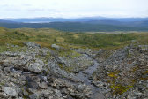
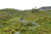
Some more indirect motion saw me rounding a pool and arriving at the first of the two larger streams feeding said marshland/lake between a series of small falls, where I could easily get across with the help of rocks. From there I aimed straight for the pass between Jorpetjahke and Rovtjentjarra, which soon landed me at the second stream at a place where it was fairly wide with plenty of rocks. After moving one of the latter to a better position I had another simple crossing just above a place where the water's meandering motion had carved out a semi-high vertical brink.
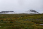
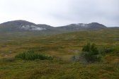
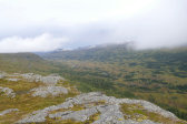
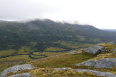
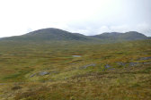
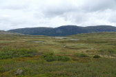
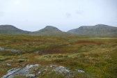
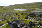
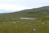
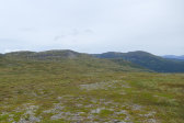
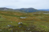
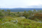
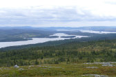
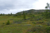
Next up was another large mire which I mostly rounded, but some wet patches had to be traversed. I then simply followed the best course the terrain offered upwards, which was seldom straight, while all the while a weak sun glinted on the various waters and a shifting wind kept me cool. Here a multitude of lingonberries joined the blueberries, but I didn't stop for any of them. As I reached the crest, which was unusually well defined with no "just another one to go" decoys, I noted that all the low clouds had now dissipated and visibility was full, but I wouldn't have wanted to wait at Åttfotingen for all that time anyway.
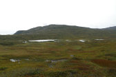
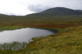
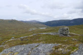
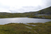
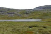
I passed west of the largish tarn up there, which had an interestingly colored end bay after a rocky hill, and then went up the next slope at an angle aiming for the lowest point of the ridge. Here the ground consisted of nice heath, and about halfway up or so I stopped at a group of suitable rocks to have lunch at noon, putting the jacket on against the wind – and the from an already weak level diminishing sun.
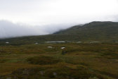
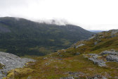
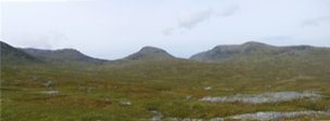
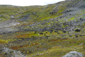
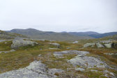
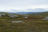
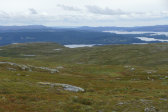
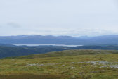
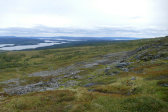
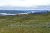
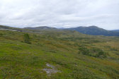
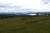
After a shorter break I kept the jacket on since the wind was still at it as I made my way up in a shallow gulley, coming out in another saddle which opened up some very wide views ahead. I then descended east of Silversjön (Silver Lake), passing its twin outflows without hassle. Down here the wind wasn't as chilly as it had been higher up, so I opened up the jacket but kept it on as I traversed the northeastern slope of Storfjället, trying to maintain my altitude. The ground was mostly soft and held some wet patches giving rise to the by now very familiar repeated circumventions, and the lack of features made it a bit tricky to judge the best heading for my desired route above the forest but below the steeper portions of the slope.
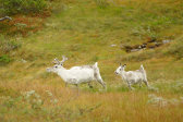
I came to a shelf of sorts, where there were some reindeer, and then descended to another, more pronounced one above Rismyrgrubban. A careful descent of a steeper section consisting of rocky moss followed, after which I tried my best to follow the shape of the terrain as I went around the bend, as it were. I passed several smaller brooks with ease, and a slightly larger one in a very pretty wooded hollow. Soon thereafter I came to an area where the ground was rather wet ahead, and rather than getting too low and find myself in the forest too early I climbed a short slope up onto a steeper edge, where I could follow reindeer paths now and then.
After a somewhat trickier brook passage the terrain flattened out somewhat and turned to mires with interspersed sections of trees, and now I felt that I had come far enough to start losing altitude in search of the path to/from Gråsjön. It was somewhat difficult to match the real world with the map here, as there were more pools of various sizes in the former and the scattered copses made for very uneven lines, but I eventually did land on the – or at least a – somewhat faint but discernable path around where I had expected to.
I immediately lost it in a following bog, but found it again on the other side, together with some poles marking the border of the Skäckerfjällen Nature Reserve. This made me suspicious as the path went in the wrong direction compared to the line traced by those poles, at least according to the map, so I tried a more southeasterly heading for a while, crossing another mire. After a bit I thought I spotted a tarn I had been on the lookout for and turned again; it looked like that path was the correct one after all, and that it was the map that had it wrong. I went straight across the mires and suchlike towards where I was now sure I wanted to go – and before long I reached the path again just in the area where I had planned on camping.
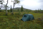
Before I could do so, however, I needed to find a dry spot between all the marshes and bumpy islands of more stable ground. I looked around along the path first, finding the odd "hmm, well, maaaybe" spot, and then broke off closer to the stream coming from the aforementioned tarn, following a ridge between two mires. Among the trees there I first found one area which looked somewhat OK, but also a bit on the wet side covered in damp moss as it was, and then a better one on a little plateau beneath a short slope where the ground was noticeably drier at 15. It was also quite sheltered from the wind, with very easy access to the stream – and I could just get a cell signal, too – so I called off the search and started pitching the tent at once.
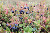
It just fit in the available area, and the result was much to my liking. I proceeded to have a quick wash in the stream, and then munched first on reindeer meat and then on the abundance of blueberries in the immediate vicinity (by which I mean a few meters from the tent). The clouds were growing darker to the west, but I stayed outside until it started to rain as forecast. It was rather light, though, as I lay solving crosswords, but increased in strength as I prepared and hungrily devoured dinner inside.
I spent the evening reading and doing more crosswords while the rain continued, making a quick foray outside in a temporary lull followed by increased intensity. This was accompanied by a fair amount of wind, judging from the sound and motion of the surrounding trees, by as expected my sheltered location felt very little of it. After my evening snack I checked out the forecast for the morrow, and by now there was hardly any rain in it anymore. I read some more in the failing light, and then went out in the rain (which wasn't too bad, really, and the wind had died down) to brush my teeth before going to bed at 22.
