Saturday 16/7

Dromliften – Dörrsjöarna (via Falkfångaren)
| Horizontal distance: | 17 km |
| Vertical distance: | +500 m, -240 m |
| Time: | 6 h |
| Lunch break: | 1 h 30 min |
| Dinner: | Swedish lobscouse |
| Night accommodation: | Tent |
| Stage classification: | Medium |
Despite the continued insistance of the online weather forecast that it was actually fair, rain was pouring down in the morning, but that was of no particular concern. What was worse, just a few kilometers out of town I realized that I had forgotten to bring my hat; I didn't want to turn back, so I went on without it. The intensity of the rain wavered back and forth during transit, and it was still at it when I arrived. The cloud base was low, but there was no wind and the temperature was moderately high. I put on the rain clothes and put the rain cover on the rucksack, and started walking up Drommen's ski slope at around 10:30.
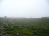
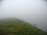
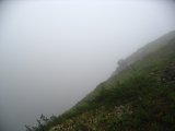
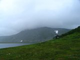
Right where the ski lift ended, the clouds began – the rest of the ascent took place in dense fog. A little bit above the lift, the trail goes close to Dromskåran, a huge canyon in the fjeld formed in ages past by the rapid waters of a melting ice cap. Due to the fog, however, I didn't get to see it (this time; I've looked upon and into it many a time before), but it was a funny feeling standing on its brink and seeing the ground disappear into white nothingness, knowing that there is a considerable near-vertical drop a few paces out.
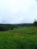
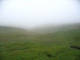
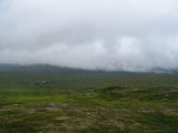
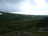
After that, the terrain flattens out and the trail splits into an eastbound and a southbound branch. I took the latter, and after a minor slope I exited the cloud, which restored some visibility, but there were no grander vistas to speak of. The rain had decreased appreciably, though. After some kilometers of uneventful hiking across undulating fields glowing like emarald in the dampness, I entered the cloud again, and soon arrived at the Falkfångarfjället shelter, where I paused to have lunch (consisting of some kind of stew, freeze-dried).
I also discovered that I was rather humid underneath the rain clothes; despite the manufacturer's insistence to the contrary, they don't let much vapor out, and I had been gaining half a kilometer in altitude at a good pace. I changed into a dry shirt before continuing. There was also a map of substantially newer issue than the one I had on the shelter's wall, and there I noticed that there was supposed to be a bridge over Lekarån which I had no previous knowledge about. I had been prepared to ford the stream otherwise, but that was a welcome revelation, especially considering the weather.
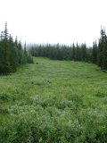
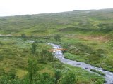
After lunch, I set out in thick fog, leaving the trail and relying on the compass for direction. It wasn't long before I found the brook I had intended to follow down to Lekarån, and it wasn't long after that before I descended out into clear view again. After a while I came upon a larger stream running from my left, and it took me a moment to decide that it was not Lekarån itself, but rather a pretty sizeable tributary stream of it. I hunted for a suitable fording location, and eventually found one a bit downstream, among the trees seen below.
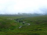
Then I headed southwest, in the approximate direction of the bridge's location. Sure enough, there it was, right in the middle of nowhere; there were no trails going to or from it. Still, it was a modern and robust structure, but its arch was a bit slippery from the rain. When standing on the rise looking down on it, I also saw the first other people that day since I started – they and their dog were on the other side of Lekarån, heading back towards Höglekardalen.
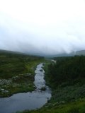
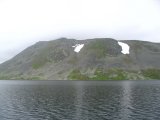
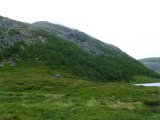
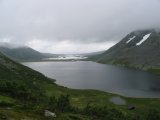
Having crossed the water, I walked up the slope to the trail passing a bit further up and followed that southwards. Even though it is called a "marked summer trail" on maps (including the newer one), it was pretty vague; "sporadically disappearing faint footpath" would have been a better designation. I passed the lake Hån and then stood looking across Gåetiejaevrie at the massive rise of Hundshögen. The "trail" then turned around Bielnjie and followed Gåetiejaevrie's northern shore, but there things got tricky. The maps claim that there is a marked trail all the way to the cabins at the northwestern end of the lake, but right after the turn all kinds of paths vanished and gave way to inclining rock fields and thick vegetation. It took some time navigating that last bit, and the wetness on the rocks didn't exactly help.
I pitched my tent in light rain on the soft heath a little bit before the (locked and uninhabited) cabins, and then went inside to change into dry clothes and put the wet stuff on the small internal clothesline. I decided to make use of the tent's ability to transform into one large vestibule by way of unhinging the inner tent, and prepare dinner inside. While I was doing so, the rain returned with a vengeance, together with strong winds, so I was glad to have managed to get everything up and ready in time – I was perfectly comfortable where I was.
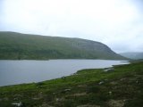
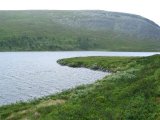
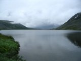
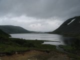
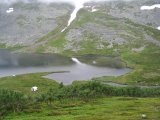
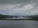
After I had eaten, the rain stopped and the clouds dissolved enough to reveal most of the surroundings. I went out on a small tour, going up on a hill west of my camp site to get a good look at Dörrsjöarna while I could. The lakes are one of many places in Jamtland which bear traces of the last ice age, and even from that distance the interesting formations stood out clearly. Having satisfied my curiosity, I returned to the tent, and soon thereafter it started raining again, and it continued to do so the rest of the evening. I stayed inside reading and playing solitaire, and then had an evening snack before crawling into the sleeping bag around 22:00.
