Sunday 18/3
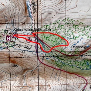
Darfáloalgi
| Horizontal distance: | 8 km |
| Vertical distance: | -160 m, +160 m |
| Time: | 2 h 45 min |
| Lunch break: | – |
| Dinner: | – |
| Night accommodation: | – |
| Stage classification: | Easy |
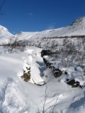
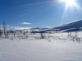
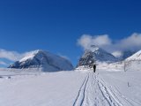
By the time we started there were only some thin clouds here and there – especially to the south – as well as some small wisps around the peaks. It was still and warm, and I quickly changed into my thinner mittens. We took the "upper route" towards the Darfáljohka bridge, catching up with Anna A and Peter (who were going to Tarfala) after a short while. Linnéa and I did not join them, however; we were aiming for a prominent hill in the forest about halfway between Darfáljohka and Darfáloalgi. We reached the stream a bit below the bridge's location, and since it flows through a ravine there we skied up to the steel structure and walked over.
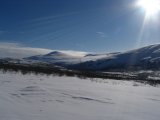
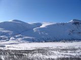
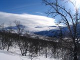
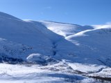
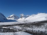
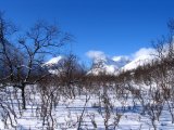
Passing through the forest was an entertaining affair, as the combination of suddenly waist-deep snow and sometimes densely packed trees required some attention. The majority of the way it was nice crust and good space, however, and the brilliant sun glistened on the untouched snow. Marvelous. We reached the hill and proceeded to mount it – the last bit was covered on foot – earning us a nice vantage point, as it shot up well above the surrounding trees. We stood there admiring the vistas for a while, also observing that the southern clouds had gone, leaving only a few clinging to the eastern sky.
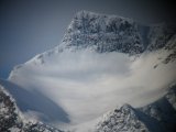
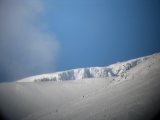
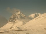
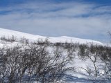
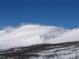
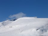
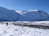
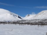
Having satiated our minds with western unspoilt Láddjuvággi – well, had it not been for quite a barrage of helicopters – we continued on towards Darfáloalgi and the "observation ledge" I had found when I came down that way a fortnight earlier. The intermediate terrain consisted of varying types of woodland, and upon arrival we ascended the rise just south of the ledge. We had another viewing session up there, and by then the clouds to the east were also disappearing, although the ones clutching the various peaks seemed on the increase (especially over the Giebmegáisi massif).
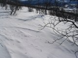
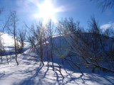
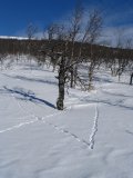
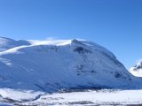
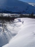
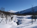
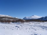
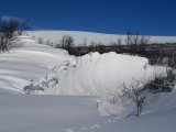
Before starting the descent proper, we skied over to the next, flattened rise to the south, where Linnéa took the lead in a continued southward direction down the slope into the forest. After a while we started going more obliquely, and took turns going first. Some passages were a bit tricky, which made it all the more enjoyable (at least I think so...). We reached the small ravine of a brook, and luck had it that our heading took us directly to a place where the terrain and the snow had conspired to make crossing a simple matter, whereas it was not many meters in either direction before it would have been very hard indeed (see the second image below).
We then wound our way down between some smaller brooks, and eventually we followed the lower portion of the one from before until it intersected the snowmobile track from Nikkaluokta. This we followed all the way back to the station in a light and not at all unwelcome wind, going straight to the canteen to have lunch sometime before 13.
« Return to Kebnekaise report
